
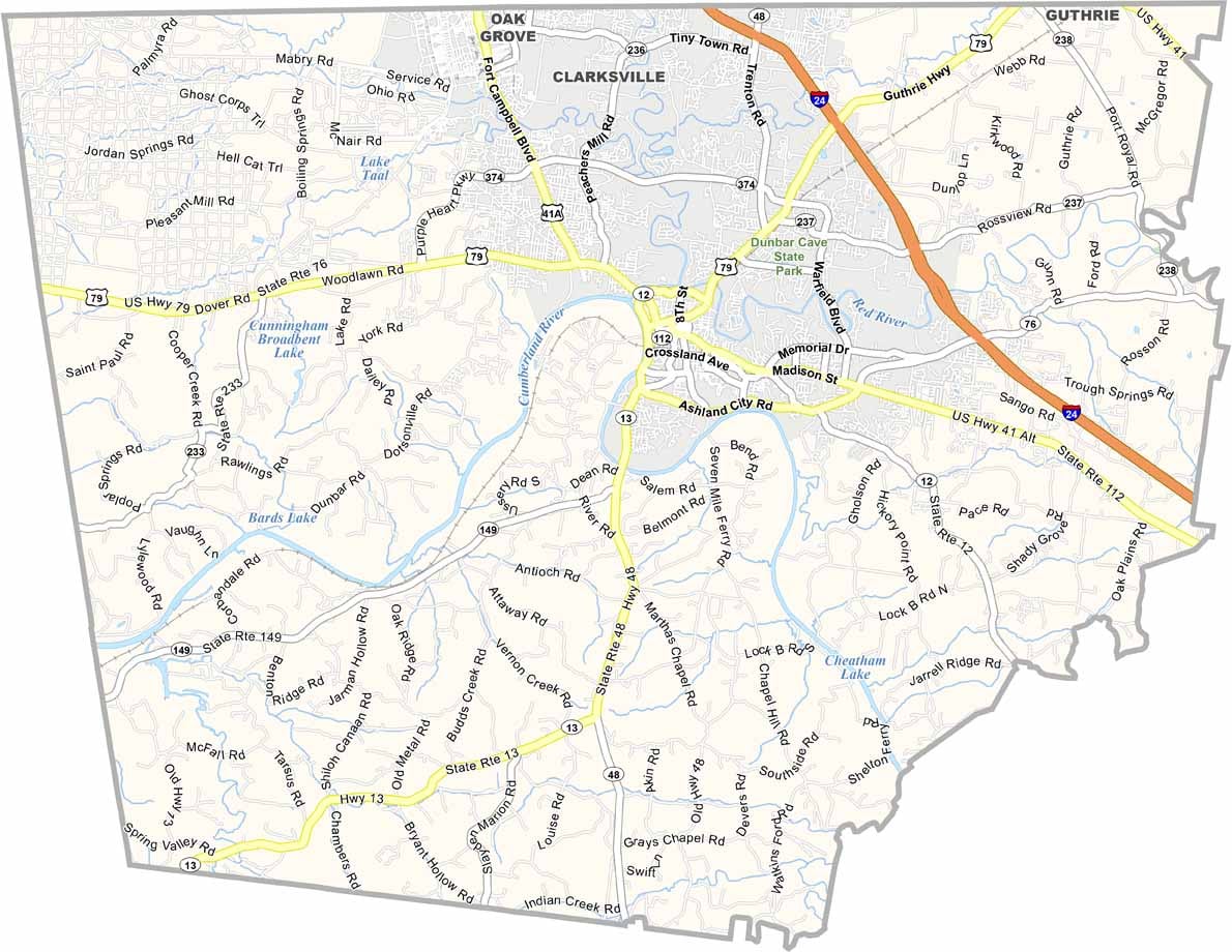
Montgomery County is up in north-central Tennessee, right on the Kentucky border. Clarksville, the county seat, is the fifth-largest city in the state.
It's big enough to have everything you need, small enough to feel like home. Austin Peay State University is in Clarksville, and so is Fort Campbell, a huge military base that brings a lot of people to the area.
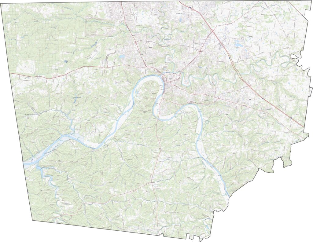
The Cumberland River runs right through the county, which makes for some nice views. The county has a rich history, and tobacco was king here for a long time. You can still see old tobacco barns along the countryside.
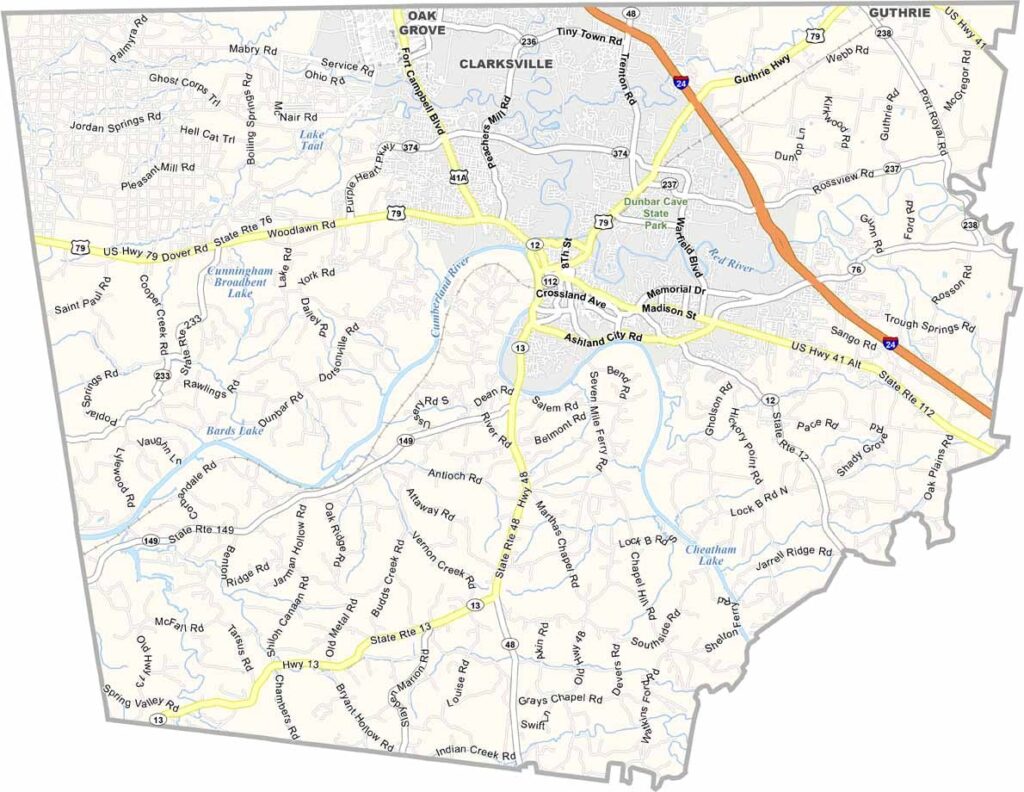
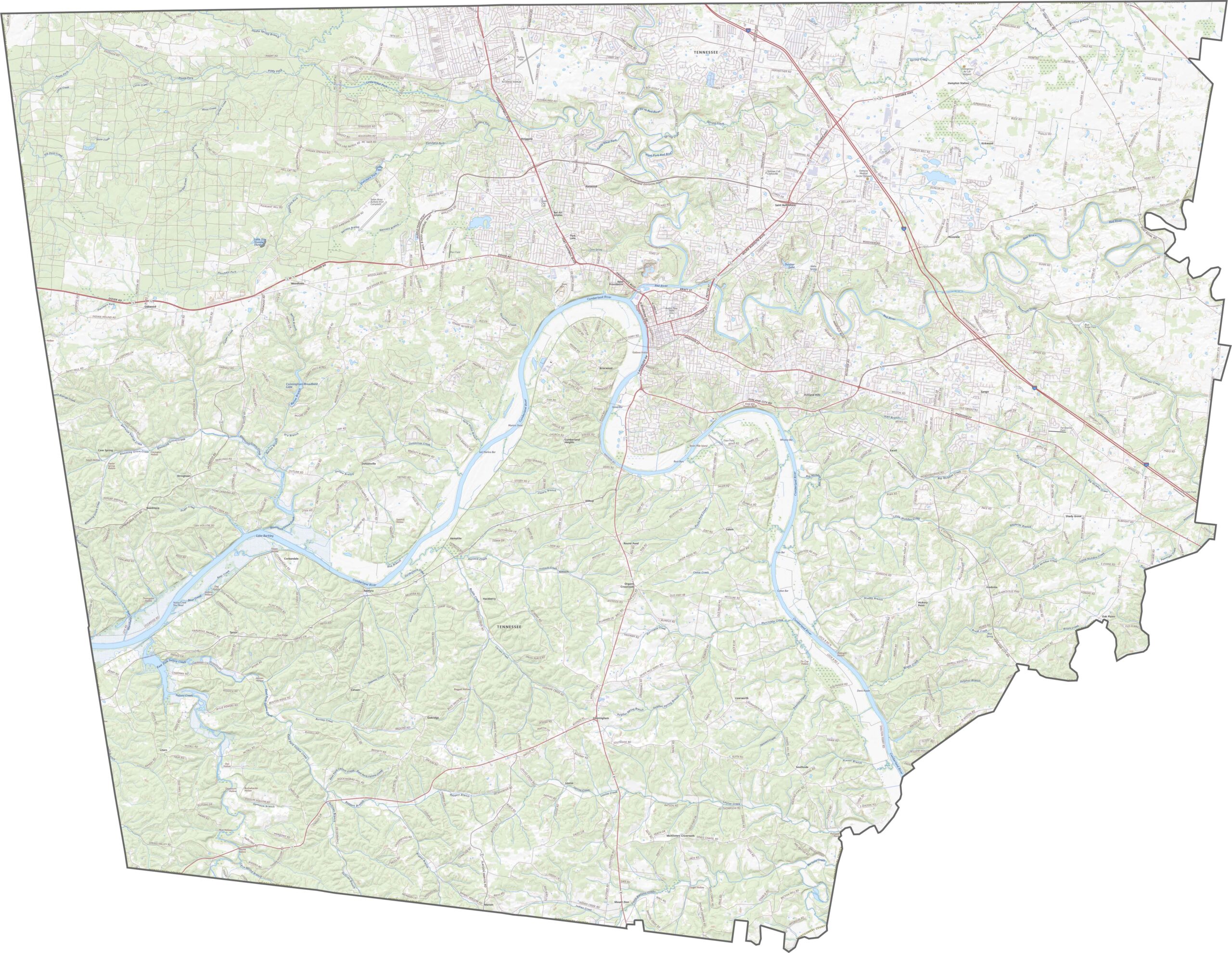
Montgomery County's road system is dense in the north, especially near Clarksville. In the south, though, country roads stretch into farmland, where things quiet down. Navigation can be tricky without a map, so try out our road map below.
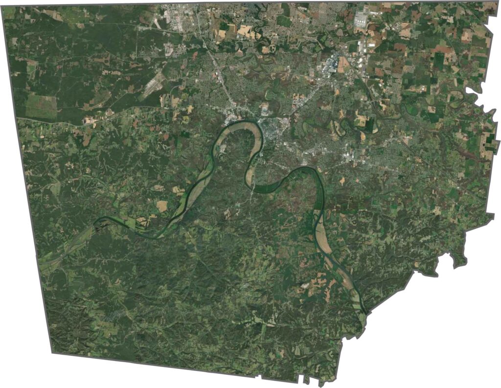
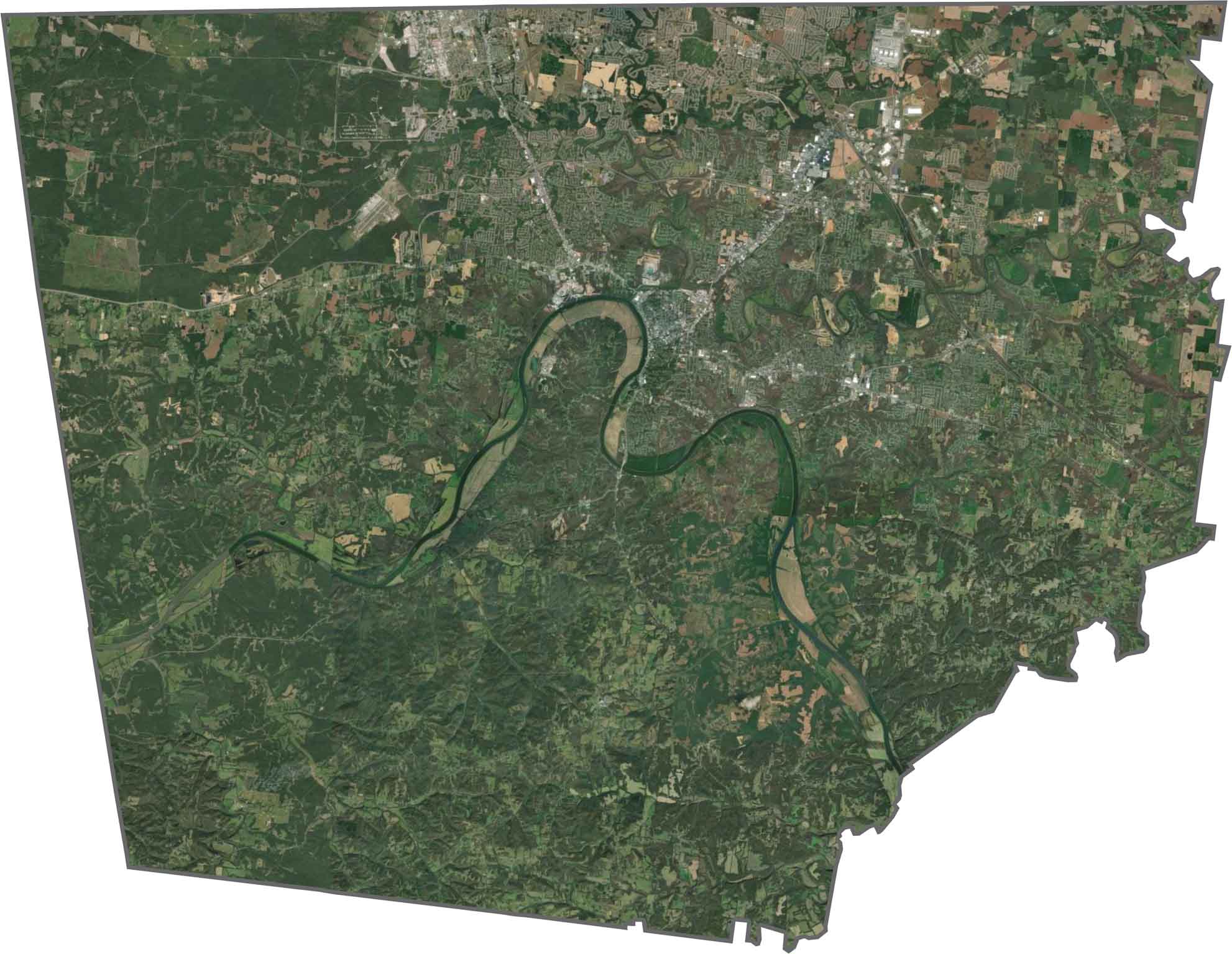
Clarksville spreads wide in our satellite map, occupying most of the north. Green space still holds strong outside the urban zones. The Cumberland River basically splits the county in half. Wooded patches look dense in spots, breaking up the farmland.
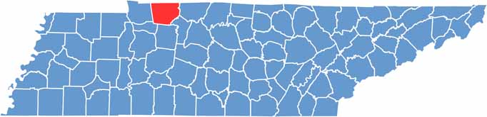
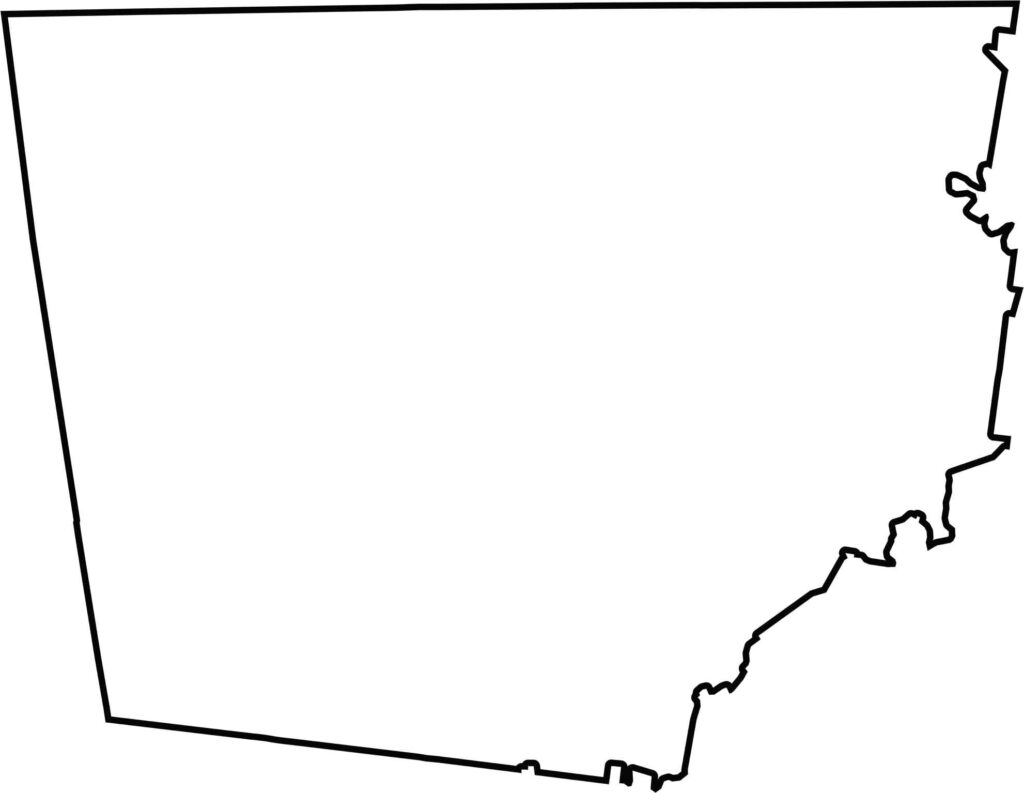
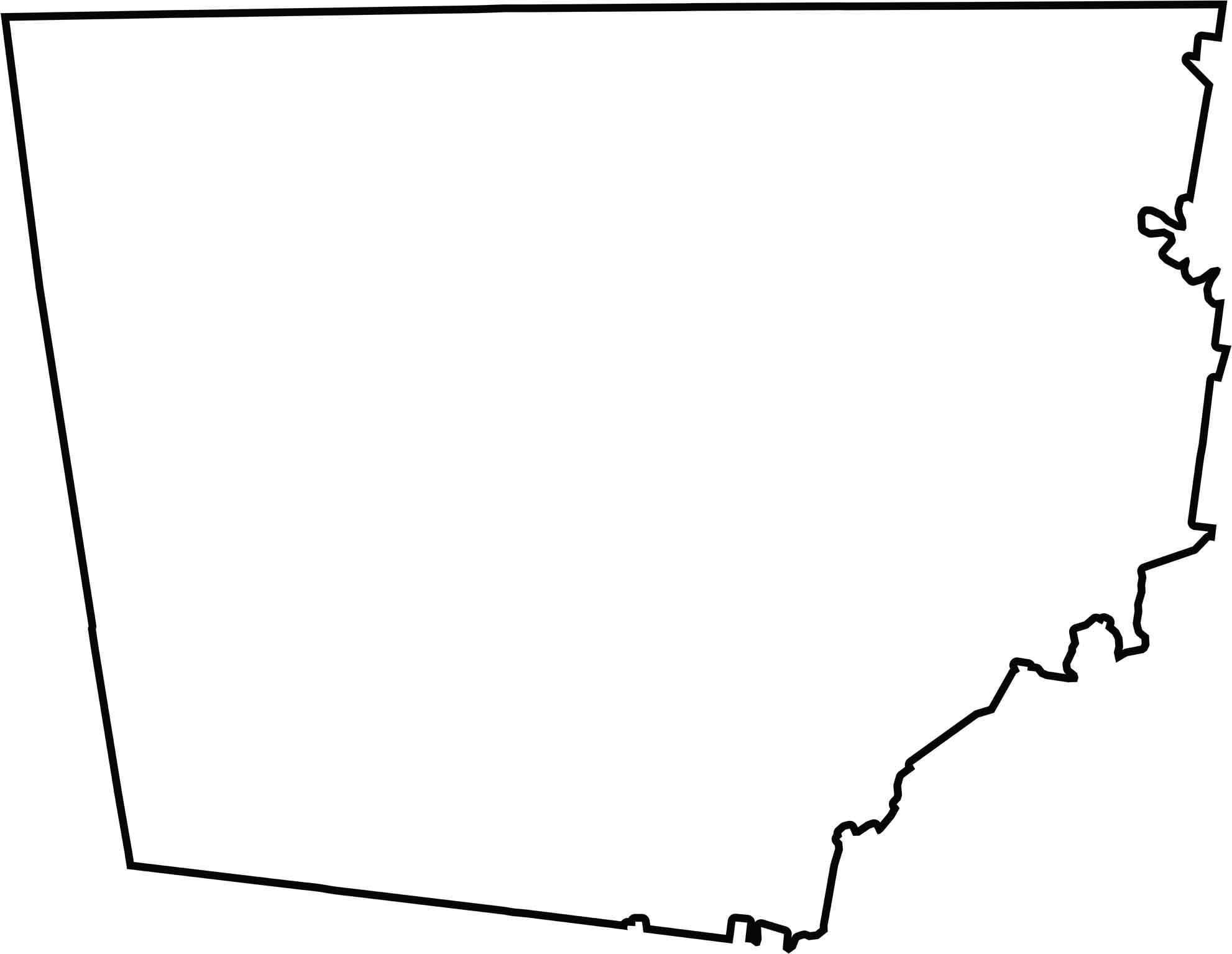
The shape of Montgomery County is nearly a rectangle, but an imperfect one. The county is located in the north of the state, forming a border with the state of Kentucky.
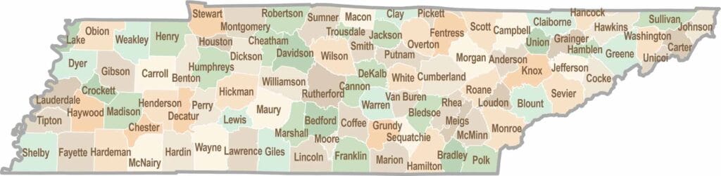
No county in Tennessee is a boring one. Some stretch through the Smokies, while others roll out into the Delta flatlands. Every county is shaped by its land, and it shows.