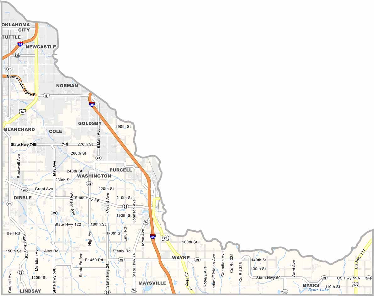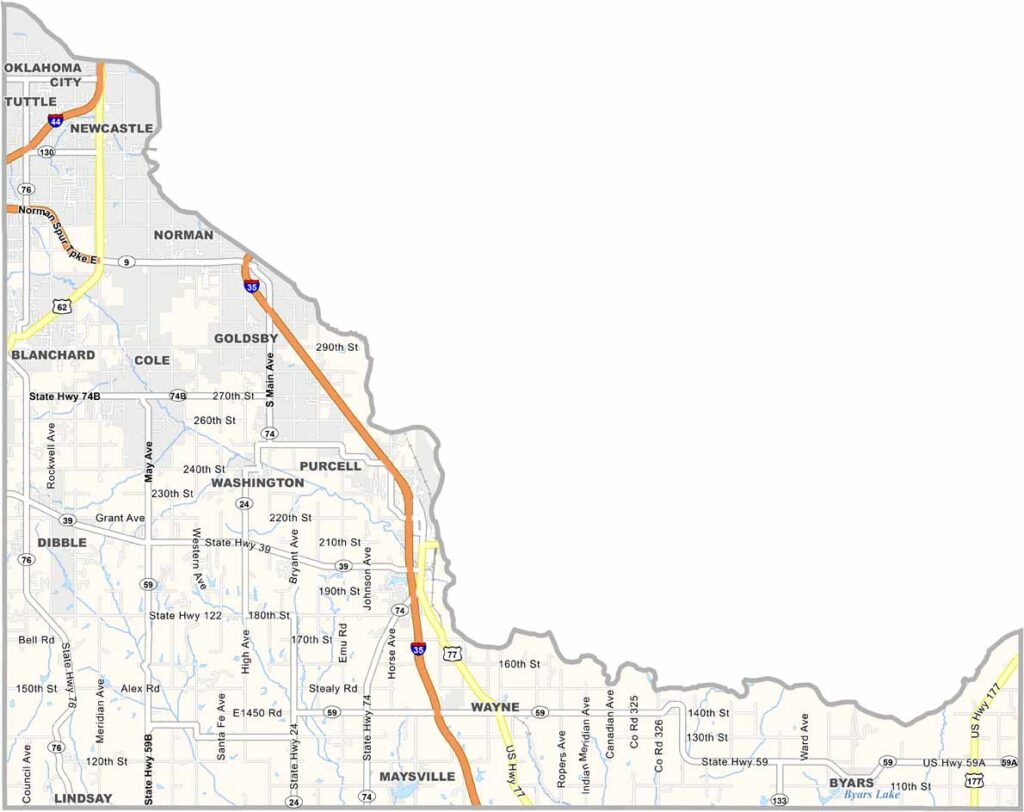
McClain County Map, Oklahoma

McClain County, Oklahoma

McClain County is located in central Oklahoma, just south of the Oklahoma City metropolitan area. Purcell, known as the "Heart of Oklahoma," serves as the county seat.

The Canadian River cuts through the northern part, which basically forms a border with Oklahoma City. The Goldsby Gaming Center is a popular attraction.

Agriculture plays a big role in the local economy, with wheat and cattle being major products. There's a strong sense of community here, and folks are proud of their Native American heritage. It's a great place to raise a family or retire.
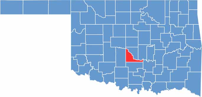

Location map of McClain County, Oklahoma
CategoryDetails
County NameMcClain County
County SeatPurcell
EtymologyNamed after Charles M. McClain, an early Oklahoma educator
Cities, Towns, and CommunitiesPurcell, Blanchard, Newcastle, Lindsay, Goldsby, Wayne, Washington
Interstates and HighwaysInterstate 35, U.S. Highway 62, U.S. Highway 77, State Highway 9
FIPS Code40-087
Total Area (Land and Water)580 square miles (570 sq mi land, 10 sq mi water)
Adjacent Counties (and Direction)Cleveland County (North), Pottawatomie County (Northeast), Pontotoc County (East), Garvin County (South), Grady County (West)
Time ZoneCentral Time Zone (CST)
StateOklahoma
Coordinates35°01'N, 97°28'W
Major LandmarksPurcell Lake, Canadian River, McClain County Historical and Genealogical Society Museum
PopulationApproximately 45,000
Scroll to Top