
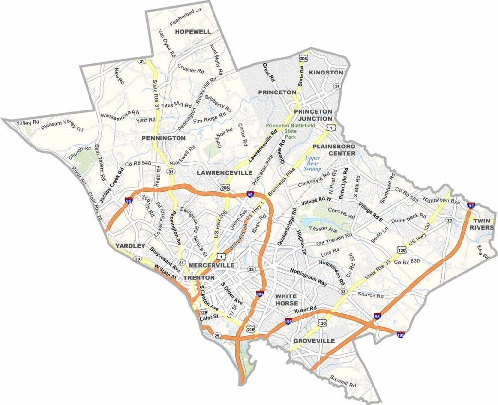
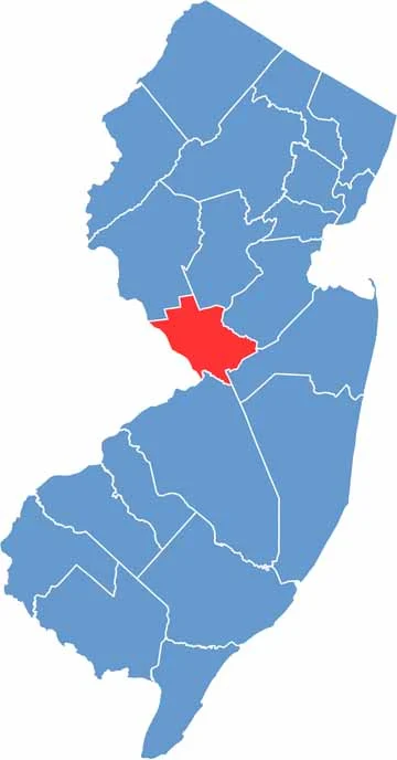
Mercer County sits in the center of New Jersey, straddling the line between north and south. It's home to Princeton University, which gives the area a serious intellectual vibe, while Trenton, the state capital, adds some political flavor to the mix.
History runs deep here. Washington crossed the Delaware River in these parts, changing the course of the Revolutionary War. The county has a bit of everything, from busy suburbs and quiet farmland to urban areas, and restaurants ranging from high-end to hole-in-the-wall gems.
Nature lovers can explore the Delaware and Raritan Canal State Park, a great place for a bike ride or a lazy canoe trip. Art is a big deal too, with sculptures on display at Grounds for Sculpture. Mercer County is a place where past and present, city and country, all come together.
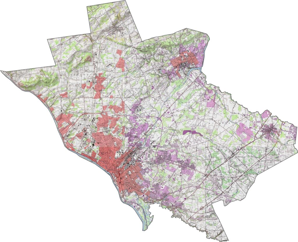
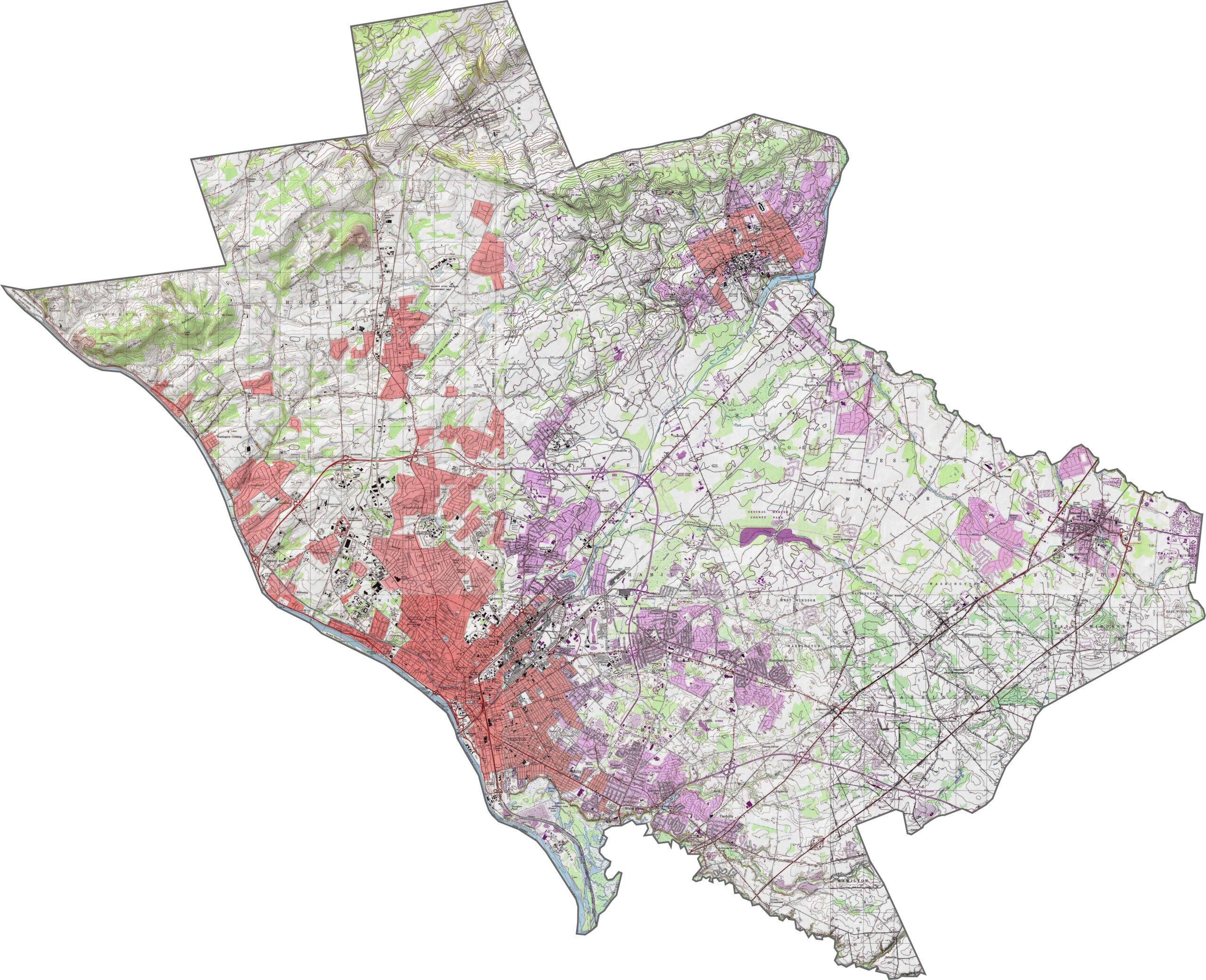
Mercer County is a county of two moods. Trenton and the river sit low and flat, while Princeton and the northwest have gentle rises. The area is not quite hilly and not quite level, but there's just enough change to notice. Look closely and you'll find streams, parkland, and even a few rocky spots.
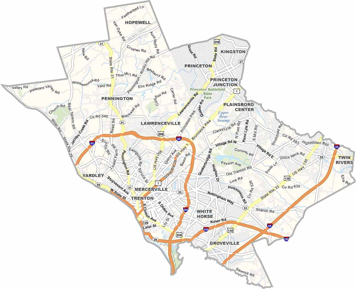
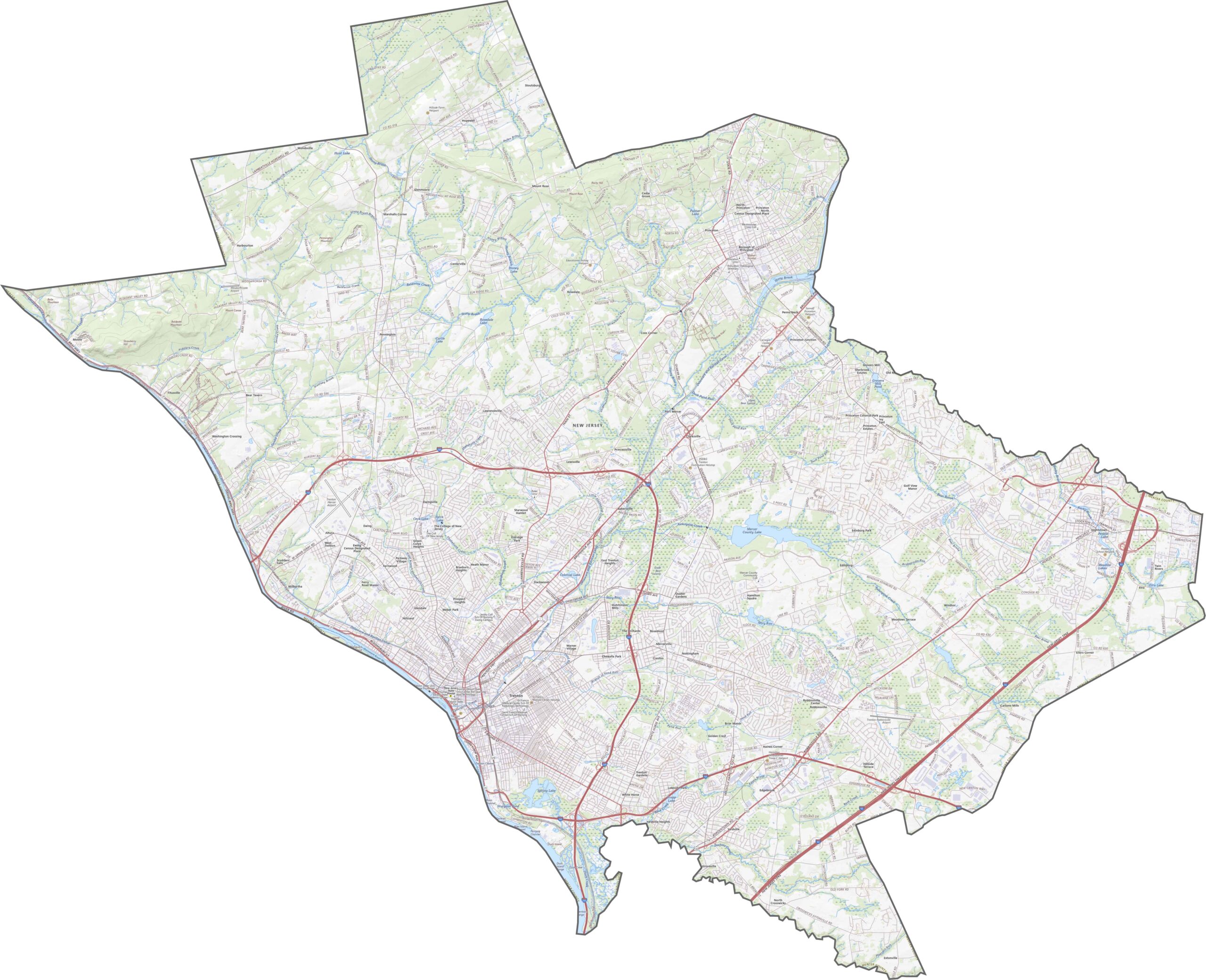
Mercer County has plenty of highway and road options. I-295 swings around the edges, while I-195 splits off to the southeast. The roads here always seem to be either rushing or stuck. Want to see which highway is which? Zoom in on our road map below and check for yourself.
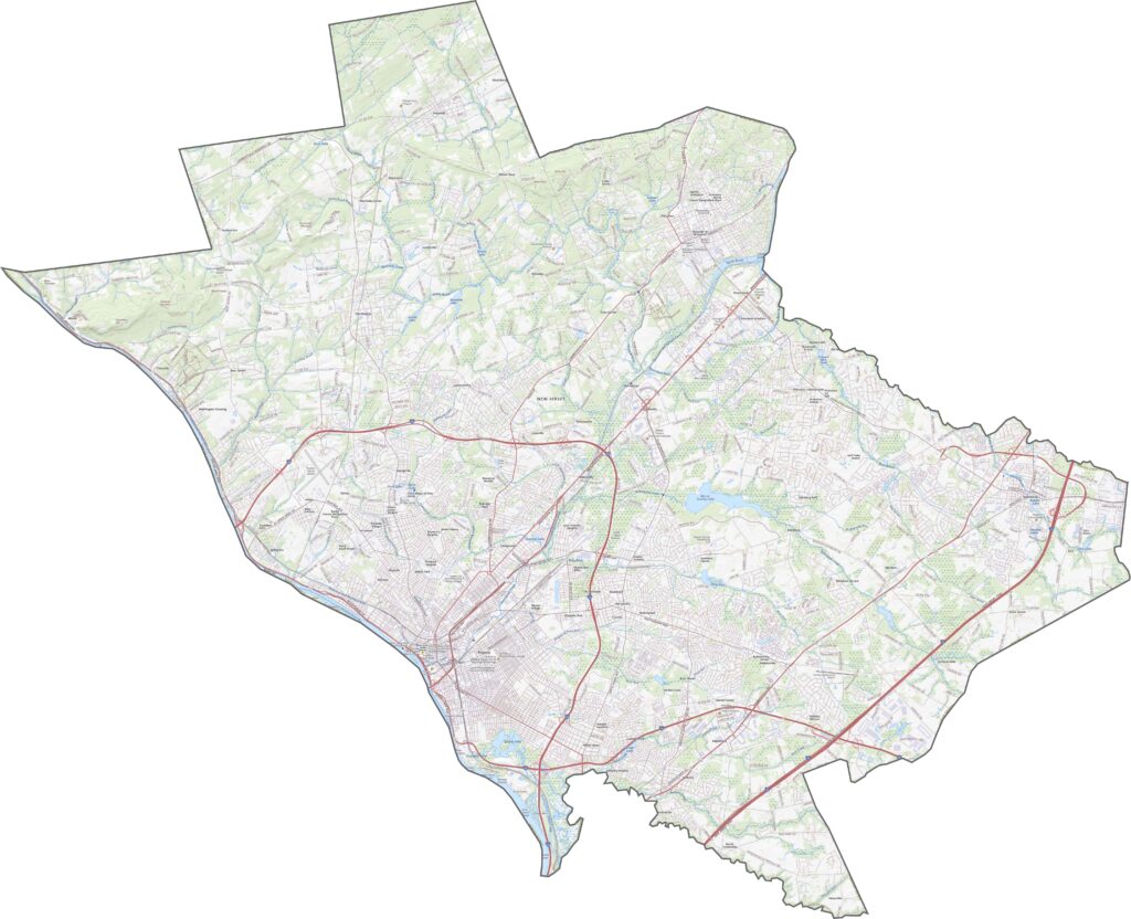
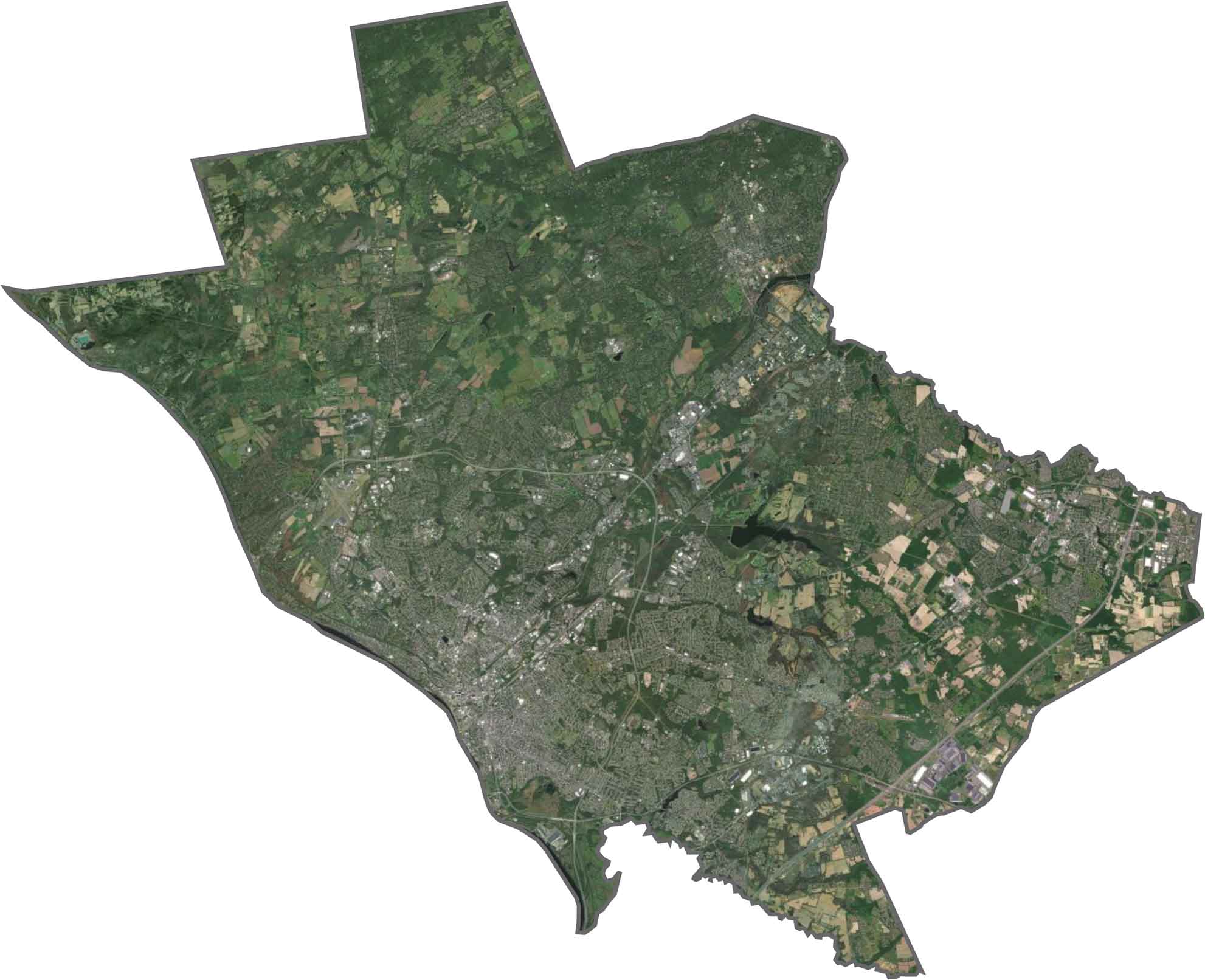
Mercer County is a center of development, with Trenton to the west and Princeton to the northeast. Between them, though, the landscape breathes. Suburban trees, wide lawns, and stretches of green show up clearly, and the Delaware River outlines the southwestern boundary with Pennsylvania.
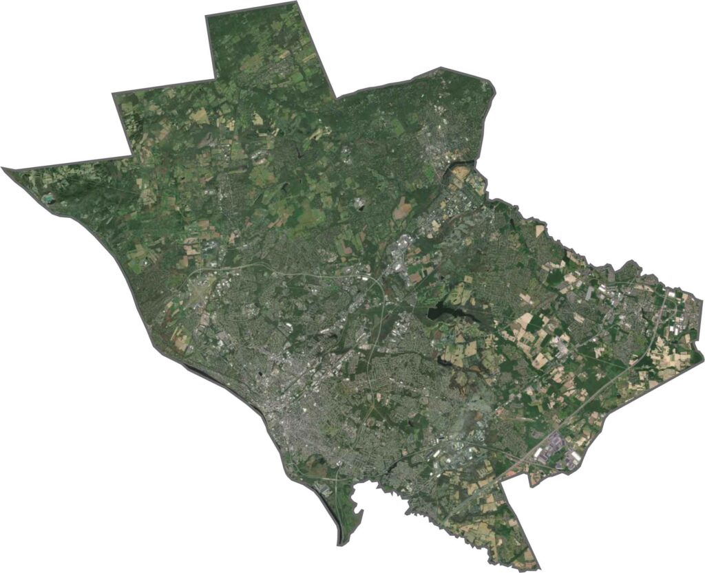
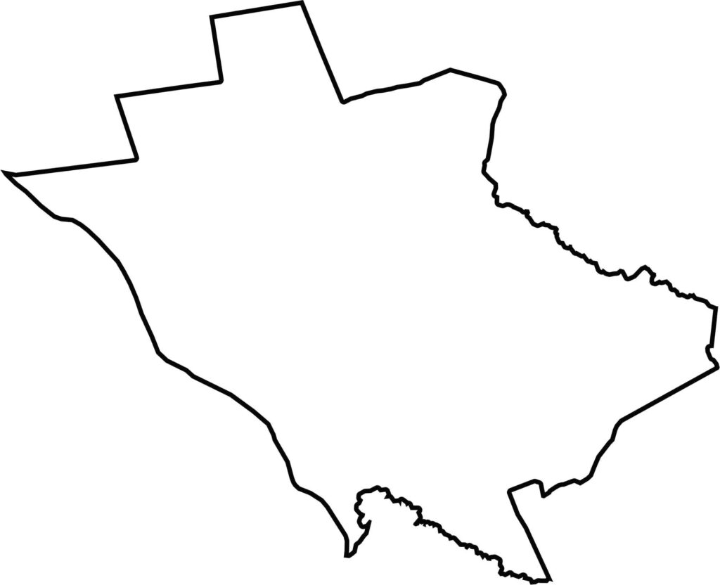
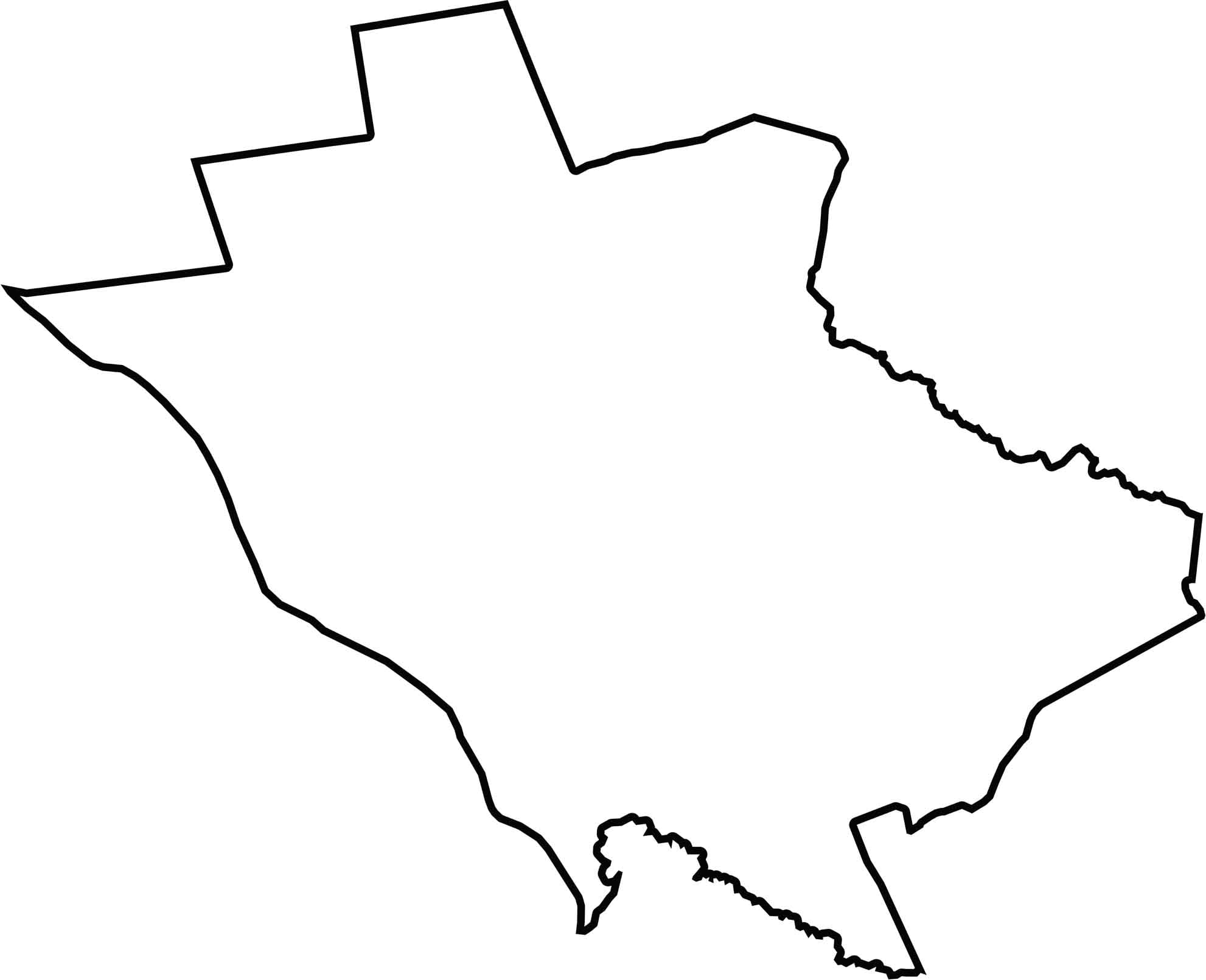
Mercer County has a compact shape that's centered, balanced, and just a bit off-kilter. The western border follows the Delaware River, which separates it from Pennsylvania, while the Millstone River forms the northeast boundary.






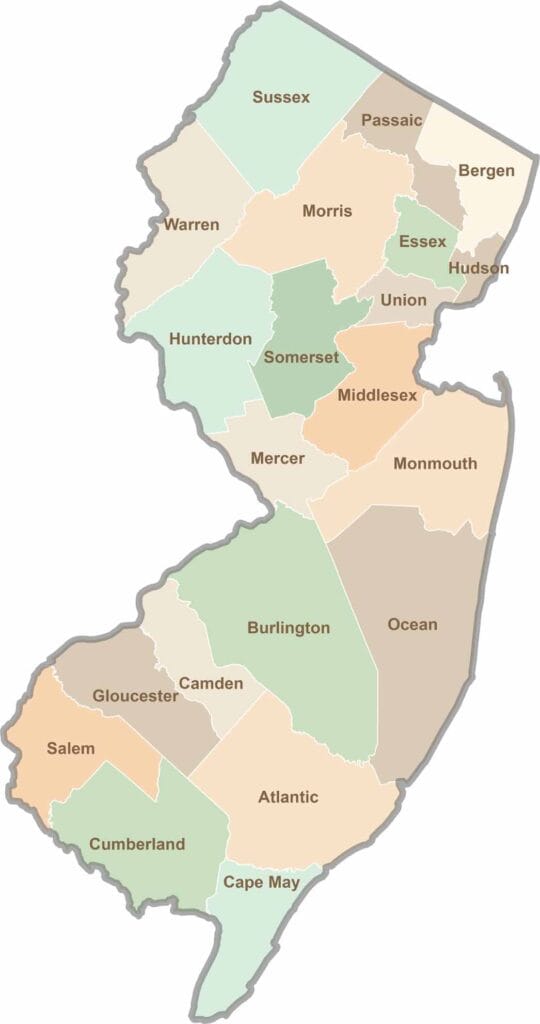
New Jersey packs a lot into its 21 counties, from beach towns and Pine Barrens forests to rolling farmland. Trace colonial history in Hunterdon County or stroll the boardwalk in Ocean County. There's far more here than meets the Turnpike.