
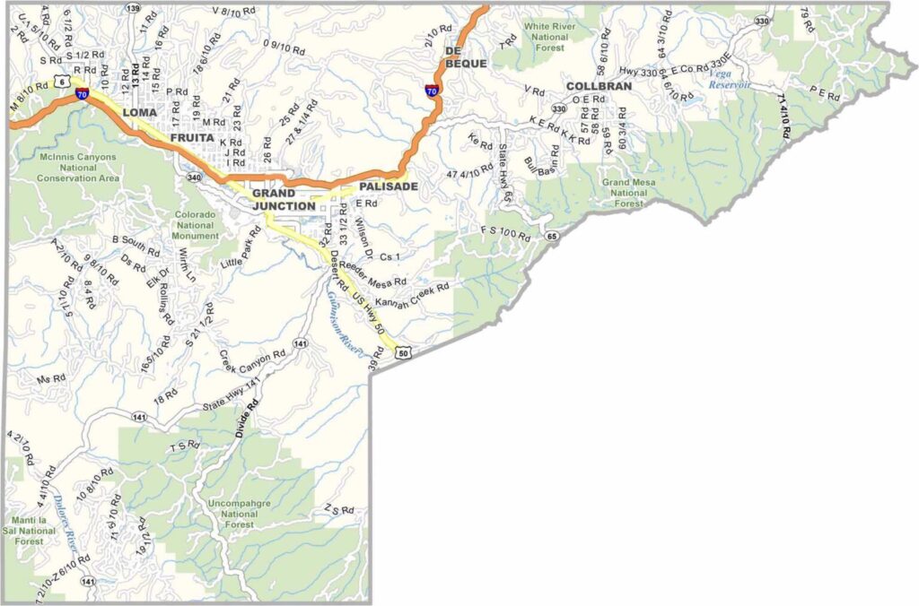
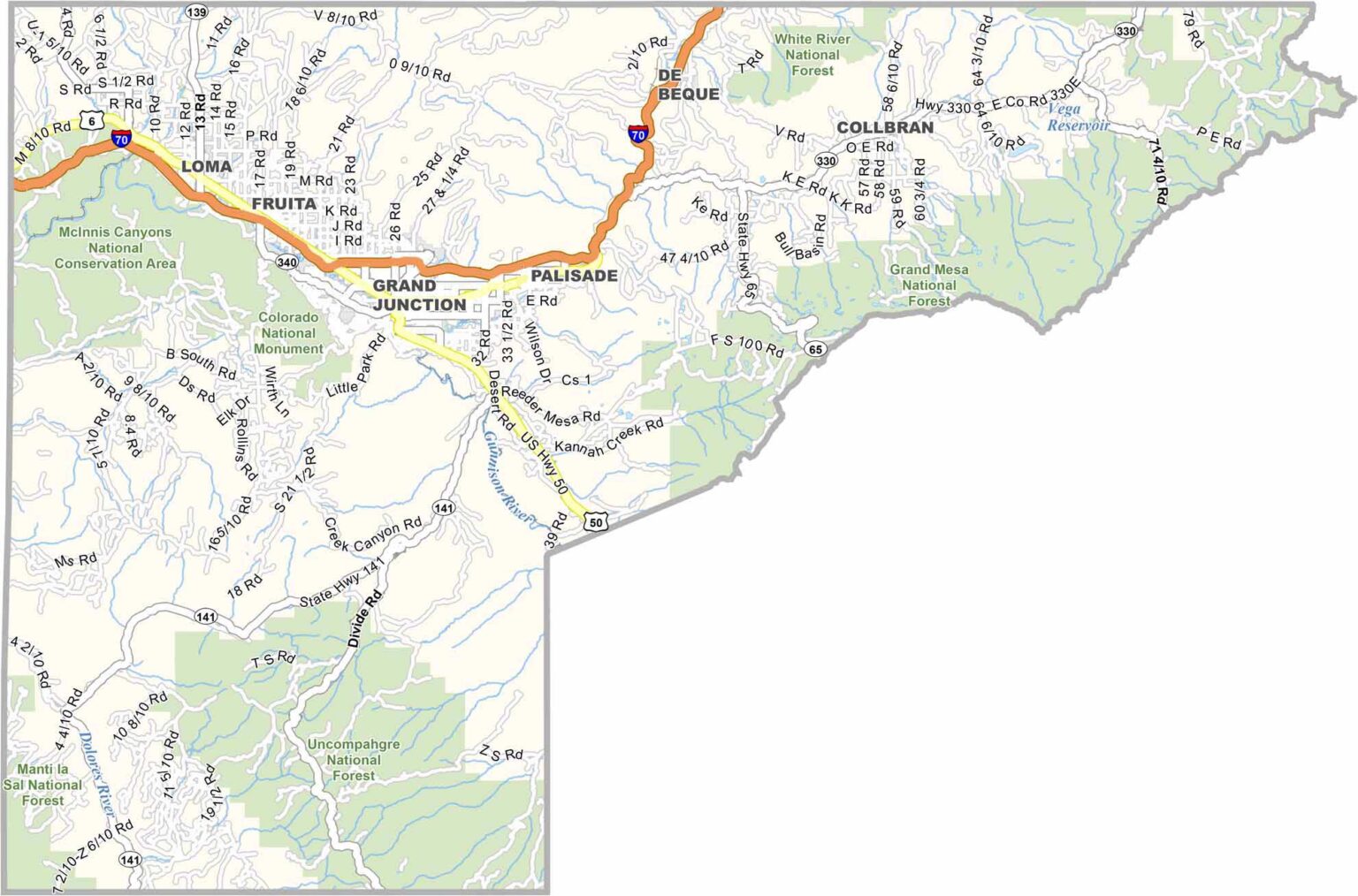
Mesa County is located in western Colorado, with Grand Junction serving as the largest city and a major hub for the Western Slope.
The county is known for spectacular scenery, especially Colorado National Monument, with its dramatic red rock canyons and unusual rock formations.
Nearby Palisade is known for its fruit orchards and vineyards, making it a great place to enjoy wine tasting and the region’s agricultural scenery.
Grand Mesa offers excellent opportunities for hiking and fishing in summer, while winter brings skiing and other snow activities. Together, these landscapes make Mesa County a standout destination on Colorado’s Western Slope.
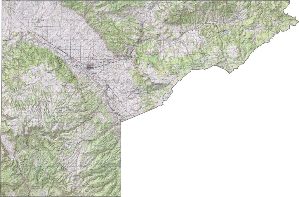
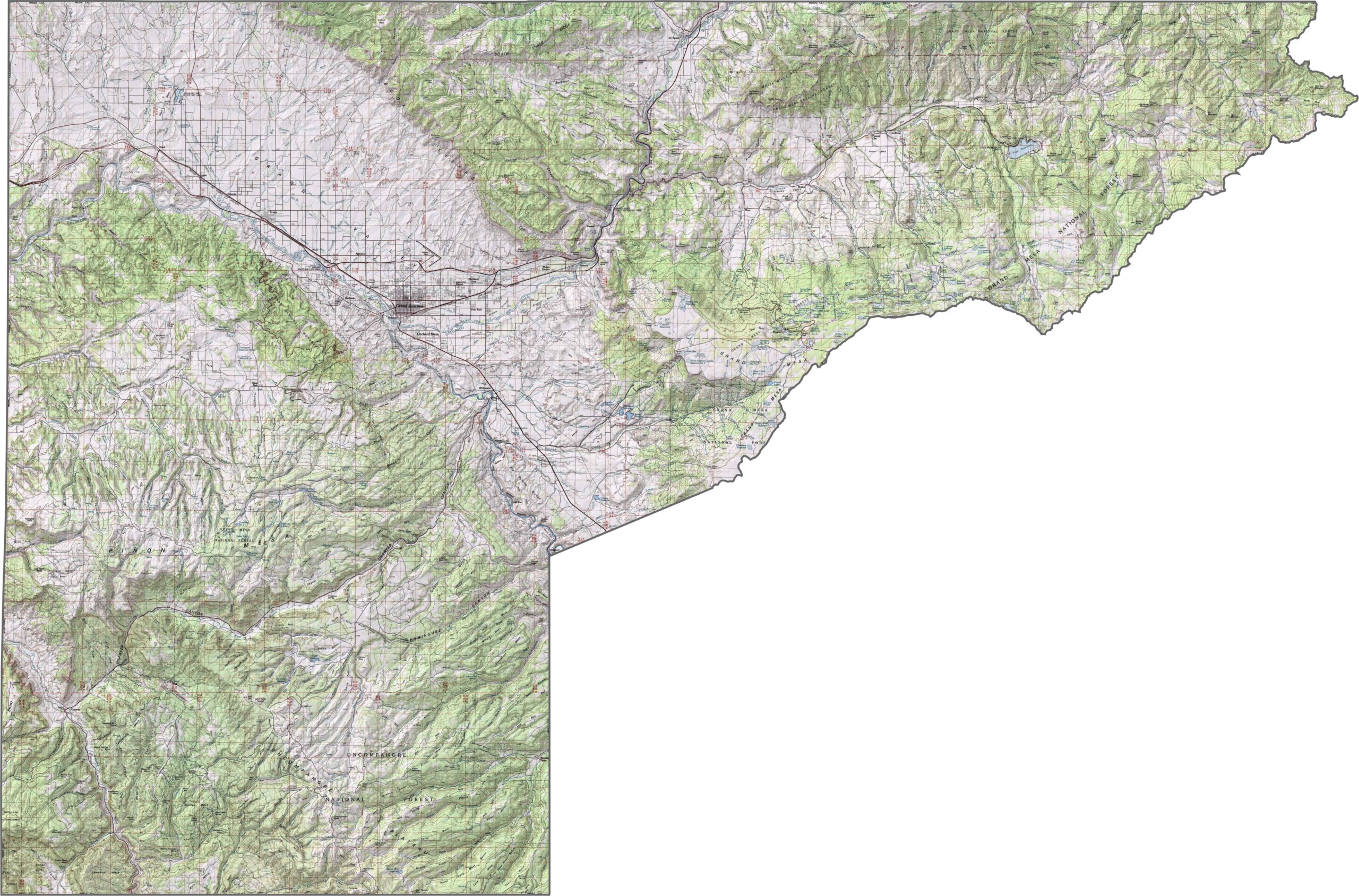
This topographic map highlights Mesa County’s distinctive terrain, including numerous flat-topped mesas and the massive Grand Mesa. Colorado National Monument stands out with its deep canyons, towering cliffs, and dramatic rock formations. Use our zoom tool to explore these unique geological features in greater detail.
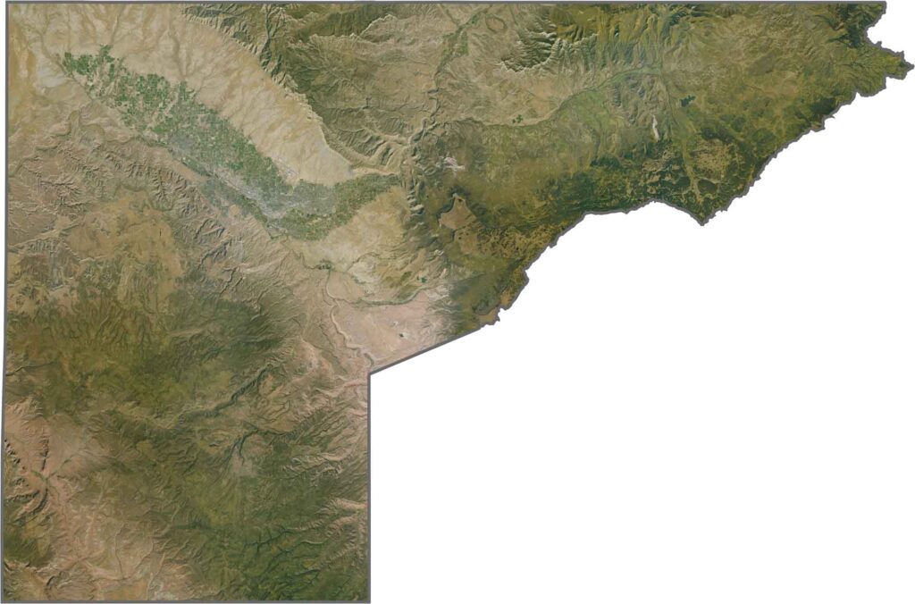
This satellite image reveals a striking contrast between the red canyon country and the dark green forests covering Grand Mesa. The Colorado River creates a lush corridor through the otherwise dry landscape, highlighting the region’s varied geography.
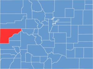
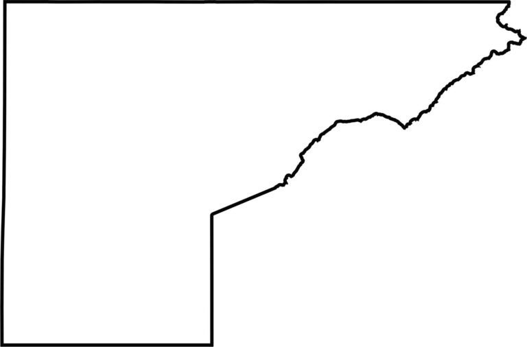
This blank map outlines Mesa County’s irregular shape, with the Colorado River Valley running through the region and Utah forming the western border. The county narrows slightly in the middle where the river cuts through the surrounding terrain, creating a distinctive geographic pattern.








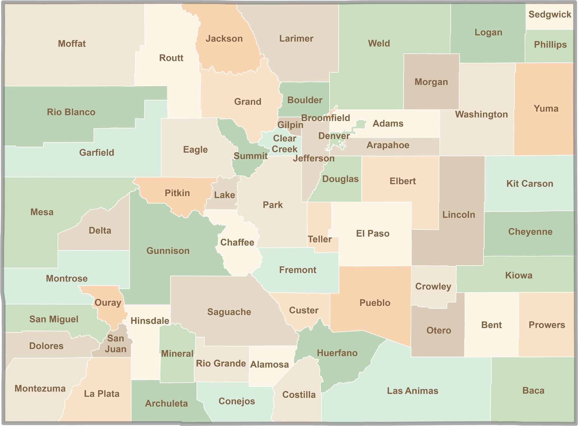
Think you know all 64 counties in Colorado? Our Colorado County Map brings them all together in one place, from the towering Rocky Mountains to the expansive eastern plains. Explore the Centennial State county by county and discover the diverse regions that make Colorado unique.