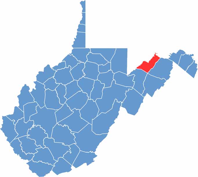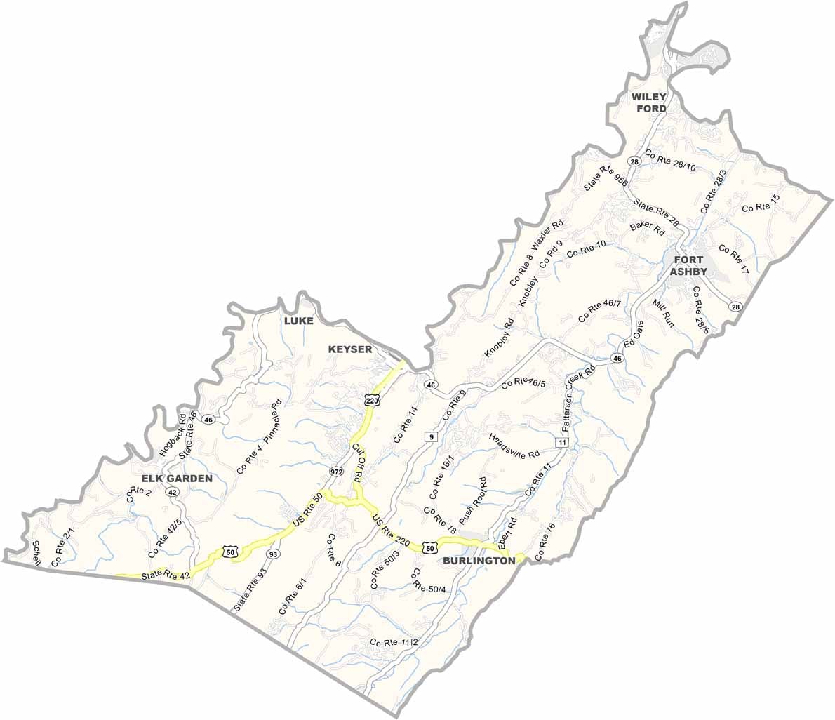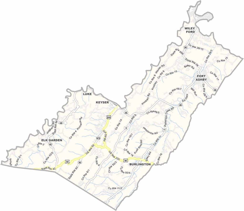
Mineral County sits in West Virginia’s Eastern Panhandle, where rugged mountains meet peaceful valleys and old traditions blend with modern industries. The landscape offers plenty of natural beauty, with forests covering much of the county.
Keyser, the county seat, lies beneath the shadow of New Creek Mountain and serves as the center of local life. The Potomac River forms the county’s northern boundary, creating excellent opportunities for kayaking, fishing, and enjoying the water. Hikers, campers, and nature lovers can explore the many wooded areas and scenic trails throughout the county.
Mineral County also has a deep connection to Civil War history, with several battles and historic sites tied to the region. Today, outdoor recreation and education are important parts of the community. Keyser is home to Potomac State College of West Virginia University, adding a strong educational presence to this scenic Appalachian county.