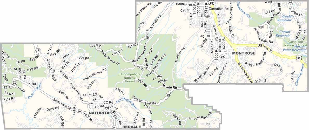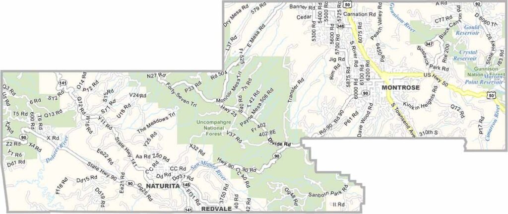
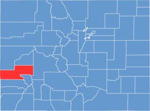
Montrose County, Colorado

Montrose County is located on Colorado’s Western Slope, where agricultural valleys meet rugged mountain landscapes. Montrose serves as the county seat and largest community and provides convenient access to Black Canyon of the Gunnison National Park.

Agriculture is an important part of the local economy, with the region particularly known for its sweet corn. The nearby town of Olathe celebrates this agricultural tradition with the annual Olathe Sweet Corn Festival. The county’s mountain setting also puts outdoor recreation within easy reach, with Telluride located nearby for skiing and other alpine activities.

U.S. Highway 50 runs through Montrose County, connecting Montrose with communities across western Colorado. With a population of around 44,000, the county includes smaller communities such as Olathe and Naturita and offers a mix of farmland, mountain scenery, and outdoor adventure.

CategoryDetails
County NameMontrose County
County SeatMontrose
EtymologyNamed after the town of Montrose, which was likely inspired by the novel “A Legend of Montrose” by Sir Walter Scott
Cities, Towns, and CommunitiesMontrose, Olathe, Nucla, Naturita, Paradox, Bedrock, Redvale
Interstates and HighwaysU.S. Highway 50, U.S. Highway 550, State Highway 90, State Highway 145
FIPS Code08-085
Total Area (Land and Water)2,247 square miles (land: 2,246 sq mi, water: 1 sq mi)
Adjacent Counties (and Direction)Mesa County (North), Delta County (Northeast), Gunnison County (East), Ouray County (Southeast), San Miguel County (South), San Juan County, Utah (West)
Time ZoneMountain Time Zone (MST/MDT)
PopulationApproximately 44,000
StateColorado
Coordinates38.4783° N, 107.8762° W
Major LandmarksBlack Canyon of the Gunnison National Park, Curecanti National Recreation Area, Uncompahgre National Forest
Scroll to Top