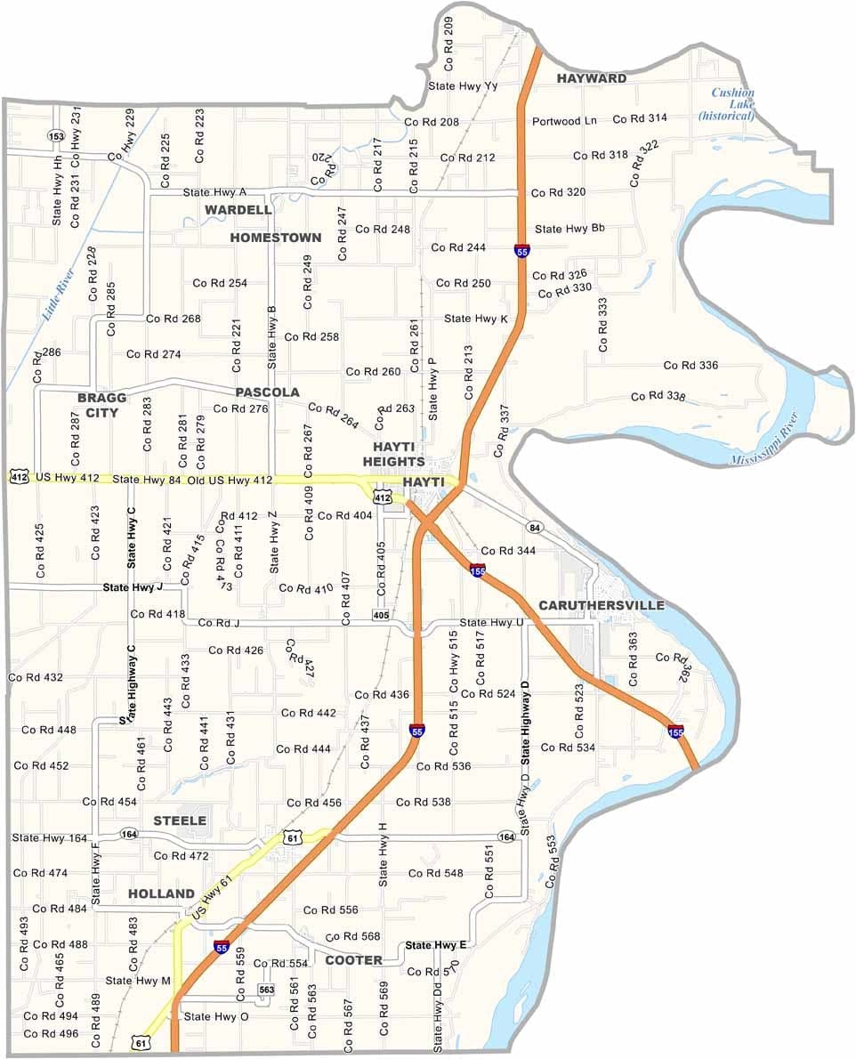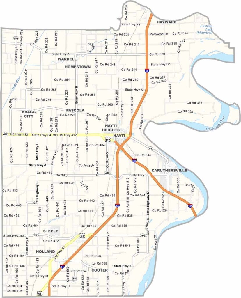
Pemiscot County, Missouri

Pemiscot County sits in Missouri’s Bootheel, known for its flat landscape and lush green fields in summer. Cotton farms stretch as far as the eye can see.

The Mississippi River forms the eastern border, carrying barges along its busy waters. Caruthersville, the county seat, blends small-town charm with riverboat gaming. Farming thrives here thanks to the region’s rich soil.

Floods have helped shape both the land and the people over the years. Residents are known for their resilience, overcoming challenges while maintaining a mix of Southern hospitality and Midwestern hard work.
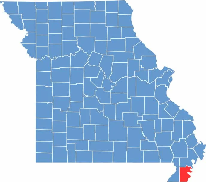

Printable Pemiscot County Missouri location map showing county location and boundaries
Category Details
County Name Pemiscot County
County Seat Caruthersville
Cities, Towns, and Communities Caruthersville, Hayti, Steele, Bragg City, Holland, Deering, Wardell, Pascola
Interstates and Highways I-55, US 61, US 412, MO 84
Etymology Named after a Native American word meaning “liquid mud” due to the swampy area
FIPS Code 29-155
Total Area (Land and Water) 513 square miles (Land: 493 sq mi, Water: 20 sq mi)
Time Zone Central Time Zone (CT)
State Missouri
Coordinates 36.2560° N, 89.8283° W
Major Landmarks Lady Luck Casino Caruthersville, Reelfoot National Wildlife Refuge, Caruthersville Public Library
Adjacent Counties (and Direction) New Madrid County (North), Lake County, Tennessee (Northeast), Dyer County, Tennessee (Southeast), Mississippi County, Arkansas (South), Dunklin County (West)
Population Approximately 15,000
Scroll to Top