Perry County, Missouri

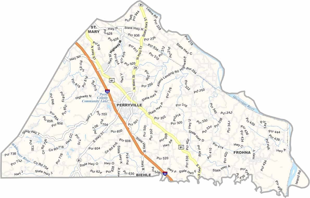
Perry County lies in southeast Missouri, about an hour south of St. Louis. The Mississippi River marks its eastern border, and Perryville, the county seat, features a charming town square with a gazebo.

French settlers arrived here in the early 1700s. Later, the county was named after Oliver Hazard Perry, a hero of the War of 1812. Residents look forward to the annual Mayfest celebration..

Rolling hills and farmland stretch across the county, with plenty of places for fishing and hunting. Today, Perry County is recognized for its strong German heritage and excellent wineries.
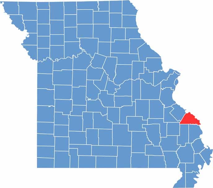

Perry-Location-Map-Missouri
Category Details
County Name Perry County
County Seat Perryville
Cities, Towns, and Communities Perryville, Frohna, Altenburg, Biehle, Longtown, Brewer, Lithium
Interstates and Highways I-55, US 61, MO 51, MO 32
Etymology Named after Oliver Hazard Perry, an American naval commander
FIPS Code 29-157
Total Area (Land and Water) 484 square miles (Land: 474 sq mi, Water: 10 sq mi)
Time Zone Central Time Zone (CT)
State Missouri
Coordinates 37.7220° N, 89.8612° W
Population Approximately 19,000
Major Landmarks Perry County Courthouse, Tower Rock Natural Area, Saxon Lutheran Memorial
Adjacent Counties (and Direction) Randolph County, Illinois (North), Jackson County, Illinois (Northeast), Union County, Illinois (East), Cape Girardeau County (Southeast), Bollinger County (Southwest), Madison County (Southwest), St. Francois County (Northwest), Ste. Genevieve County (Northwest)
Scroll to Top