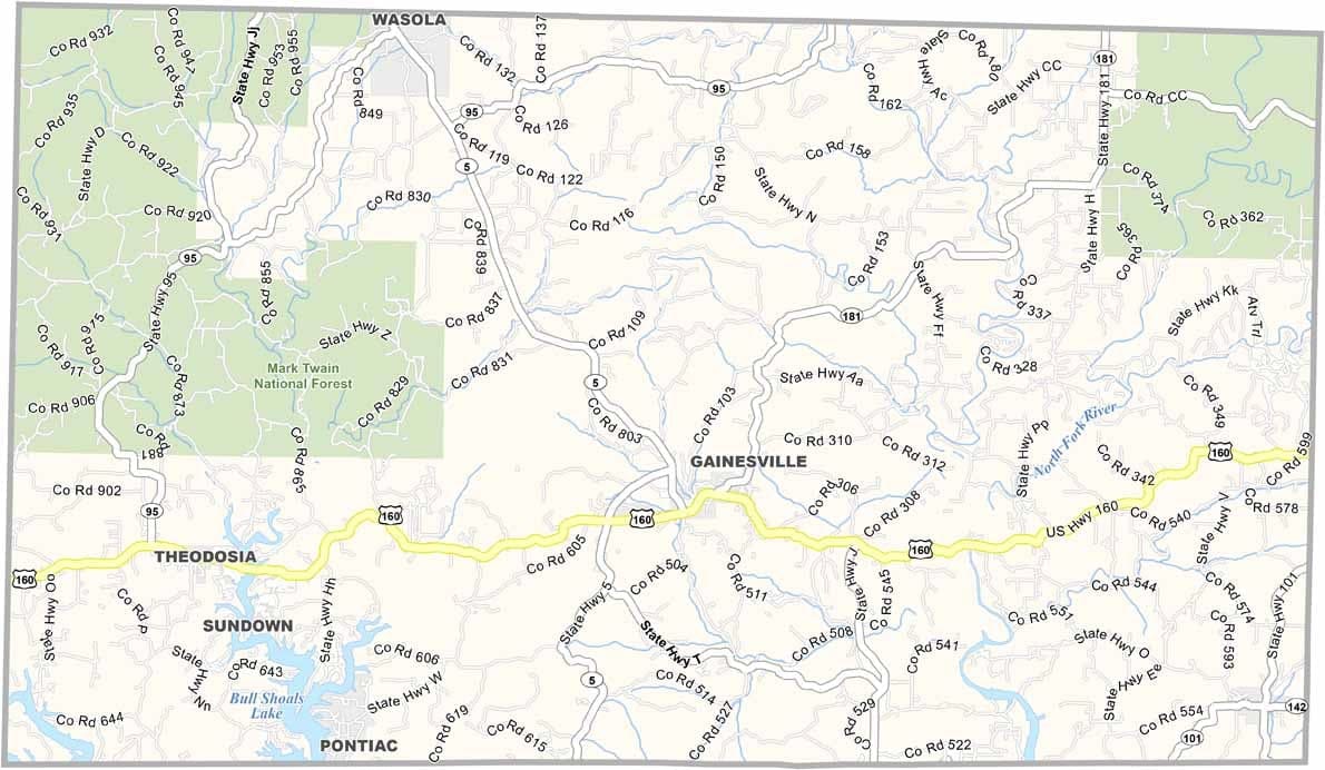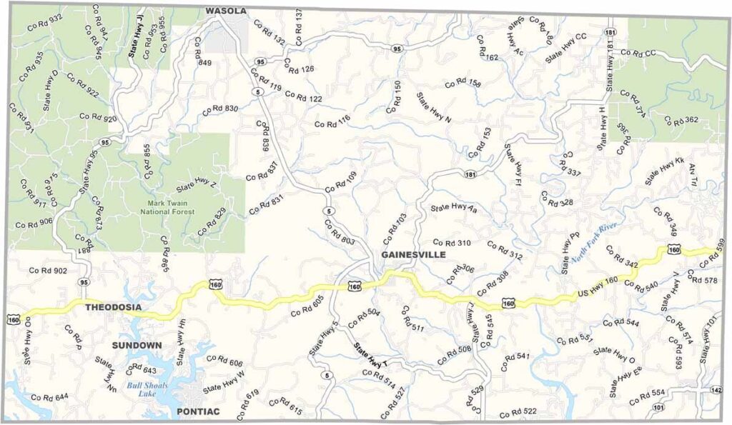
Ozark County, Missouri

Ozark County lies in south-central Missouri along the Arkansas border. Gainesville serves as the county seat, and the region showcases the rugged beauty of the Ozarks.

The county is a haven for outdoor enthusiasts. Clear springs and winding rivers flow through the hills, making fishing, hiking, and camping popular activities.

Much of the northwest is covered by the Mark Twain National Forest. Residents are known for their friendly hospitality and home-style cooking, while autumn paints the forests with vibrant colors.
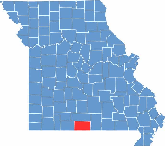

Printable Ozark County Missouri location map showing county location and boundaries
Category Details
County Name Ozark County
County Seat Gainesville
Cities, Towns, and Communities Gainesville, Theodosia, Thornfield, Bakersfield, Zanoni, Wasola, Dora
Interstates and Highways US 160, MO 5, MO 95
Population Approximately 9,000
FIPS Code 29-153
Total Area (Land and Water) 755 square miles (Land: 745 sq mi, Water: 10 sq mi)
Time Zone Central Time Zone (CT)
State Missouri
Coordinates 36.6122° N, 92.4323° W
Etymology Named after the Ozark Mountains, which are located in the region
Major Landmarks Bull Shoals Lake, Caney Mountain Conservation Area, Hodgson Mill, Dawt Mill
Adjacent Counties (and Direction) Douglas County (North), Howell County (East), Fulton County, Arkansas (Southeast), Baxter County, Arkansas (South), Marion County, Arkansas (Southwest), Taney County (West)
Scroll to Top