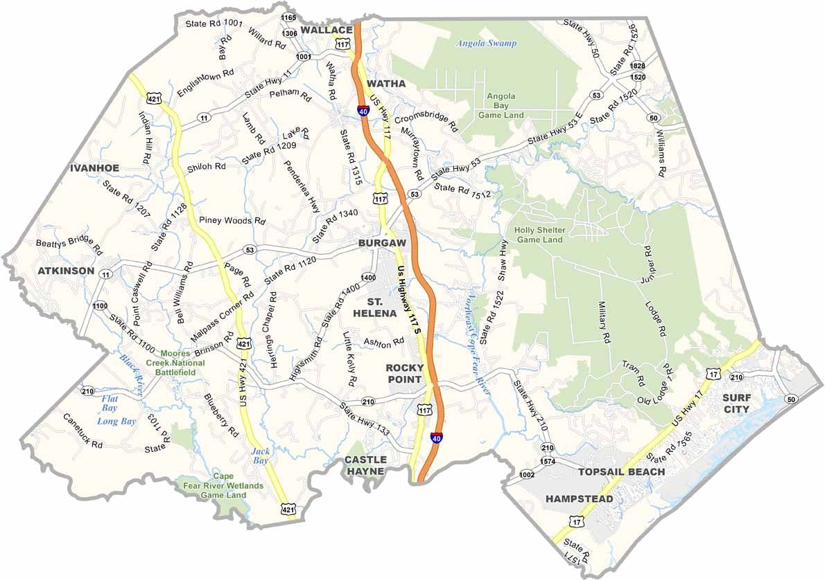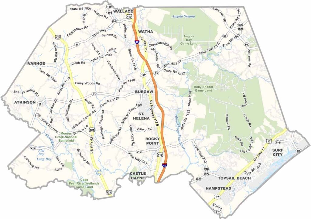
Pender County Map, North Carolina

Pender County, North Carolina

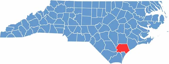
Pender County sits in the southeastern part of North Carolina, bordering the Atlantic Ocean. It’s a place of contrasts, with pristine beaches attracting tourists while inland areas boast fertile farmland.

Burgaw, the county seat, is situated right in the center of the county. Locals take pride in their seafood, and fresh catches are a staple here. Visitors love exploring the area’s Civil War sites.

The county has seen steady growth in recent years, with new residents drawn to its natural beauty and laid-back lifestyle. Despite changes, Pender County maintains its cool coastal character.

CategoryDetails
County NamePender County
County SeatBurgaw
EtymologyNamed after William Dorsey Pender, a Confederate soldier
Cities, Towns, and CommunitiesBurgaw, Hampstead, Rocky Point, Surf City
Interstates and HighwaysInterstate 40, U.S. Route 17
FIPS Code37-141
Total Area933 square miles (land and water)
Adjacent CountiesDuplin County (North), Onslow County (Northeast), New Hanover County (South), Brunswick County (South), Columbus County (Southwest), Bladen County (West), Sampson County (Northwest)
Time ZoneEastern Time Zone
StateNorth Carolina
Coordinates34.5491° N, 77.9247° W
Major LandmarksTopsail Island, Pender County Museum
PopulationApproximately 60,000
Scroll to Top