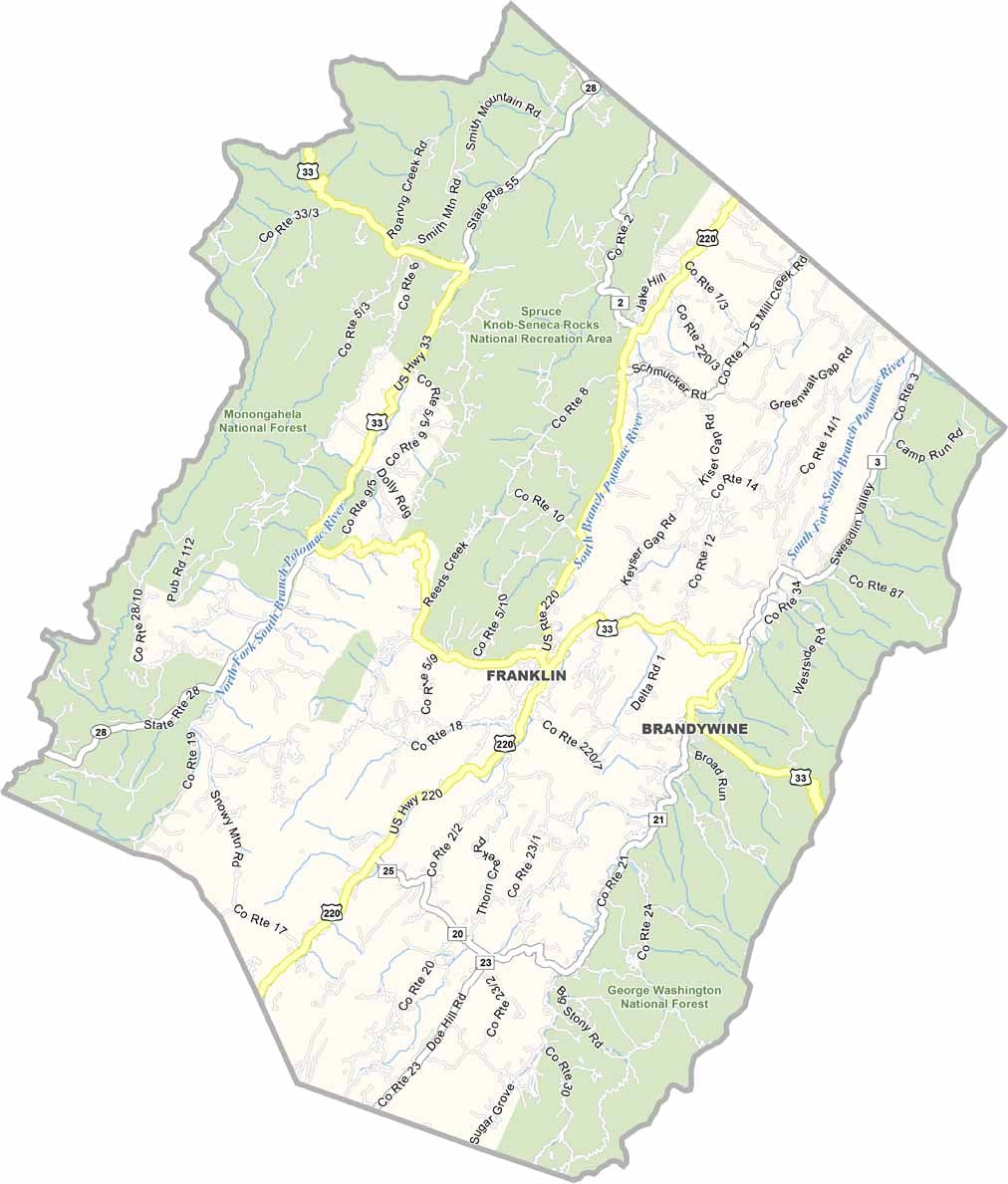
Pendleton County, West Virginia

The rugged beauty of the Appalachian Mountains is on full display in Pendleton County. Located in eastern West Virginia along the Virginia border, the county is a peaceful place where nature takes center stage.

Farming remains an important part of life here, with many families continuing traditions passed down through generations. The quiet countryside is also home to a wide variety of wildlife, and lucky visitors may spot animals while exploring the mountains and forests.

Hikers and outdoor enthusiasts come for the pristine woodlands, winding rivers, and sweeping mountain views. But Pendleton County is about more than scenery. Residents take great pride in their Appalachian heritage, keeping local traditions alive through music, crafts, storytelling, and community gatherings.

Printable Stone County Missouri location map showing county location and boundaries
CategoryDetails
County NamePendleton County
County SeatFranklin
Cities, Towns, and CommunitiesFranklin, Circleville, Brandywine, Seneca Rocks, Upper Tract
Interstates and HighwaysUS-33, WV-28, WV-55
EtymologyNamed after Edmund Pendleton, a Virginia statesman
FIPS Code54-071
Total Area (Land and Water)698 sq mi (Land: 696 sq mi; Water: 2 sq mi)
Time ZoneEastern Time Zone (ET)
StateWest Virginia
Coordinates38.7017° N, 79.3420° W
Major LandmarksSeneca Rocks, Spruce Knob, Smoke Hole Canyon, George Washington National Forest
Adjacent Counties (and Direction) Grant County (North), Hardy County (Northeast), Rockingham County, Virginia (East), Augusta County, Virginia (South), Highland County, Virginia (South), Pocahontas County (Southwest), Randolph County (West)
PopulationApproximately 7,000
Scroll to Top