
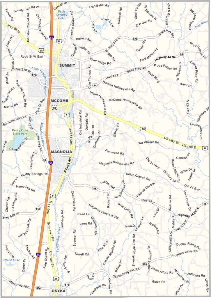
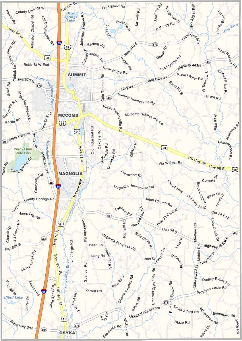
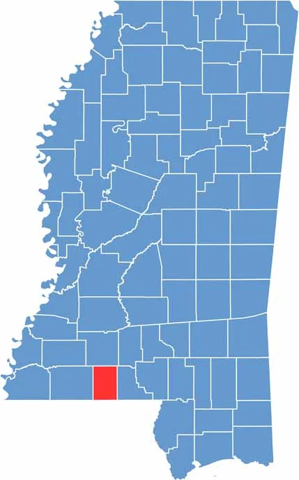
Down in the southwestern corner of Mississippi lies Pike County, right on the Louisiana border and about an hour and a half south of Jackson.
The county seat, Magnolia, lives up to its flowery name. Pike County has been around since 1815, named after Zebulon Pike, the same guy Pike's Peak is named after.
You'll find the Bogue Chitto River cutting through the county, which is known for its excellent bass fishing and hunting. It's also home to Percy Quin State Park, great for hiking and camping.

Mississippi Counties
Rankin County Map Download Mississippi – Outline Map and Blank Map

Mississippi Counties
Madison County Map Download Mississippi – Outline Map and Blank Map

Mississippi Counties
Jackson County Map Download Mississippi – Outline Map and Blank Map

Mississippi Counties
Hinds County Map Download Mississippi – Outline Map and Blank Map

Mississippi Counties
Harrison County Map Download Mississippi – Outline Map and Blank Map

Mississippi Counties