
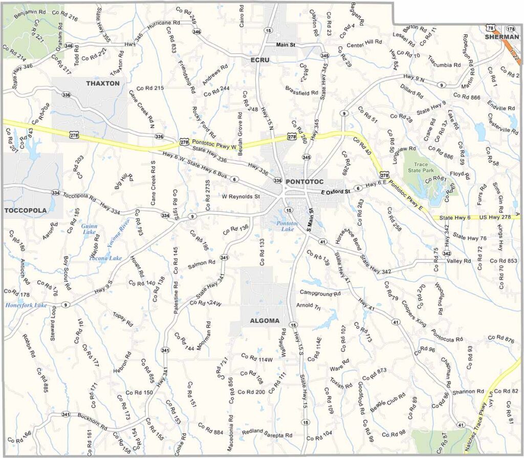
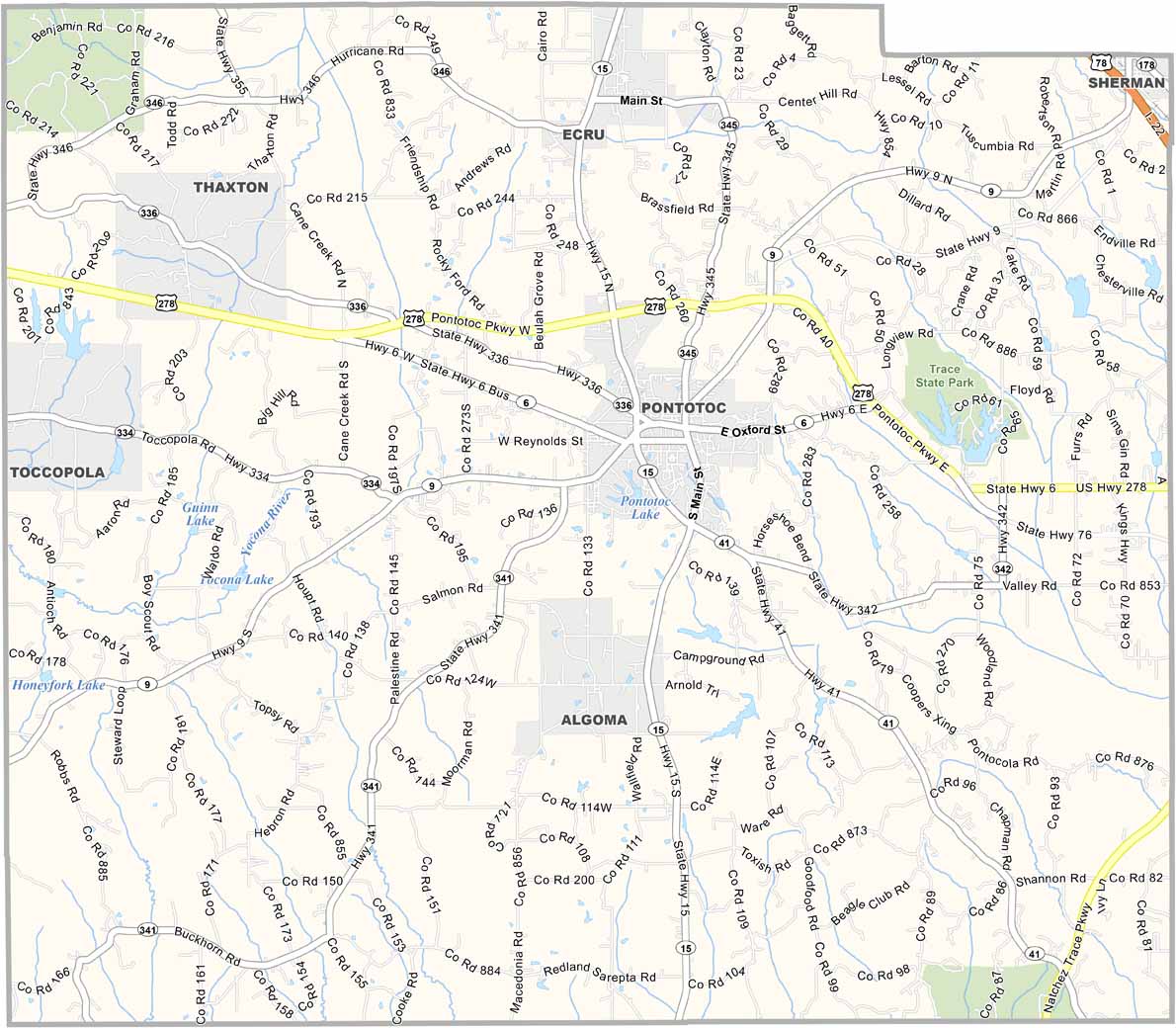
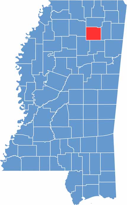
Pontotoc County lies deep in northeast Mississippi, about halfway between Memphis and Birmingham, making it a perfect pit stop for road-trippers.
The county seat, also named Pontotoc, sits in the center of the county. People here like to head to Trace State Park for fishing and hiking.
The name "Pontotoc" comes from a Chickasaw word meaning "land of hanging grapes." You can also explore battle sites and old cemeteries scattered throughout the county.

Mississippi Counties
Rankin County Map Download Mississippi – Outline Map and Blank Map

Mississippi Counties
Madison County Map Download Mississippi – Outline Map and Blank Map

Mississippi Counties
Jackson County Map Download Mississippi – Outline Map and Blank Map

Mississippi Counties
Hinds County Map Download Mississippi – Outline Map and Blank Map

Mississippi Counties
Harrison County Map Download Mississippi – Outline Map and Blank Map

Mississippi Counties