
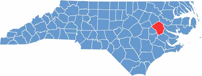
Pitt County is situated in the eastern part of North Carolina. It's home to East Carolina University, the fourth largest university in the state.
Greenville, the county seat, is a cultural and economic powerhouse. The city punches above its weight in terms of dining and entertainment options, and healthcare is a major industry here.
Agriculture still plays a big role in the local economy, and tobacco barns and farms remind visitors of the area's rural roots. Pitt County's flat terrain is perfect for cycling, while the Tar River offers opportunities for kayaking and fishing.
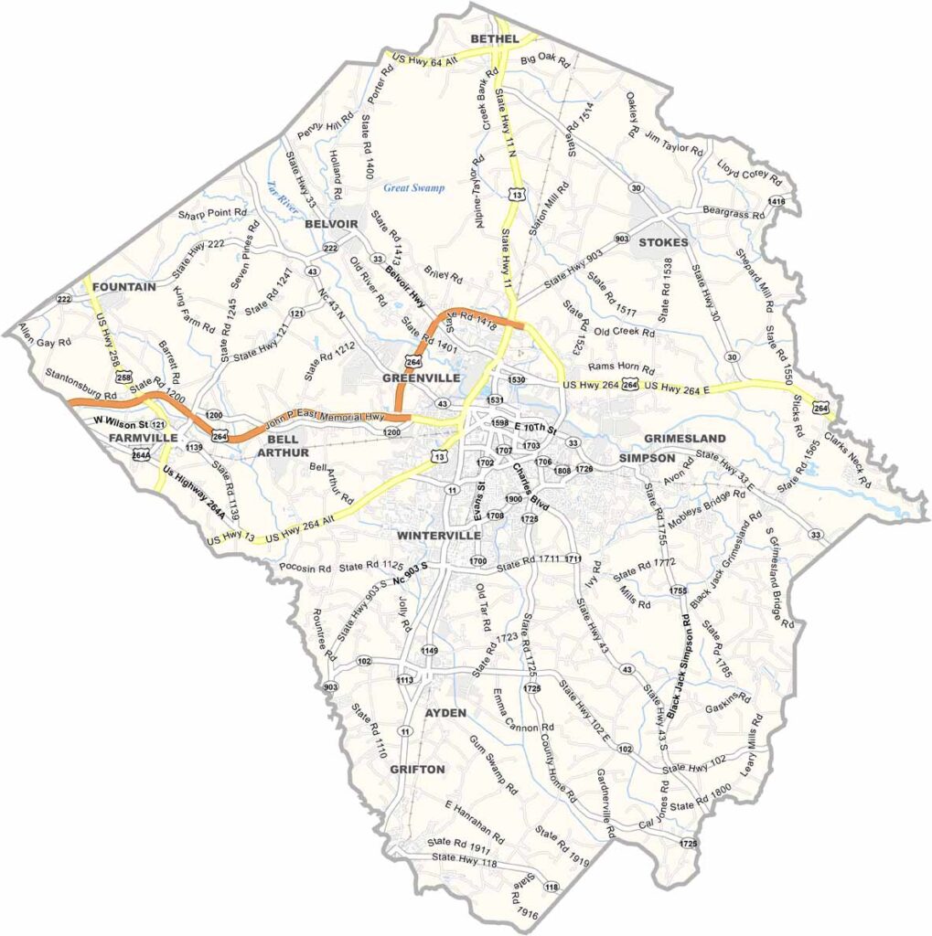
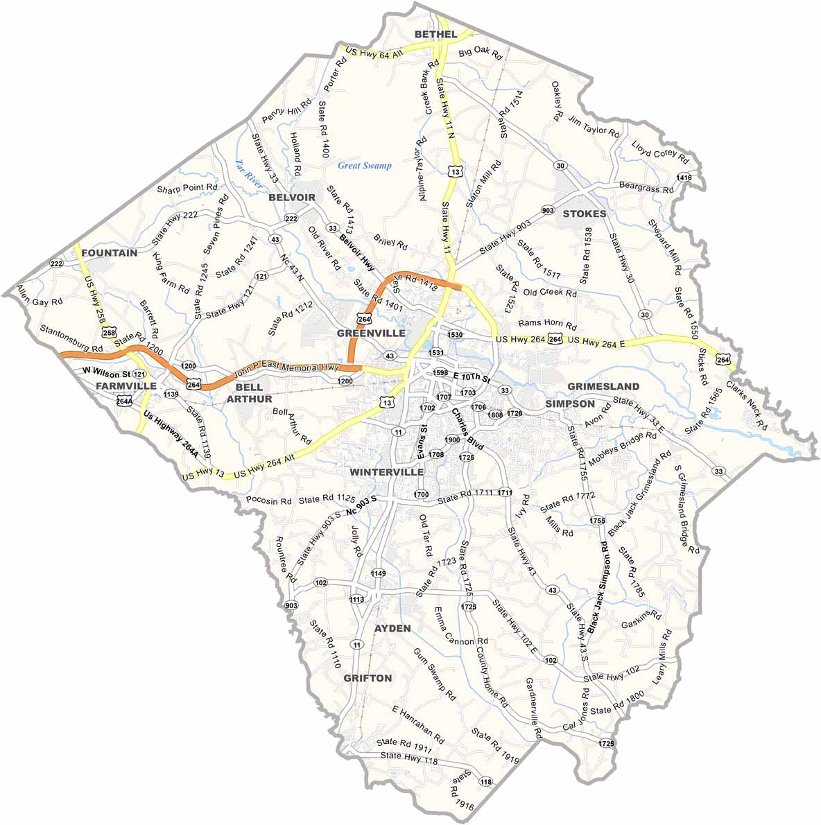
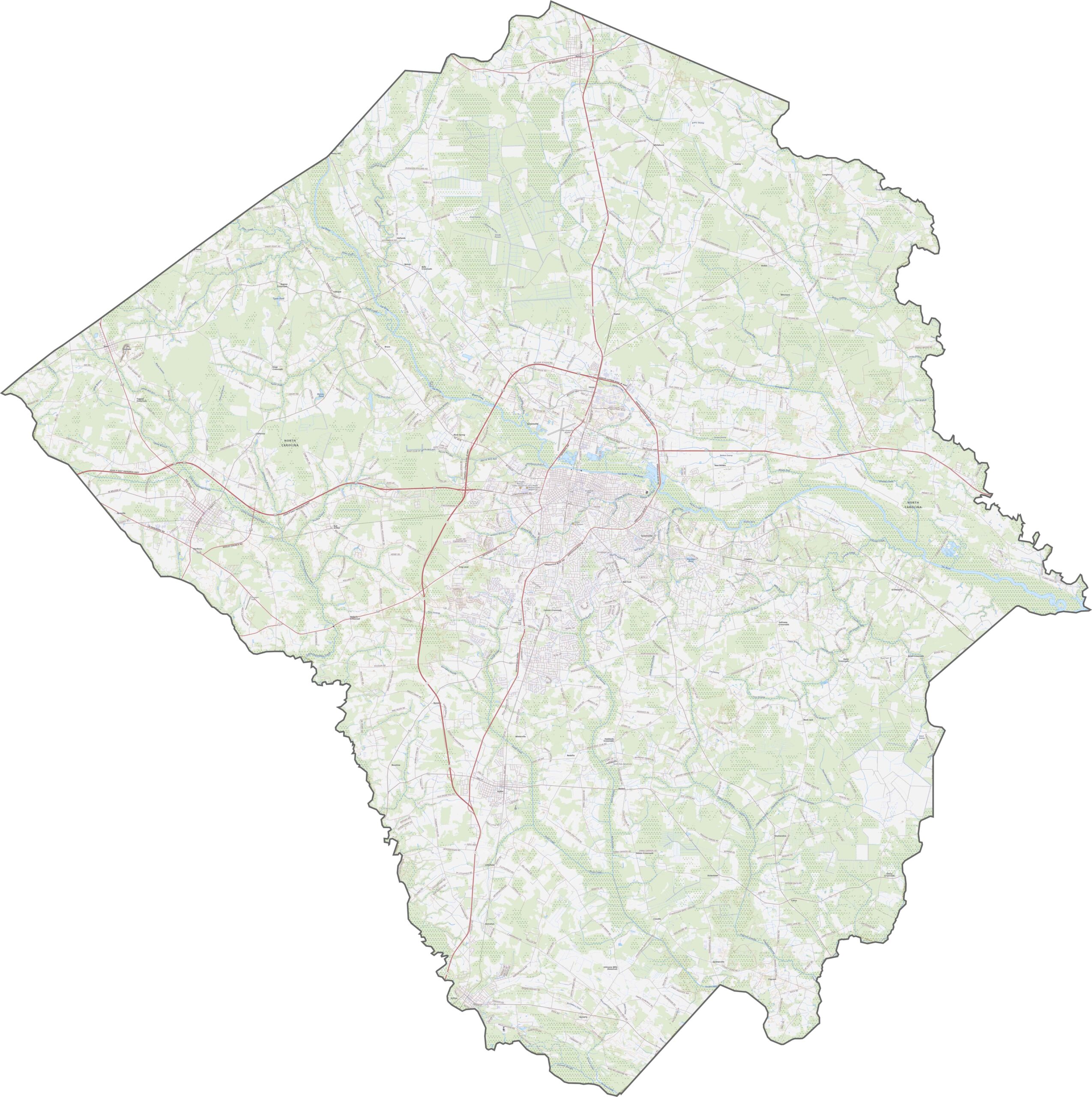
Greenville sits at the center of several well-traveled routes. U.S. Route 264 sweeps across the top and feeds into Greenville. Though there's no interstate yet, the U.S. Route 13 Bypass and NC 11 help keep traffic moving. Zoom in on our map to help get around the city.
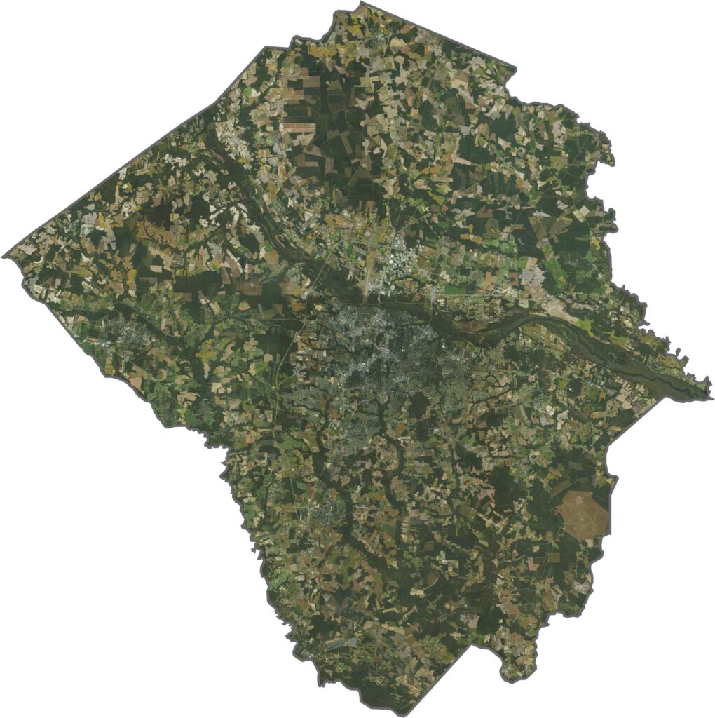
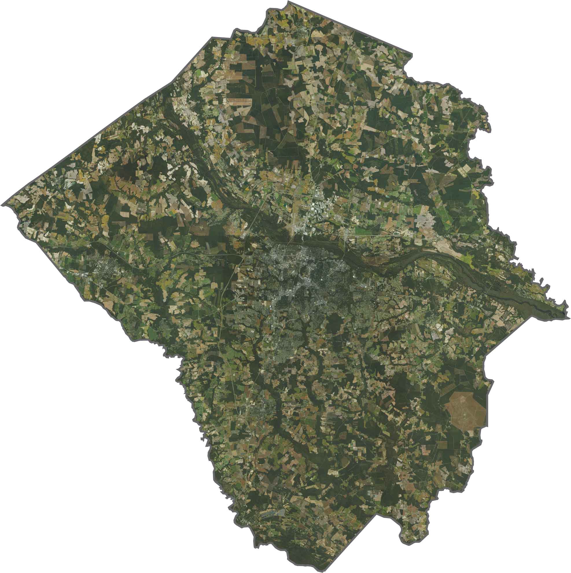
Greenville lights up the center, boxed in by roads and suburbs. Outside the city, agricultural fields dominate. Farm plots line up neatly, and patches of forest break the grid. The Tar River cuts a path across the map, muddy and bold.
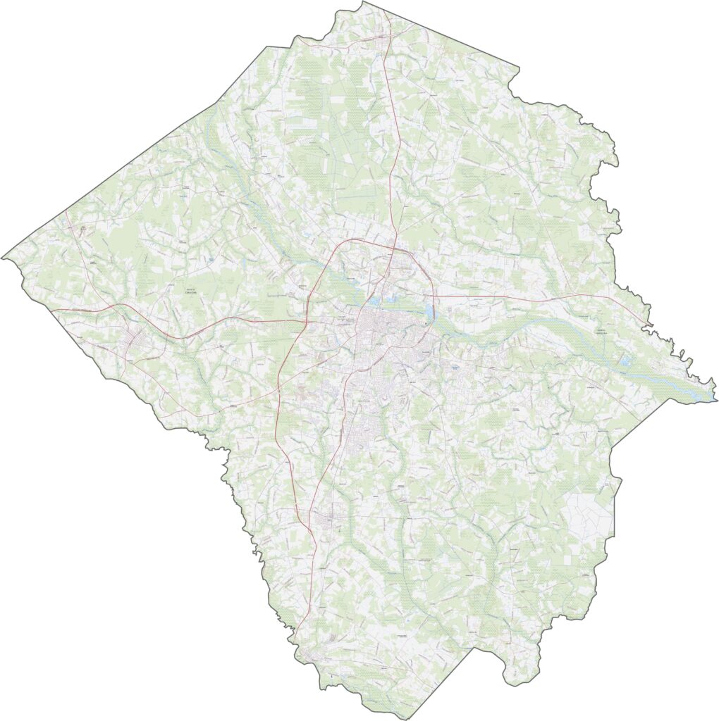
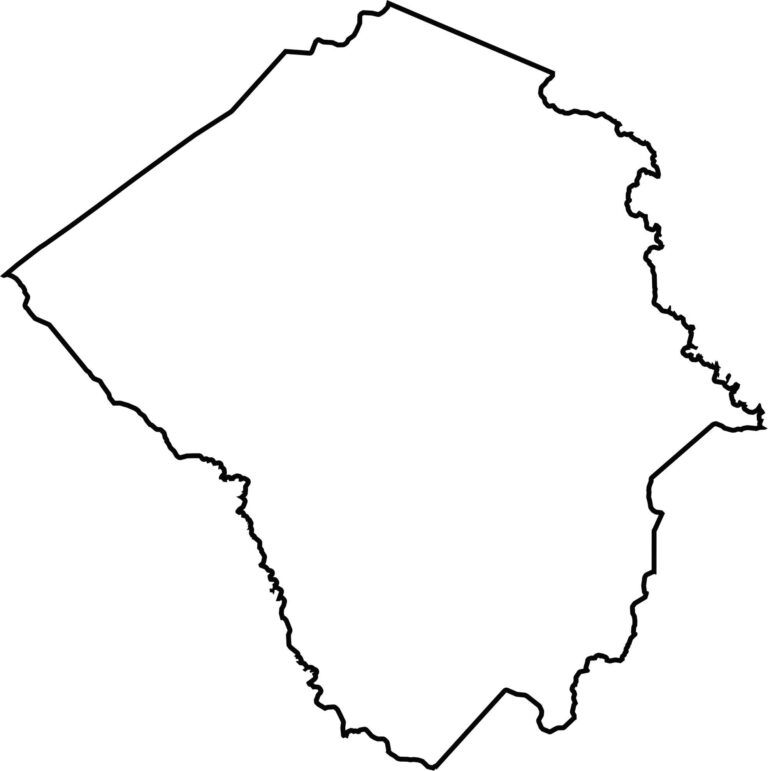
Pitt County has a rounded shape with a couple of sharp corners. While the Contentnea River forms the southwestern border, Tranters Creek shapes the eastern boundary. Pitt County does not border another state.








North Carolina’s 100 counties each have their own personality. Some embrace beach life, while others are known for barbecue or bluegrass. Sometimes, you’ll find all three in one place. Across the state, there are waterfalls, farmland, and NASCAR.