Pocahontas County, West Virginia

Pocahontas County is an outdoor enthusiast’s dream, surrounded by the rugged beauty of the Monongahela National Forest. It’s known as “Nature’s Mountain Playground,” and the nickname fits perfectly. Located in eastern West Virginia, the county is filled with towering mountains, deep forests, and wide-open spaces.

Pocahontas is the third-largest county in the state by area, but its population is relatively small. That means plenty of room to explore without the crowds. The Greenbrier River Trail stretches through the county, offering great opportunities for biking, hiking, fishing, or simply floating along the river.

When winter arrives, Snowshoe Mountain Resort attracts skiers and snowboarders from across the region. But one of the county’s most fascinating attractions is the Green Bank Observatory.

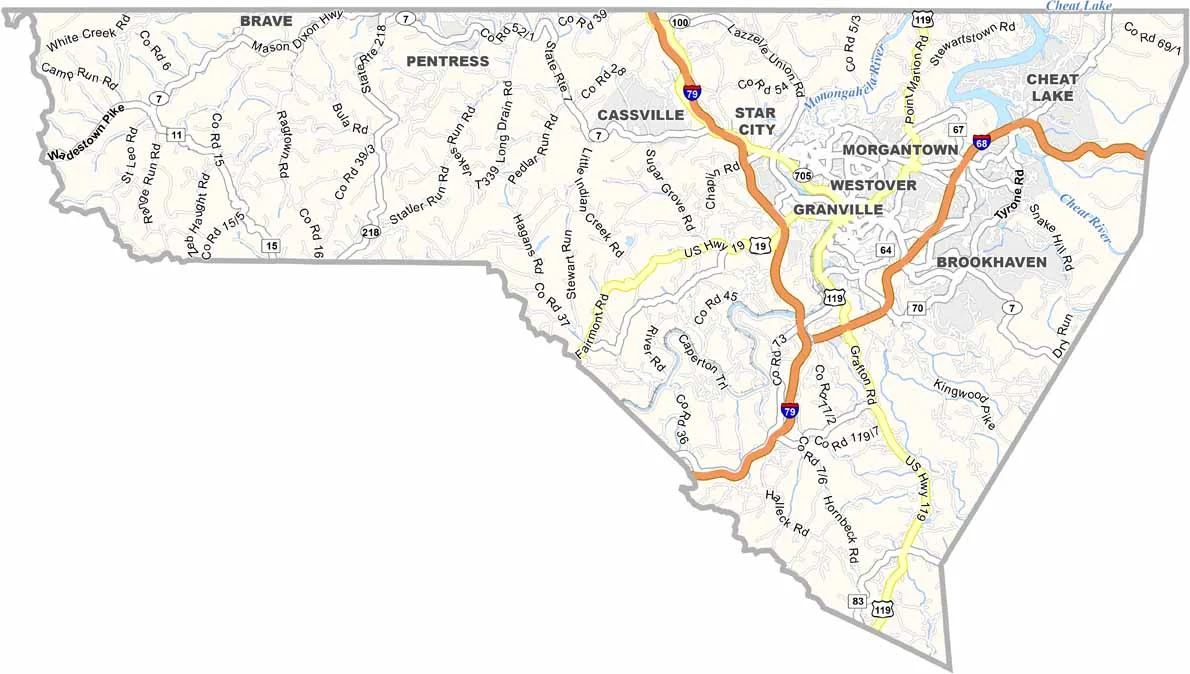
Printable Stone County Missouri location map showing county location and boundaries
CategoryDetails
County NamePocahontas County
County SeatMarlinton
Cities, Towns, and CommunitiesMarlinton, Durbin, Hillsboro, Green Bank, Cass
Interstates and HighwaysUS-219, WV-28, WV-39
EtymologyNamed after the Native American Princess Pocahontas
FIPS Code54-075
Total Area (Land and Water)942 sq mi (Land: 940 sq mi; Water: 2 sq mi)
Time ZoneEastern Time Zone (ET)
StateWest Virginia
Coordinates38.3103° N, 80.0088° W
Major LandmarksSnowshoe Mountain Resort, Green Bank Observatory, Cranberry Glades Botanical Area
Adjacent Counties (and Direction) Randolph County (North), Highland County, Virginia (East), Bath County, Virginia (Southeast), Greenbrier County (Southwest), Webster County (Northwest)
PopulationApproximately 8,000
Scroll to Top