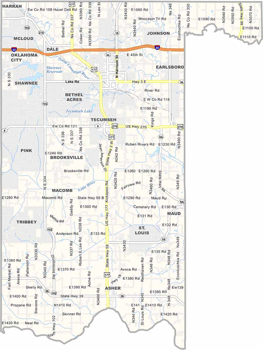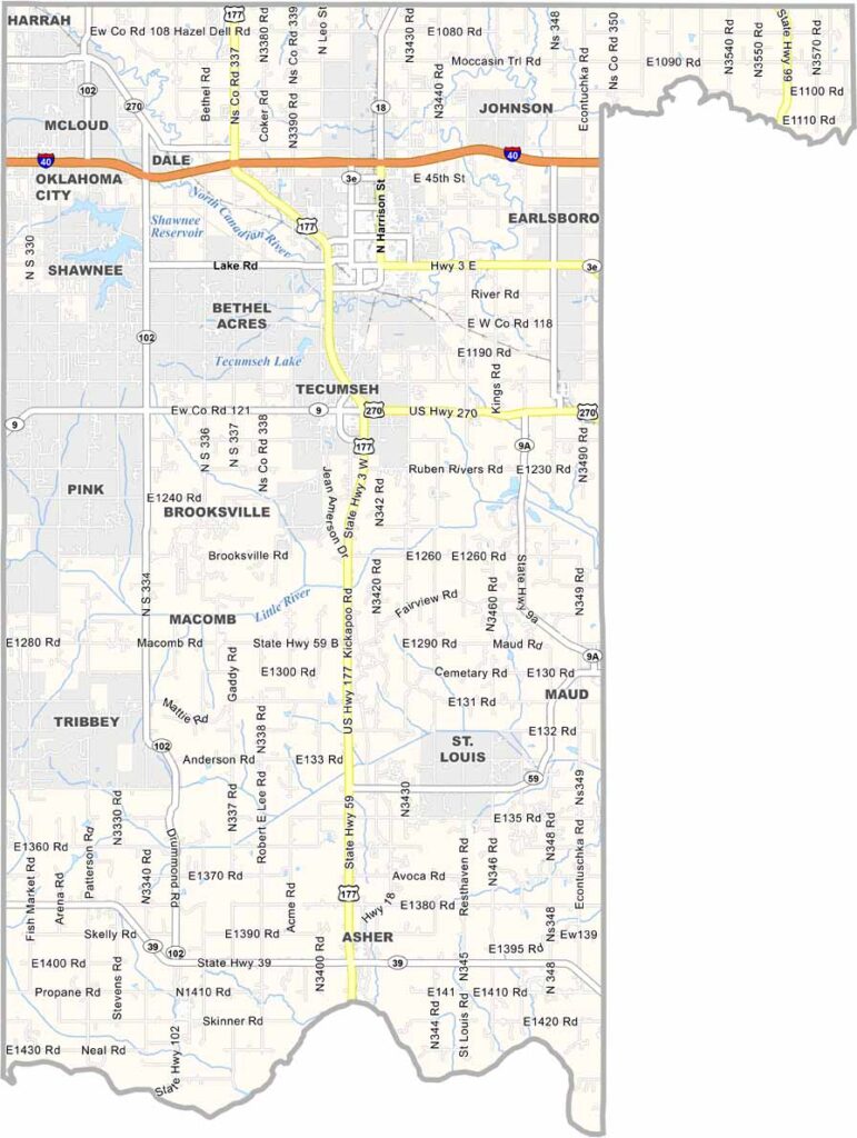
Pottawatomie County Map, Oklahoma

Pottawatomie County, Oklahoma

Pottawatomie County sits just east of Oklahoma City. Shawnee is both the largest city and the county seat. It has a charming downtown with several interesting historic buildings.

The county is named after the Pottawatomie Native American tribe. The landscape is mostly flat, with occasional rolling hills adding some variety.

Agriculture is a major part of the local economy. Drive around the county and you’ll see fields stretching for miles. But it’s not all farms and ranches—a casino resort also draws tourists to the area.
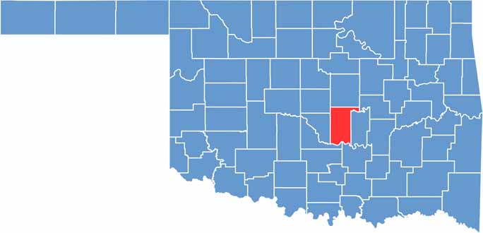

Location map of Pottawatomie County, Oklahoma
CategoryDetails
County NamePottawatomie County
County SeatShawnee
EtymologyNamed after the Potawatomi Native American tribe
Cities, Towns, and CommunitiesShawnee, Tecumseh, McLoud, Earlsboro, Bethel Acres, Macomb, Pink, Asher
Interstates and HighwaysInterstate 40, U.S. Highway 177, State Highway 3, State Highway 9
FIPS Code40-125
Total Area (Land and Water)793 square miles (788 sq mi land, 5 sq mi water)
Adjacent Counties (and Direction)Lincoln County (North), Okfuskee County (Northeast), Seminole County (East), Pontotoc County (Southeast), McClain County (Southwest), Cleveland County (West), Oklahoma County (Northwest)
Time ZoneCentral Time Zone (CST)
StateOklahoma
Coordinates35°14’N, 96°56’W
Major LandmarksMabee-Gerrer Museum of Art, FireLake Casino and Entertainment Center, Santa Fe Depot Museum
PopulationApproximately 74,000
Scroll to Top