
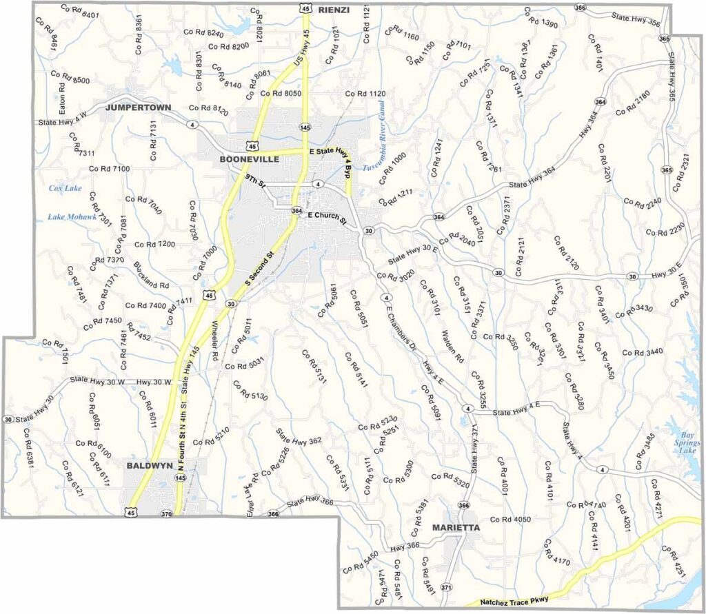
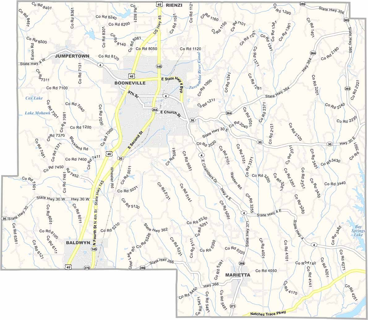
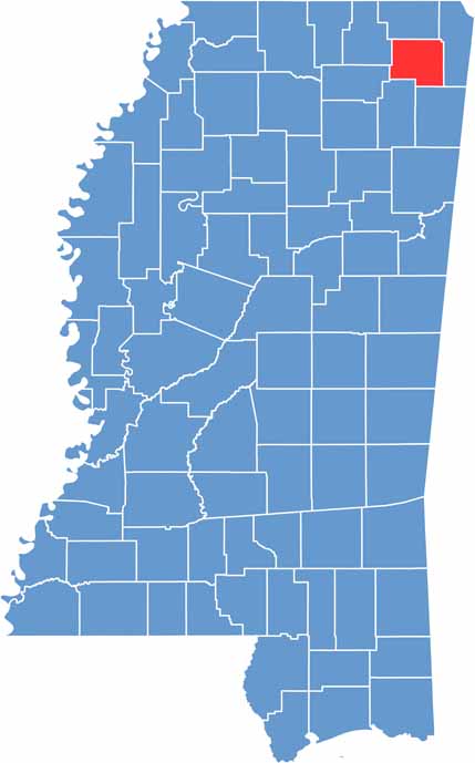
Prentiss County is located in the northeast corner of Mississippi. Its history dates back to the Chickasaw Nation, and you can still feel that heritage today.
The annual Prentiss County Fair draws crowds from all over, showcasing the area's strong agricultural roots. Booneville, the county seat, sits at the center of it all.
There's something special about the way sunlight filters through the pine trees here. Fishing at Bay Springs Lake in the southeast is a local favorite.

Mississippi Counties
Rankin County Map Download Mississippi – Outline Map and Blank Map

Mississippi Counties
Madison County Map Download Mississippi – Outline Map and Blank Map

Mississippi Counties
Jackson County Map Download Mississippi – Outline Map and Blank Map

Mississippi Counties
Hinds County Map Download Mississippi – Outline Map and Blank Map

Mississippi Counties
Harrison County Map Download Mississippi – Outline Map and Blank Map

Mississippi Counties