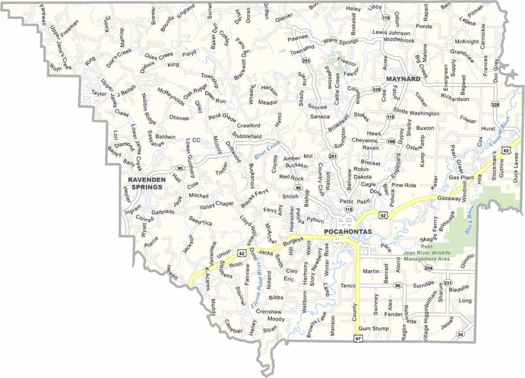
Randolph County, Arkansas

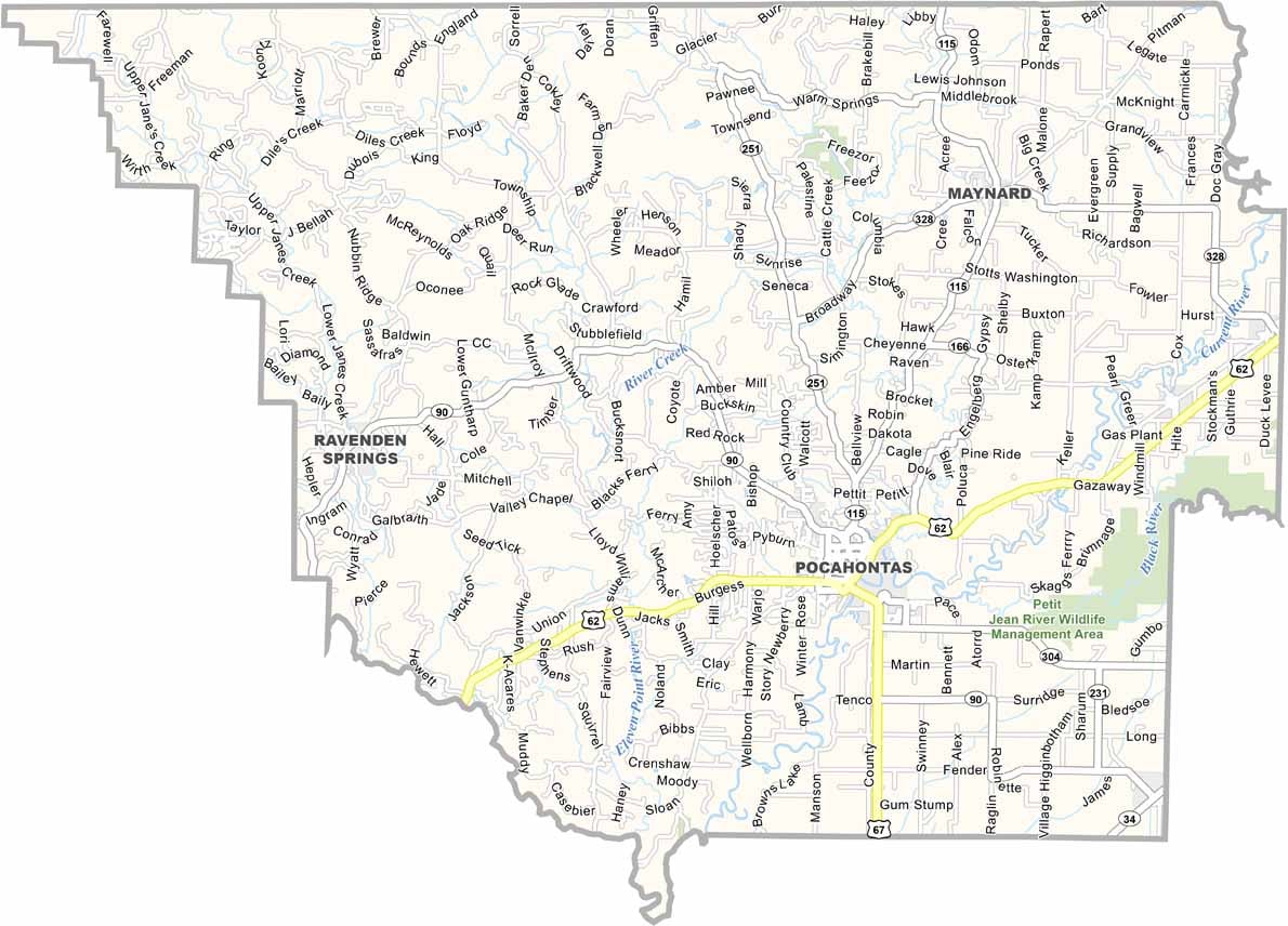
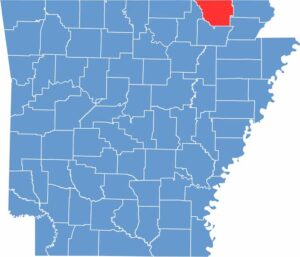
Randolph County is located in northeastern Arkansas and has a population of around 17,000 people. The area is known for its rich history and the convergence of five rivers.

Pocahontas, not the same one in Virginia, serves as the county seat. The town has a historic downtown that reflects the region’s past. The Randolph County Heritage Museum is a popular attraction, featuring exhibits about early settlement and Civil War history.

The Black River serves as the county’s main waterway. For transportation, U.S. Highways 62 and 67 pass through the county, making it easy to travel north toward Missouri or south toward Little Rock.
CategoryDetails
County NameRandolph County
County SeatPocahontas
EtymologyNamed in honor of John Randolph, a Virginia statesman
Cities, Towns, and CommunitiesPocahontas, Randolph County (unincorporated communities: Biggers, Delaplaine, Maynard, Reyno)
Interstates and HighwaysU.S. Route 67, Arkansas Highway 115, Arkansas Highway 361
FIPS Code05-121
Total Area (Land and Water)1,083 square miles (Land: 1,080 sq mi, Water: 3 sq mi)
Adjacent Counties (and Direction)Clay County (East), Greene County (Southeast), Lawrence County (South), Sharp County (West), Oregon County, Missouri (Northeast), Ripley County, Missouri (Northwest)
Time ZoneCentral Standard Time (CST)
StateArkansas
Coordinates36.2970° N, 90.9980° W
Major LandmarksOld Randolph County Courthouse, Spring River, Davidsonville Historic State Park
PopulationApproximately 17,000
Scroll to Top