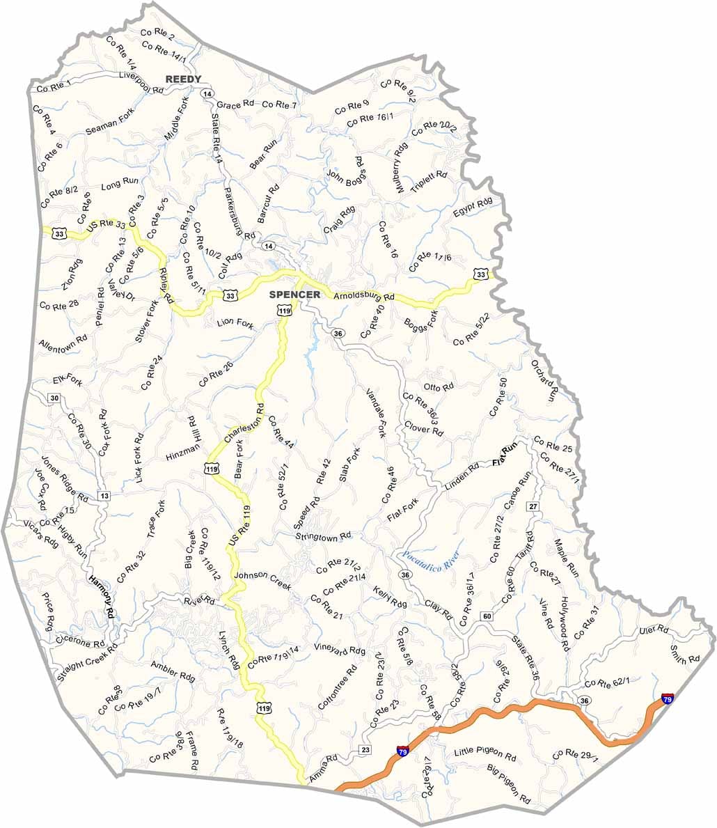
Roane County Map Download West Virginia – Outline Map and Blank Map

Roane County Map Download West Virginia – Outline Map and Blank Map

Roane County, West Virginia

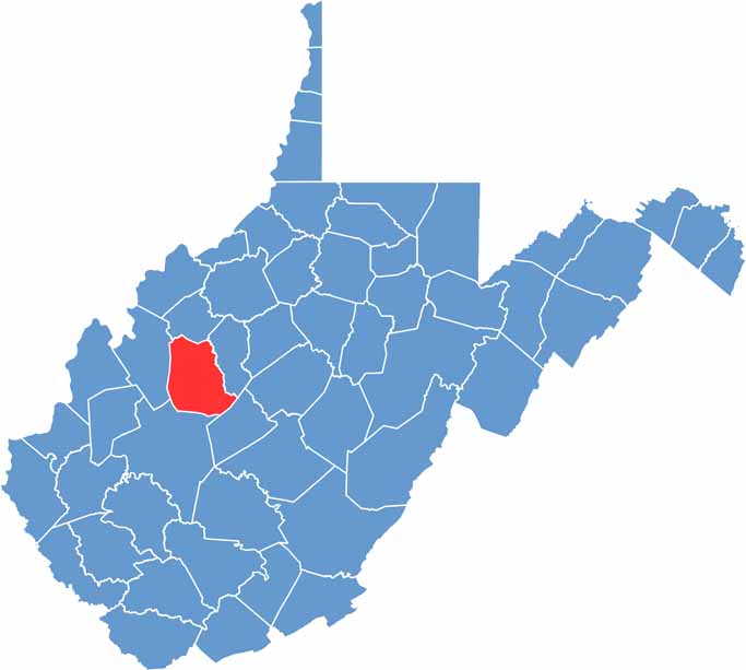
Roane County sits in the center of West Virginia and has a distinctly rural character. Spencer, the county seat, is the only incorporated town in the county. Beyond that, it’s mostly open countryside, forests, farms, and rolling hills.

The county is named after Spencer Roane, a prominent judge from the early days of the state’s history. Hunting is a major pastime here, especially during deer season, which locals treat like an annual tradition. Residents are known for being independent, hardworking, and self-reliant.

The Little Kanawha River winds through Roane County, offering good opportunities for kayaking, fishing, and enjoying the outdoors. Employment opportunities can be limited, but the community spirit is strong. Neighbors look out for one another, especially when times get difficult.
CategoryDetails
County NameRoane County
County SeatSpencer
PopulationApproximately 13,000
Cities, Towns, and CommunitiesSpencer, Reedy, Walton, Gandeeville, Newton
Interstates and HighwaysUS-33, WV-14, WV-36
FIPS Code54-087
Total Area (Land and Water)484 sq mi (Land: 483 sq mi; Water: 1 sq mi)
Adjacent Counties (and Direction)Wirt County (North), Calhoun County (East), Clay County (Southeast), Kanawha County (South), Jackson County (West)
Time ZoneEastern Time Zone (ET)
StateWest Virginia
Coordinates38.7229° N, 81.3497° W
EtymologyNamed after Spencer Roane, a Virginia jurist
Major LandmarksCharles Fork Lake, Spencer State Hospital, Clover Volunteer Fire Department Car Show
Scroll to Top