
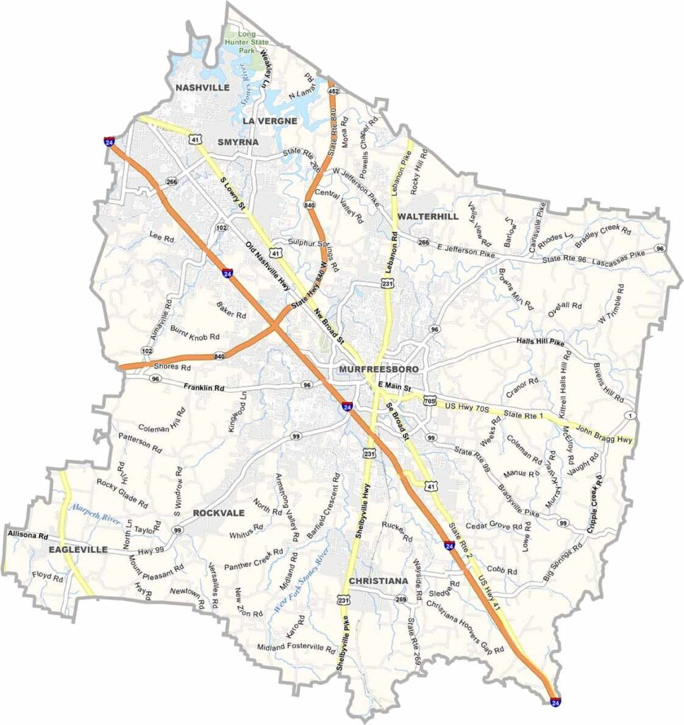
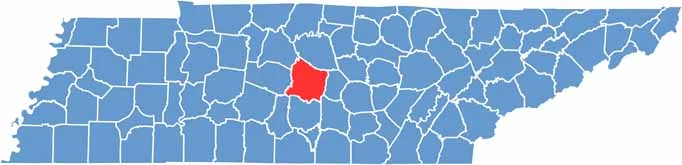
Rutherford County is right in the heart of Tennessee. It's just southeast of Nashville, making it a popular spot for commuters. Murfreesboro, the county seat, is home to Middle Tennessee State University.
This place has seen some serious growth in recent years and is one of the fastest-growing counties in the state. But it still has plenty of history. Stones River National Battlefield is here, site of a major Civil War battle.
Rutherford County has a good mix of urban and rural areas. You can find modern shopping centers and old family farms within a few miles of each other. The county is also known for its caves, and the Snail Shell Cave system is a big draw for spelunkers.
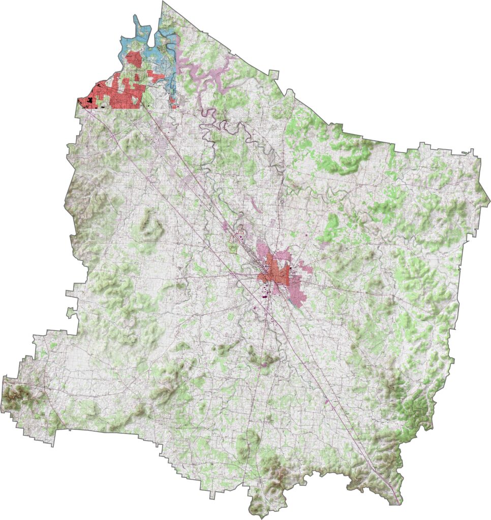
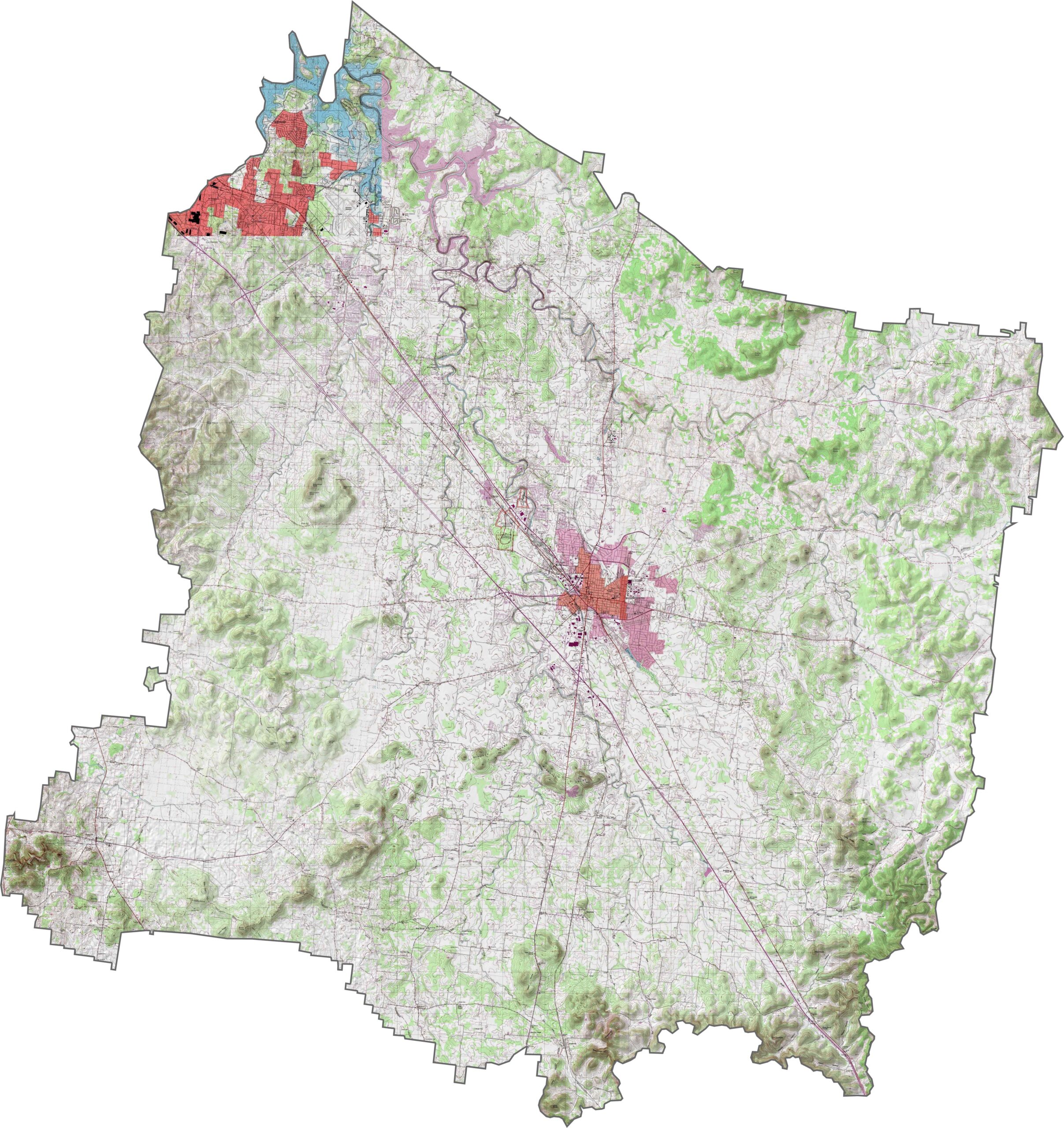
Flat with a twist. Most of the central part of Rutherford County is level ground, perfect for all that development. But head to the outskirts, and the landscape gets a little bumpy. Learn more by zooming into our topographic map below.
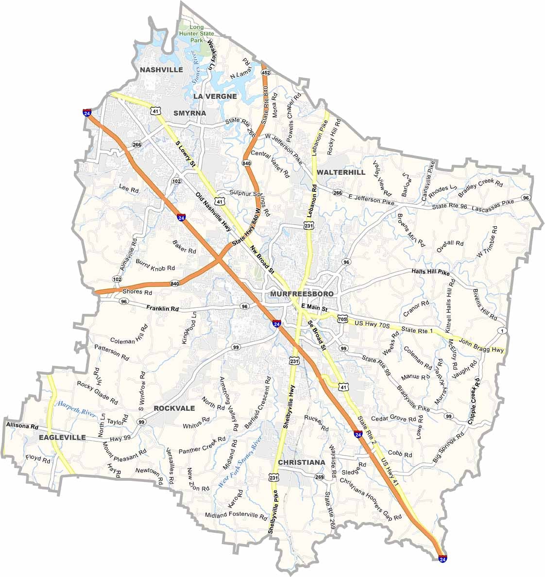
Fast. That's the first word that comes to mind. Interstate 24 and U.S. Highway 41 help you zoom through. Rutherford County has highways built for movement, slicing through Murfreesboro and pushing traffic out in all directions. Our zoom tool breaks it all down.
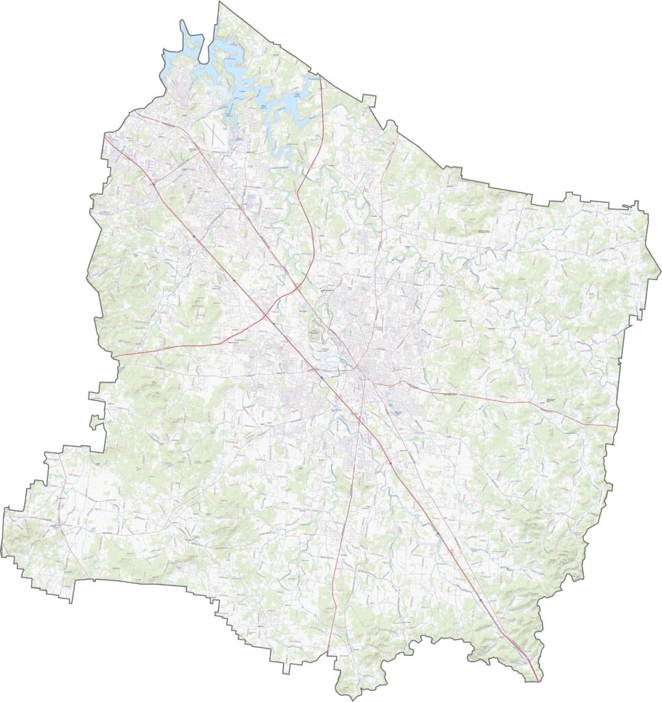
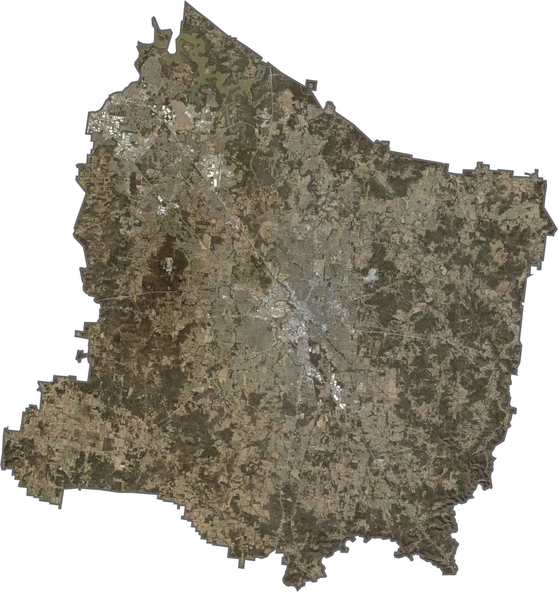
In our satellite map, you'll spot Murfreesboro instantly in gray. Beyond that, it's a mix. Farm fields give way to subdivisions, and green spaces pop up in between. The Stones River stands out because it flows right through town.
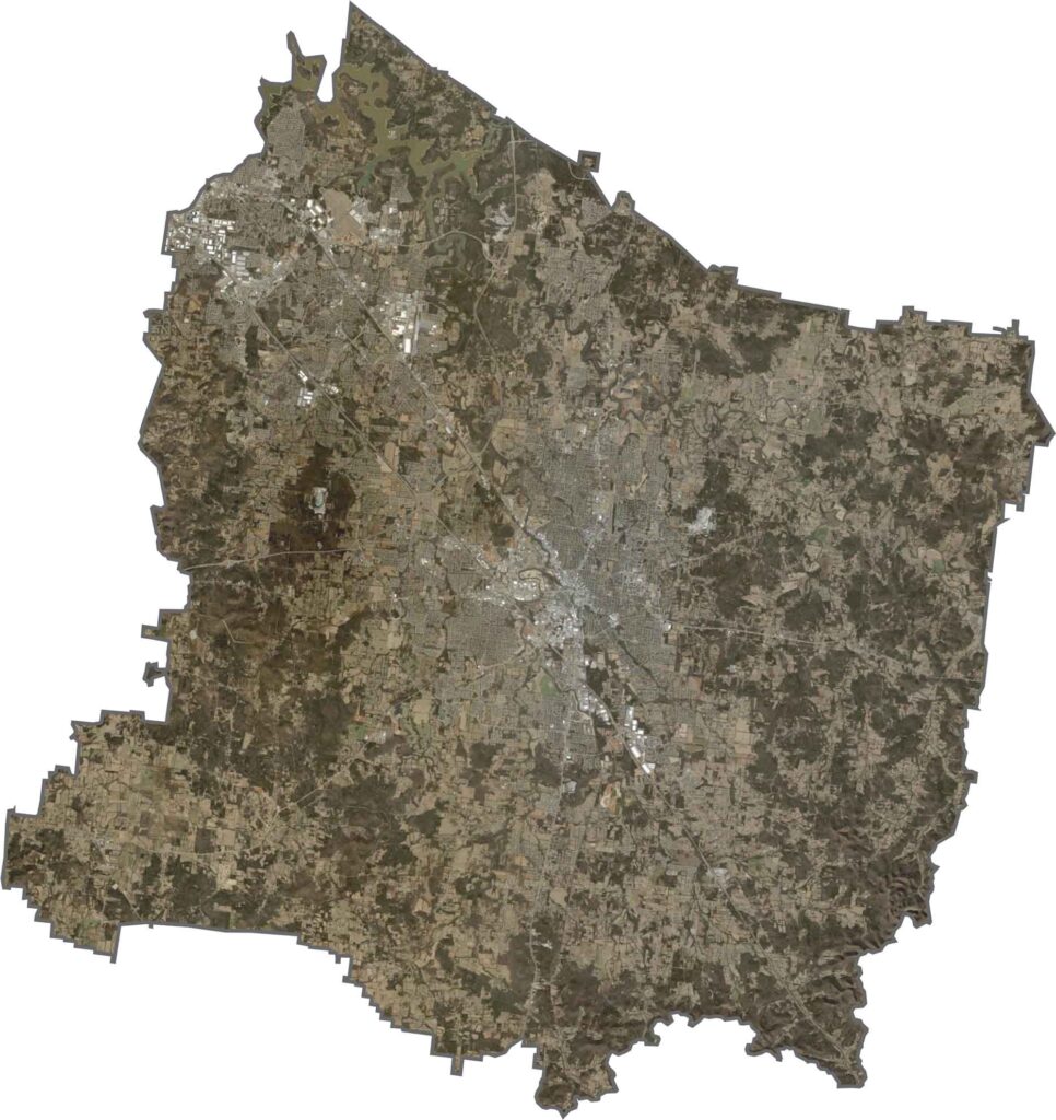
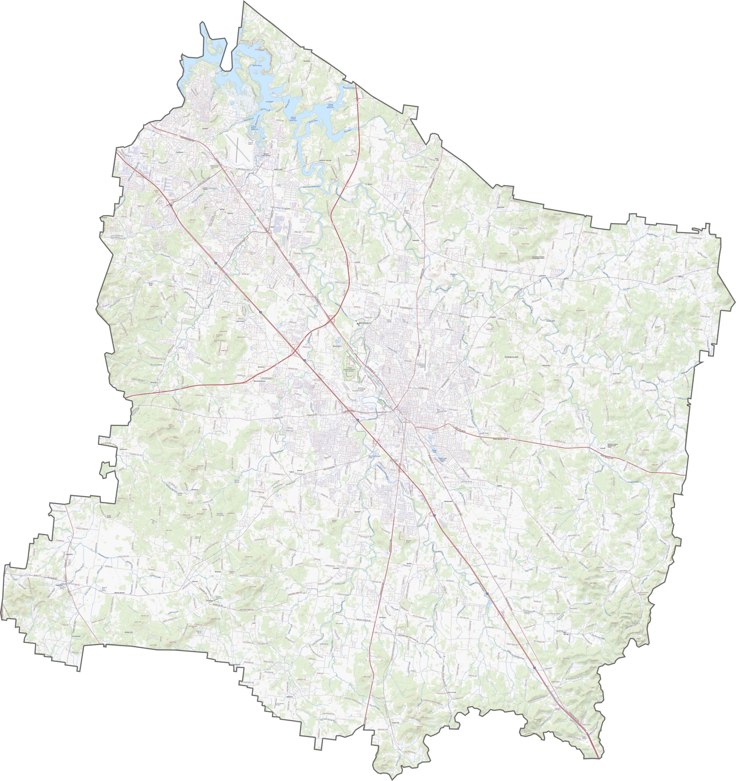
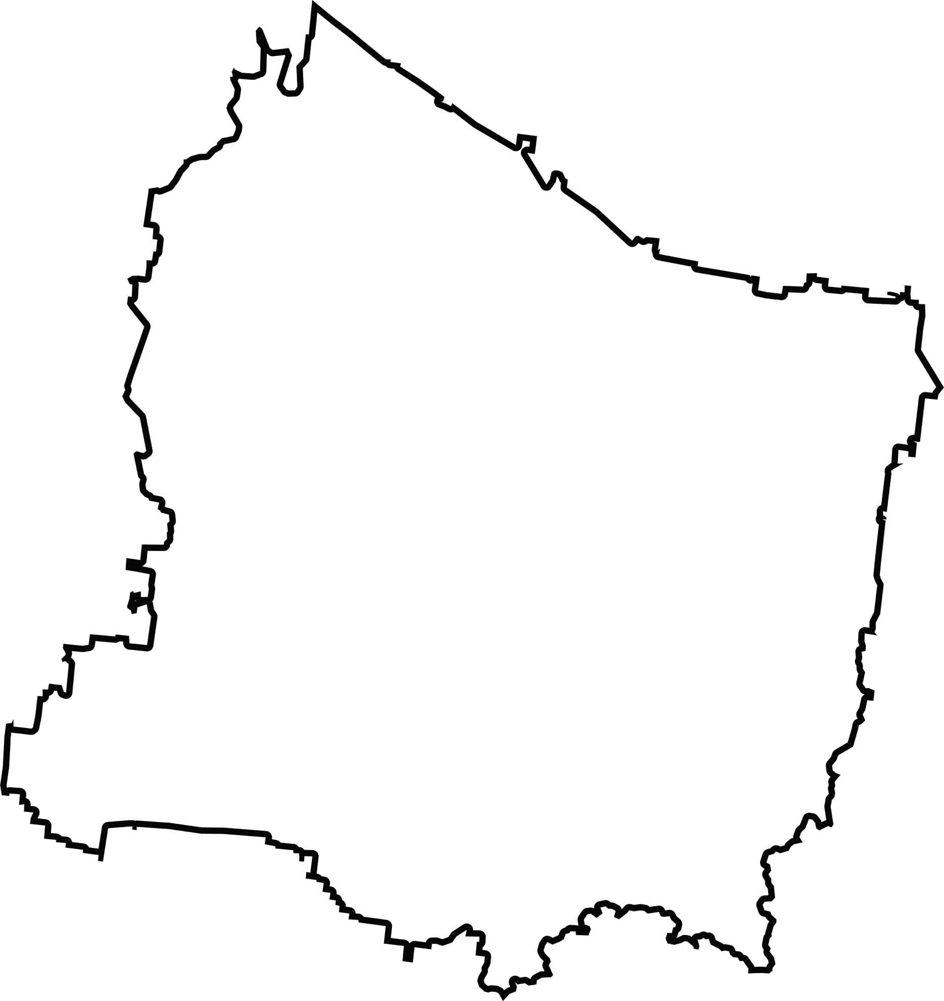
Rutherford County is shaped like a loose rectangle, with lots of bulges and kinks around the edges. There are no state borders here, as it's boxed in by Tennessee neighbors. It sits right in the middle of Tennessee.
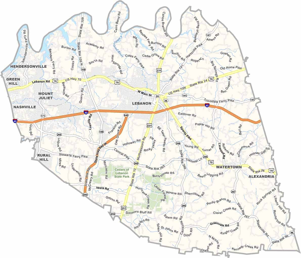
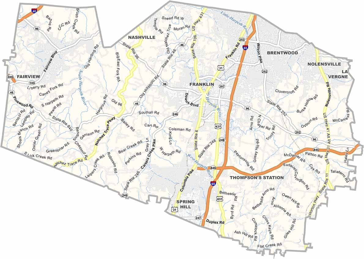
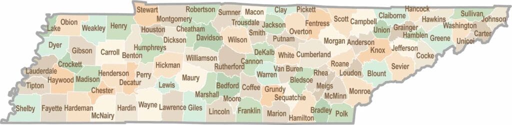
No county in Tennessee is a boring one. Some stretch through the Smokies, while others roll out into the Delta flatlands. Every county is shaped by its land, and it shows.