
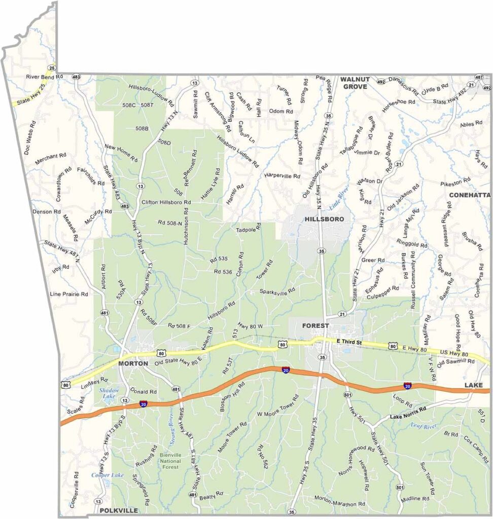
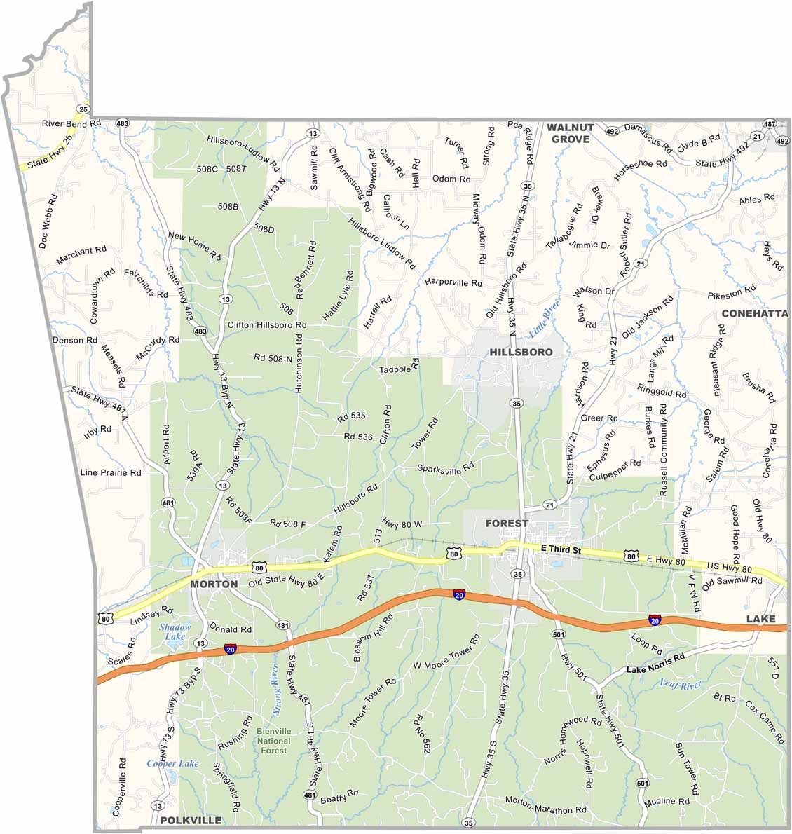
Central Mississippi is home to Scott County, where roots run deep. Native American heritage and early European settlements shaped its character.
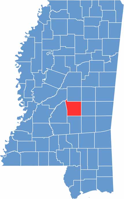
The county seat, Forest, sits in the middle of the state, about an hour's drive east of Jackson. Agriculture still plays a big role in local life, with poultry farming leading the charge.
Outdoor lovers have plenty to explore here, from the Bienville National Forest to the scenic Strong River. Roosevelt State Park offers fishing on Shadow Lake, along with trails and campsites.

Mississippi Counties
Rankin County Map Download Mississippi – Outline Map and Blank Map

Mississippi Counties
Madison County Map Download Mississippi – Outline Map and Blank Map

Mississippi Counties
Jackson County Map Download Mississippi – Outline Map and Blank Map

Mississippi Counties
Hinds County Map Download Mississippi – Outline Map and Blank Map

Mississippi Counties
Harrison County Map Download Mississippi – Outline Map and Blank Map

Mississippi Counties