
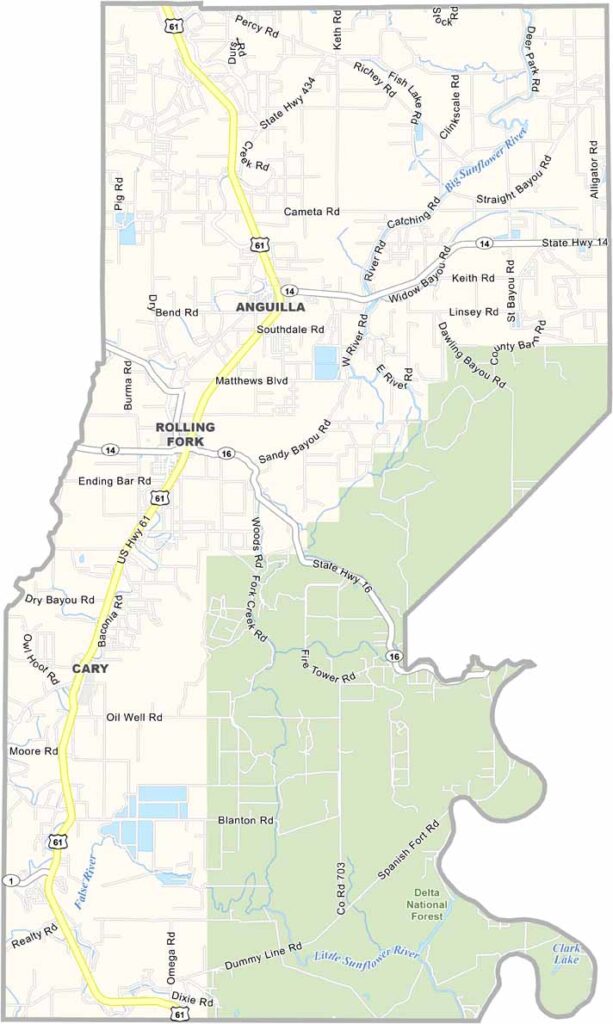
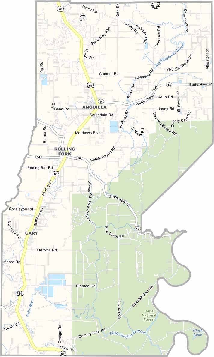
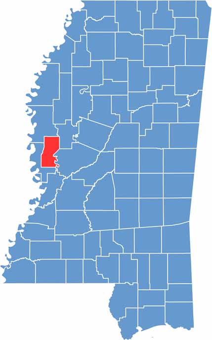
Sharkey County lies in the heart of the Mississippi Delta. The county borders the Yazoo River, with rolling fields of cotton stretching far into the distance.
Sharkey County isn't big on flashy attractions. Instead, it's all about the little things, like the way neighbors wave as they pass on dusty roads or the smell of barbecue wafting through the air on weekends.
Visitors might get a kick out of the old courthouse in Rolling Fork, the county seat. Delta National Forest covers the southeast section of the county and has seen its fair share of drama over the years.

Mississippi Counties
Rankin County Map Download Mississippi – Outline Map and Blank Map

Mississippi Counties
Madison County Map Download Mississippi – Outline Map and Blank Map

Mississippi Counties
Jackson County Map Download Mississippi – Outline Map and Blank Map

Mississippi Counties
Hinds County Map Download Mississippi – Outline Map and Blank Map

Mississippi Counties
Harrison County Map Download Mississippi – Outline Map and Blank Map

Mississippi Counties