
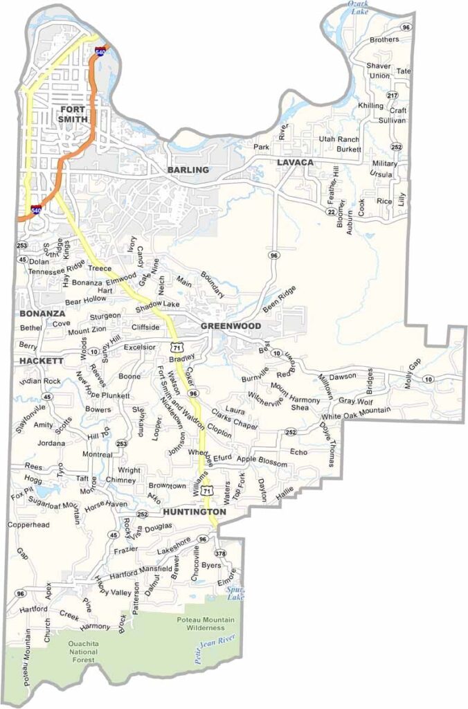
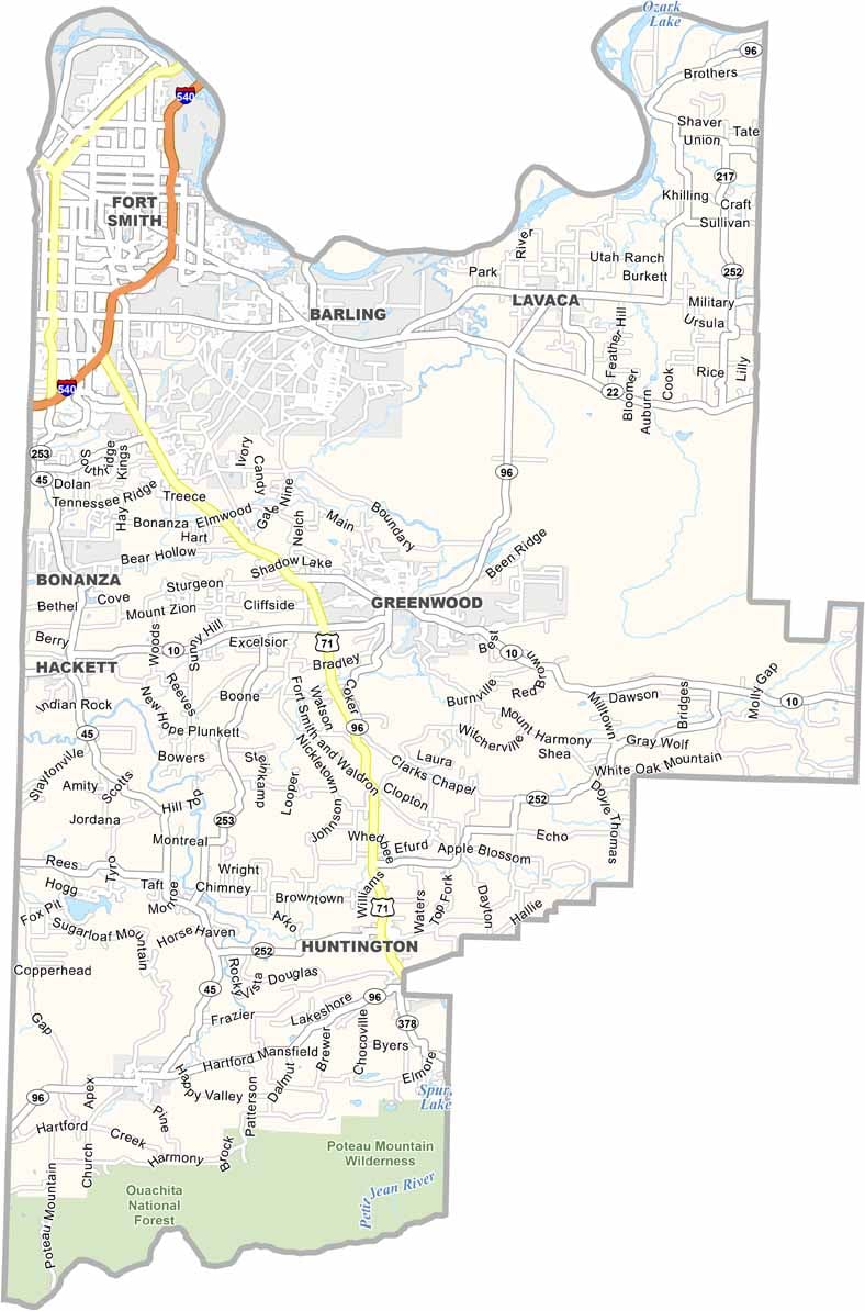
Sebastian County is located in western Arkansas along the Arkansas River. Its landscape ranges from river valleys to the Ouachita Mountains.
Fort Smith serves as the county seat and is known for its Wild West history and the Fort Smith National Historic Site. The city’s downtown area is experiencing a revival, with new museums and a growing arts scene.
The Janet Huckabee Arkansas River Valley Nature Center provides hands-on outdoor education opportunities. Greenwood maintains a small-town atmosphere with its historic square. Despite its urban areas, Sebastian County also offers plenty of opportunities for outdoor recreation.
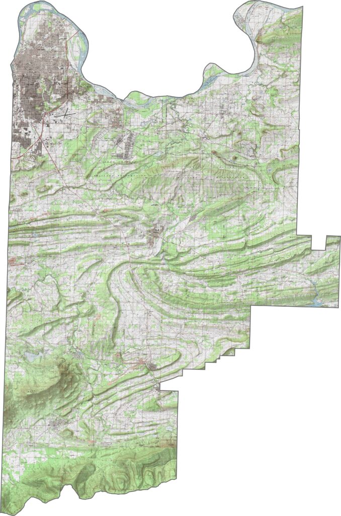
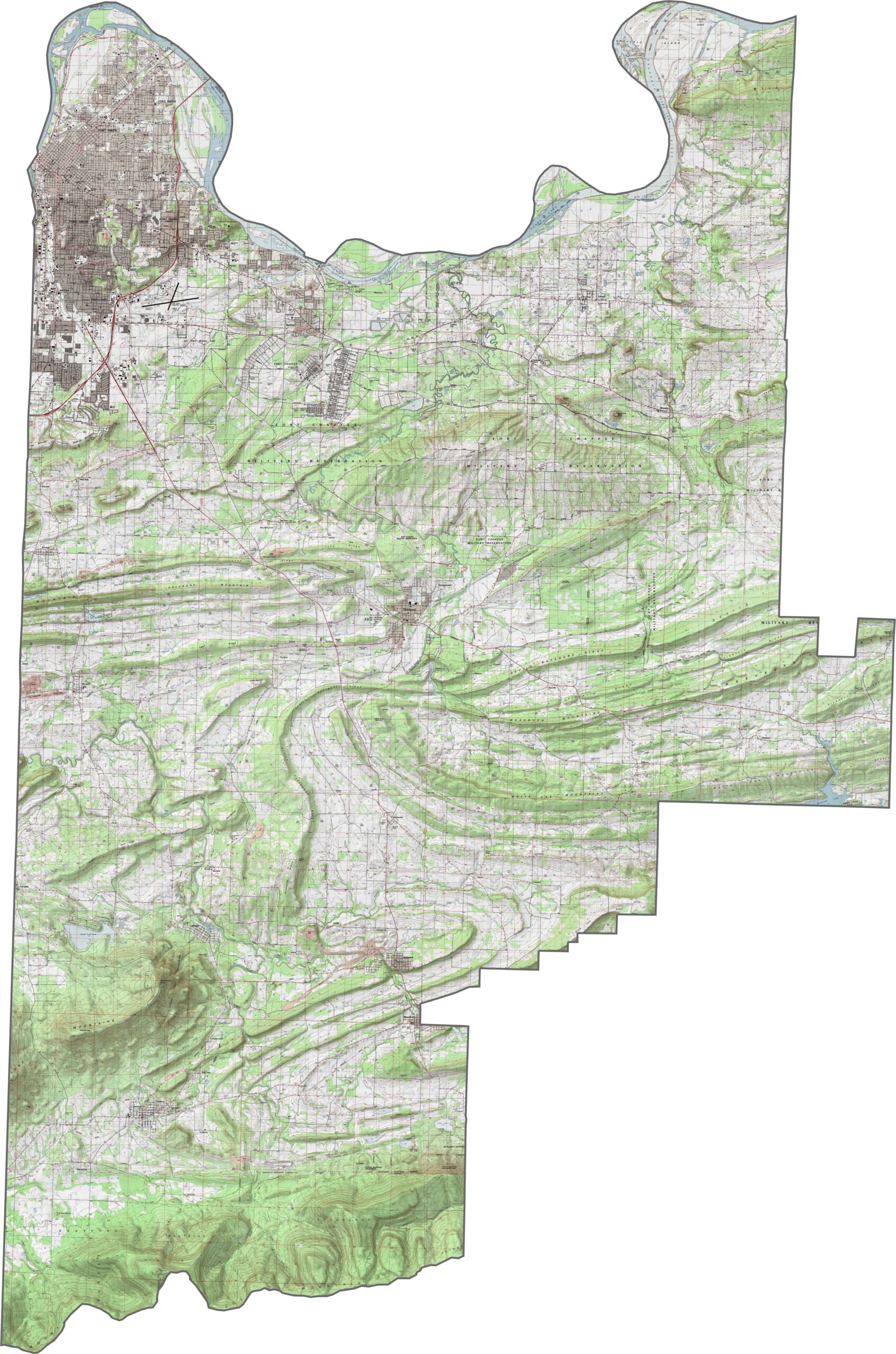
The topographic map of Sebastian County displays the flat river valley around Fort Smith and rising elevations toward the southern mountains. Our new zoom tool allows you to explore all the terrain features in greater detail.
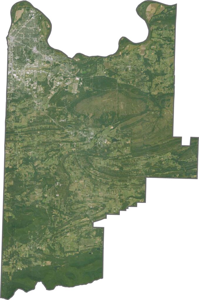
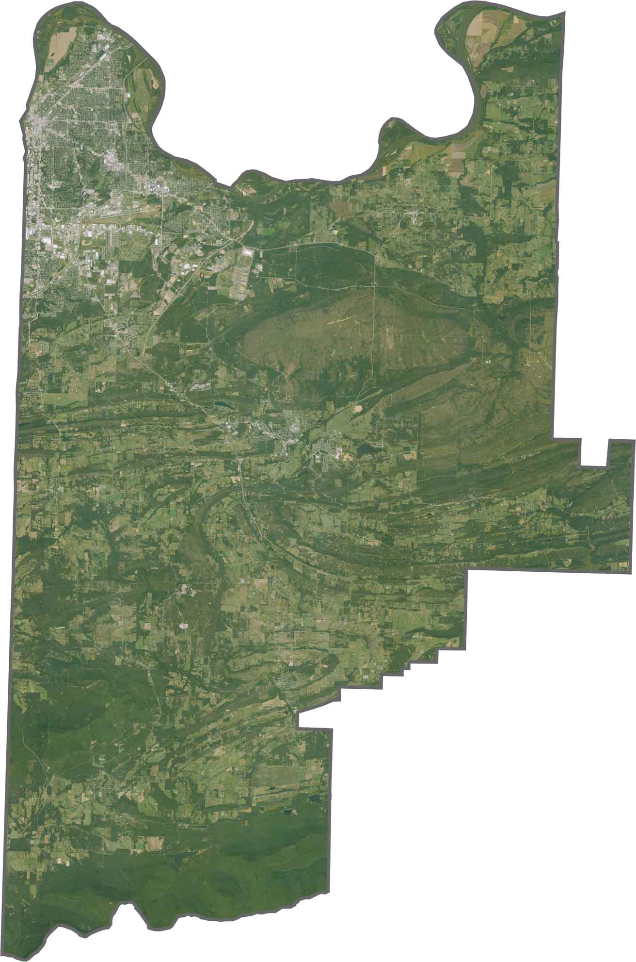
This satellite map of Sebastian County reveals Fort Smith along the Arkansas River, with Oklahoma to the west. Southern Sebastian County shows the beginning of the Ouachita Mountains.
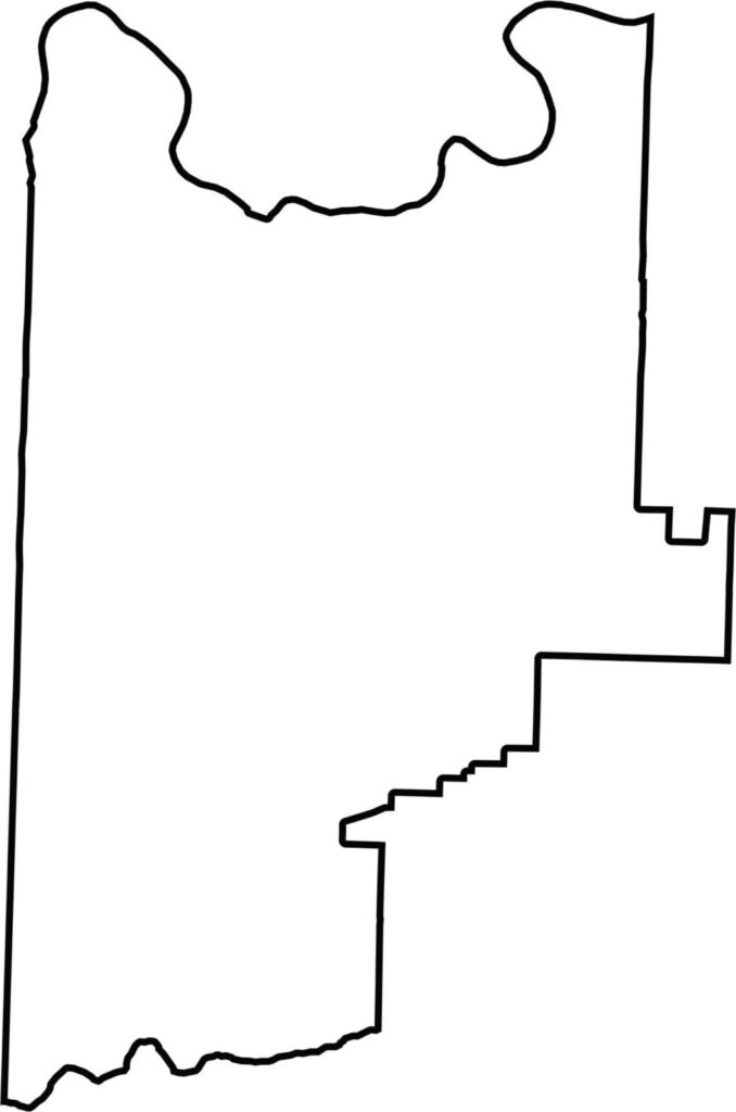
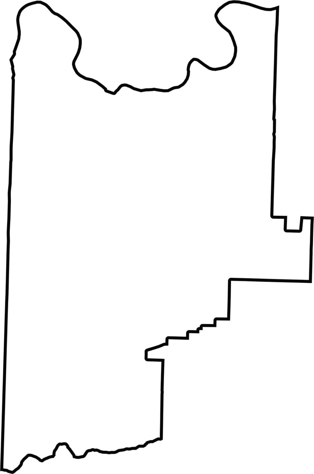
This blank map of Sebastian County displays its outline along the Oklahoma border. The county boundaries provide a basic reference for locating local communities.
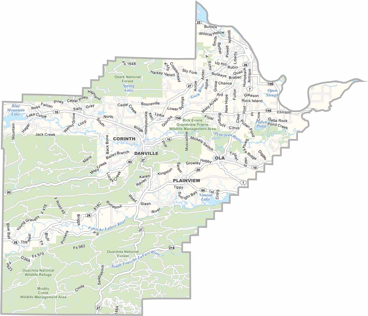
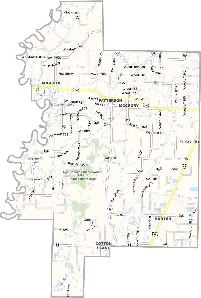
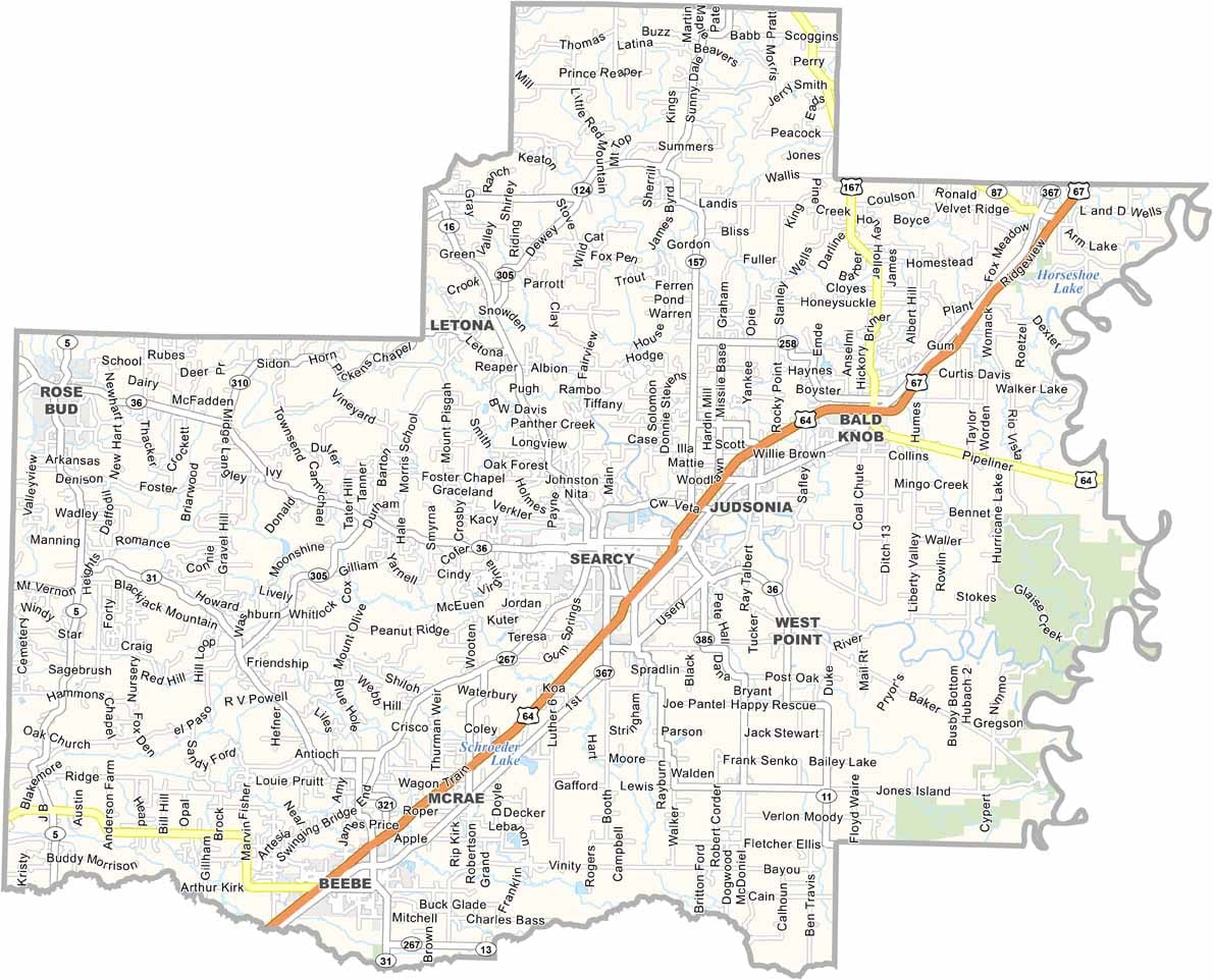


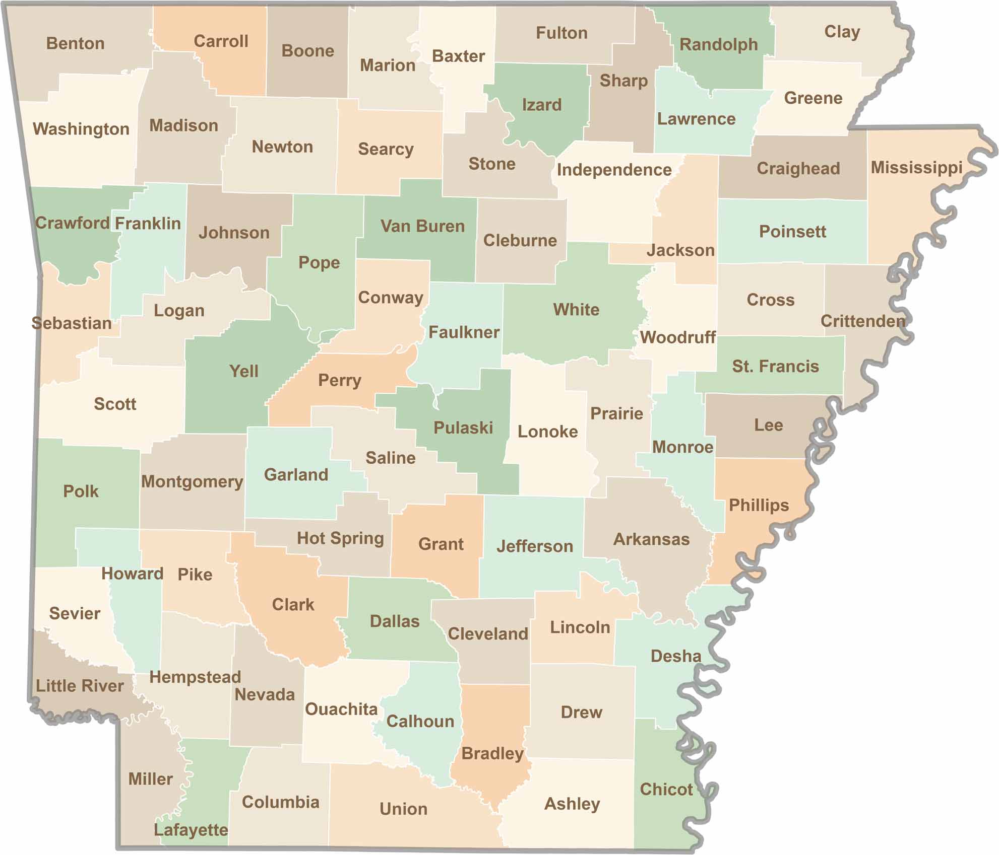
Discover all 75 Arkansas counties with our detailed and easy-to-read map. Explore the Natural State’s cities, scenic byways, and notable attractions with ease. This Arkansas county map is perfect for travelers, students, researchers, and anyone interested in learning more about the state.