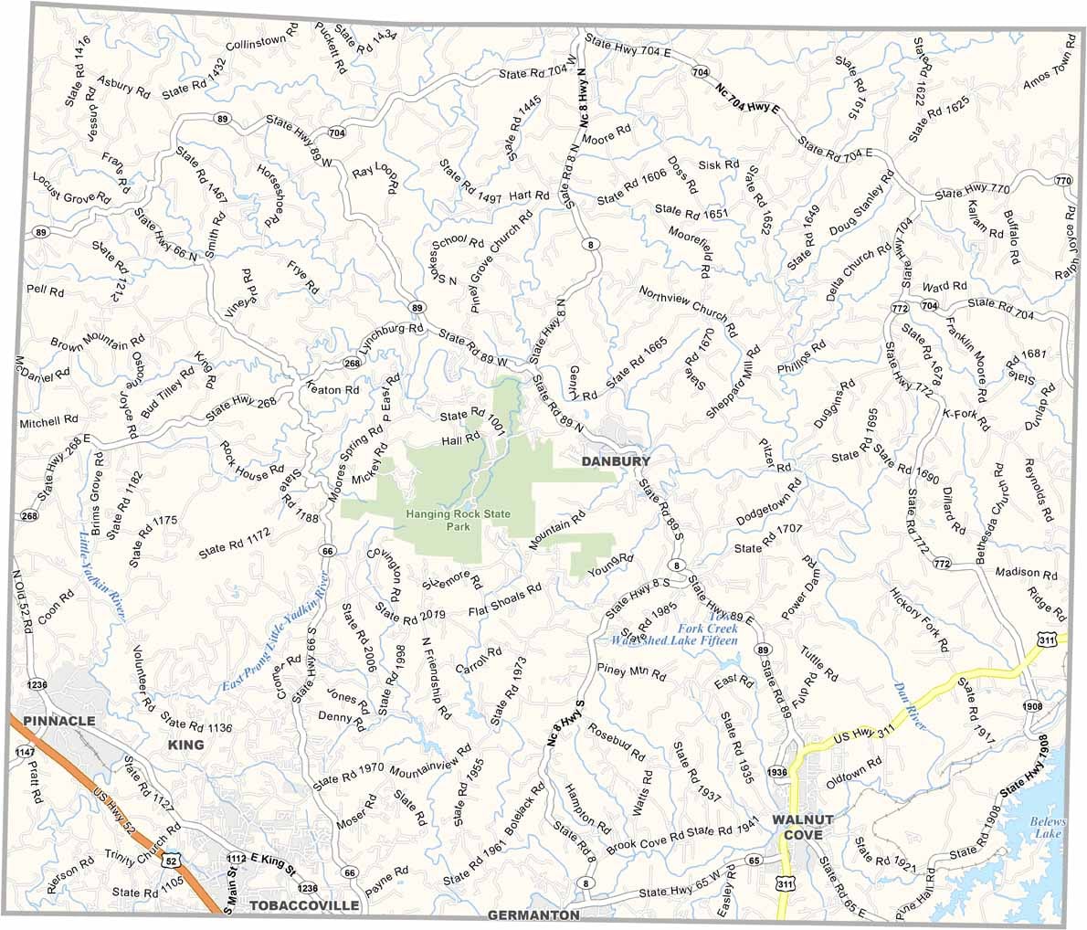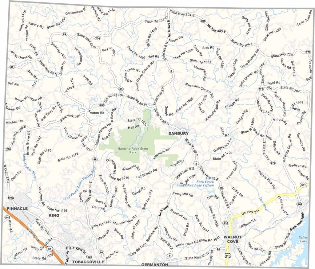
Stokes County Map, North Carolina

Stokes County, North Carolina

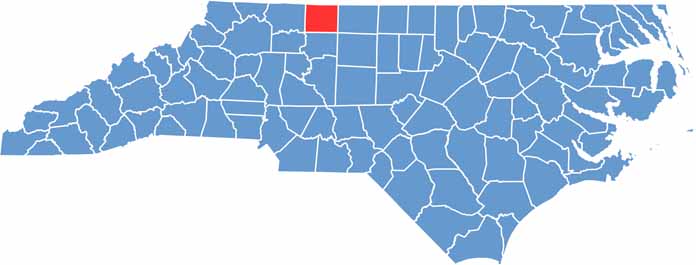
Stokes County is perched in the northwestern part of North Carolina, bordering Virginia to the north. It’s where the Sauratown Mountains rise up from the Piedmont.

Hanging Rock State Park is right in the center of this county, and rock climbers come from all over to tackle its cliffs. The Dan River winds through the county and is perfect for kayaking and tubing.

Danbury, the tiny county seat, has loads of character. You can still see the old county courthouse on the hill, which was listed on the National Register of Historic Places in 1979. The area has deep roots in tobacco farming, but times are changing.

CategoryDetails
County NameStokes County
County SeatDanbury
EtymologyNamed after John Stokes, a soldier of the Revolution
Cities, Towns, and CommunitiesDanbury, Walnut Cove, King, Rural Hall
Interstates and HighwaysU.S. Route 52, U.S. Route 311
FIPS Code37-169
Total Area447 square miles (land and water)
Adjacent CountiesPatrick County, Virginia (North), Henry County, Virginia (Northeast), Rockingham County (East), Guilford County (Southeast), Forsyth County (South), Surry County (West)
Time ZoneEastern Time Zone
StateNorth Carolina
Coordinates36.3572° N, 80.4306° W
Major LandmarksHanging Rock State Park, Stokes County Historical Museum
PopulationApproximately 49,000
Scroll to Top