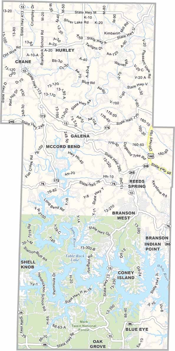
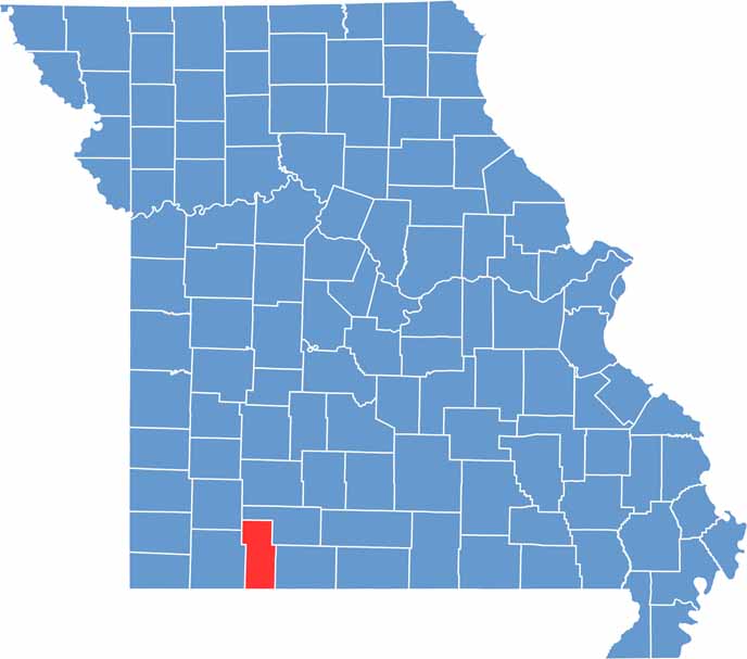
Located in the heart of the Ozark Mountains in southwestern Missouri, Stone County is a scenic destination known for its natural beauty and outdoor recreation. Bordering Arkansas, the county offers breathtaking landscapes that attract visitors seeking relaxation and adventure alike.
At the center of the area’s appeal is Table Rock Lake, one of Missouri’s premier recreational destinations. The lake is a popular spot for fishing, boating, swimming, and other water activities, drawing outdoor enthusiasts throughout the year.
Stone County is also rich in history and small-town charm. Communities such as Kimberling City and Galena showcase the region’s heritage and welcoming atmosphere, while Branson West serves as a lively gateway to local attractions, offering entertainment, dining, and convenient access to the surrounding Ozark scenery.

Wright County Map Missouri

Worth County Map Missouri
Wayne County Map Missouri
Warren County Map Missouri
Washington County Map Missouri
