
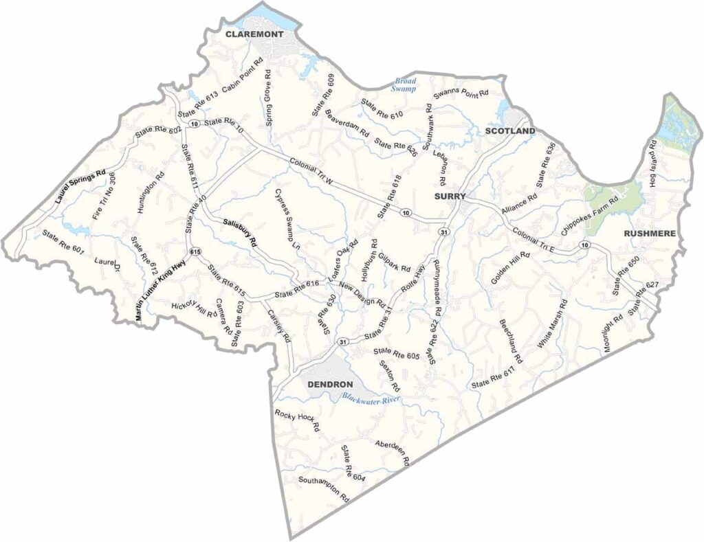
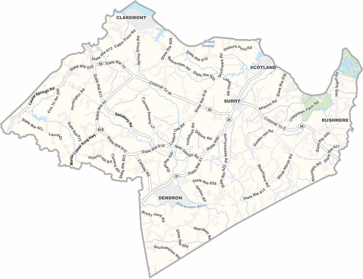
Surry County, Virginia

Surry County is a peaceful corner of rural Virginia, located in the southeastern part of the state along the James River. It has a quiet, traditional character that feels a world away from busy city life.

Established in 1652, Surry County has a long history and has managed to preserve much of its old-fashioned charm. That slower way of life is something local residents take pride in.

Surry serves as the county seat and is a small community filled with Southern character. One of the county’s most famous landmarks is Bacon’s Castle, a remarkable historic home and one of the oldest surviving brick residences in North America.

Printable Stone County Missouri location map showing county location and boundaries
CategoryDetails
County NameSurry County
County SeatSurry
PopulationApproximately 6,500
Cities, Towns, and CommunitiesSurry, Dendron, Claremont, Elberon
Interstates and HighwaysVA-10, VA-31, VA-40
FIPS Code51-181
Total Area (Land and Water)310 sq mi (Land: 279 sq mi; Water: 31 sq mi)
Adjacent Counties (and Direction)Charles City County (Northwest), Isle of Wight County (Southeast), James City County (Northeast), Prince George County (West), Southampton County (South), Sussex County (Southwest)
Time ZoneEastern Time Zone (ET)
StateVirginia
Coordinates37.1359° N, 76.8667° W
EtymologyNamed after Surrey, England
Major LandmarksChippokes Plantation State Park, Bacon’s Castle, Hog Island Wildlife Management Area
Scroll to Top