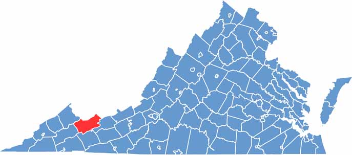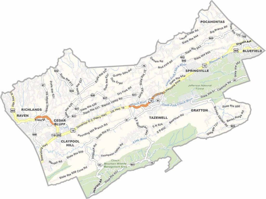
Tazewell County is nestled in the mountains of Southwest Virginia, surrounded by the rugged beauty of the Appalachian Mountains. The region has a strong connection to coal mining, and that heritage has played an important role in shaping the county’s culture and communities.
Established in 1799 and named after Virginia senator Littleton Waller Tazewell, the county has a long and fascinating history. Tazewell serves as the county seat, while Bluefield is one of the larger communities in the area and sits along the West Virginia border.
The dramatic Clinch Mountain range dominates much of the landscape, offering breathtaking views and plenty of opportunities for outdoor recreation. Burke’s Garden, often called “God’s Thumbprint,” is a remarkable bowl-shaped valley surrounded by mountains. Hiking and ATV trails attract outdoor enthusiasts, while the Historic Crab Orchard Museum offers a look into the region’s past.