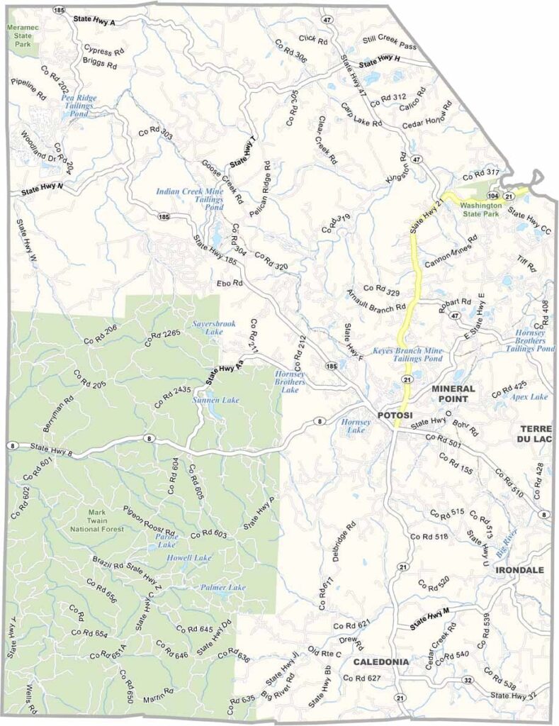
Washington County, located in the eastern region of Missouri, is a picturesque destination known for its rolling hills, sparkling streams, and lush forests that appeal to outdoor enthusiasts and nature lovers alike.
Beyond its natural beauty, the county is geologically significant, featuring some of the oldest rock formations in North America. These ancient rocks offer a fascinating glimpse into the Earth's distant past.
The county seat, Potosi, serves as an ideal starting point for exploring the area. Adventure seekers will find plenty to enjoy in the Mark Twain National Forest, which covers much of the county’s southwestern section and provides abundant opportunities for hiking, camping, fishing, and other outdoor activities.

Missouri
Wright County Map Missouri

Missouri
Worth County Map Missouri
Missouri
Wayne County Map Missouri
Missouri
Warren County Map Missouri
Missouri
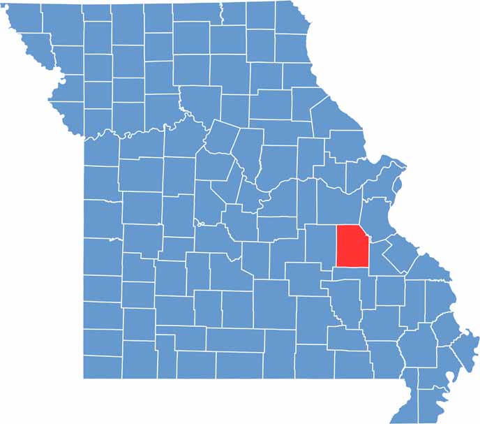
Washington County Map Missouri

Missouri