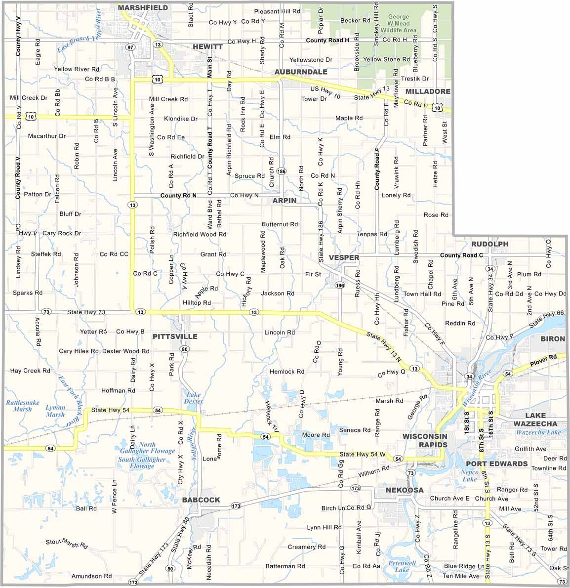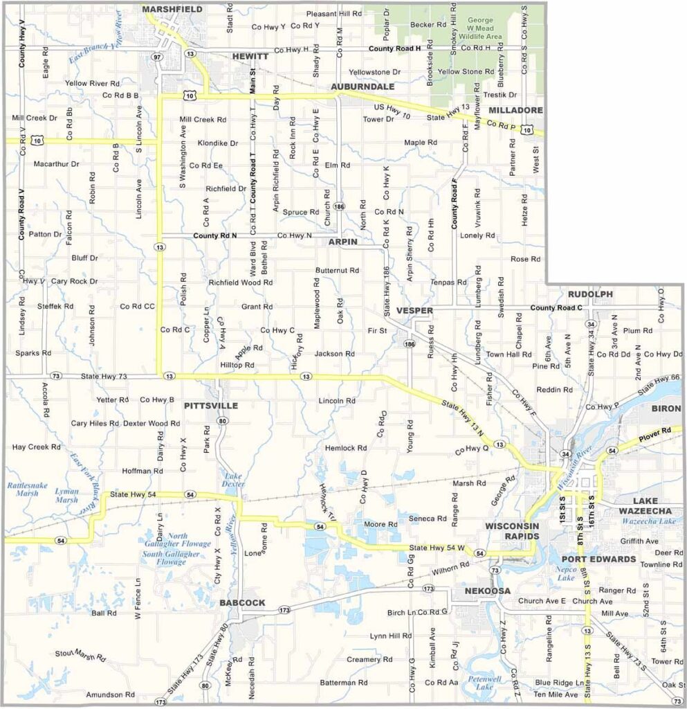
Wood County sits in central Wisconsin and offers much more than its name might suggest. Yes, forests are part of the landscape, but the county also has plenty of farms, rivers, and communities. Wisconsin Rapids and Marshfield are the two largest cities, each bringing its own unique character to the area.
The Wisconsin River runs through the county, providing excellent opportunities for fishing, kayaking, and other water activities. Cranberry bogs are another major feature. Wood County is one of the nation’s leading cranberry-producing areas, and during harvest season, visitors can tour the bogs and watch the fields turn bright red with ripe berries.
The county also has deep roots in the lumber industry, with places like the logging museum in Marshfield preserving that history. Outdoor enthusiasts can enjoy ATV trails, hunting, and plenty of open space. Winters can be long and snowy, but locals know how to embrace the cold.