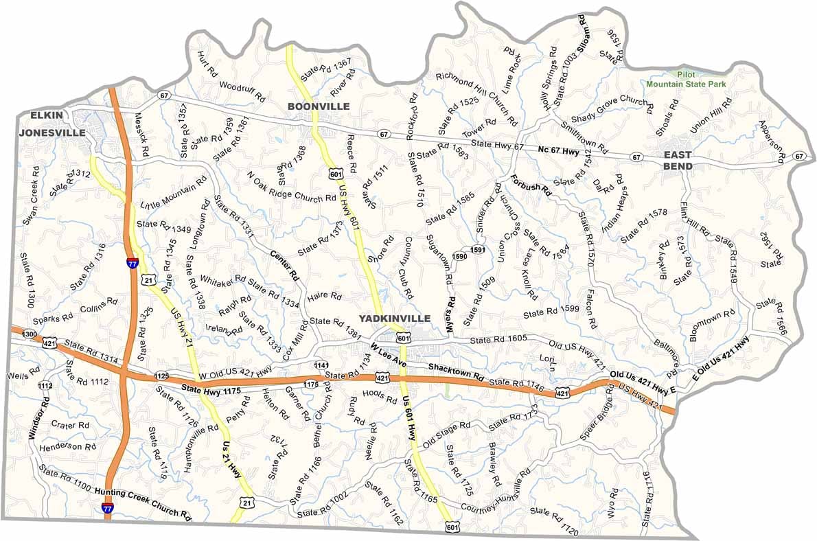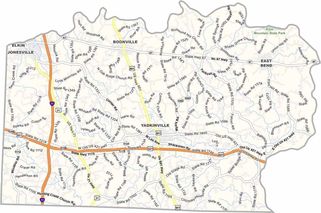
Yadkin County Map, North Carolina

Yadkin County, North Carolina

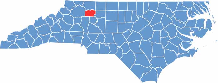
The Yadkin Valley wine region has put Yadkin County on the map. It’s in the northwestern Piedmont of North Carolina, where rolling hills and fertile soil make it ideal for grapes.

But really, agriculture is still king, with plenty of corn and soybean fields. The Yadkin River defines the county’s northern border, making it a paradise for paddlers and anglers.

Small towns dot the landscape, and each has its own personality. While the pace of life is slow here, history runs deep in Yadkin County. You can feel it in the old buildings and stories passed down through generations.

CategoryDetails
County NameYadkin County
County SeatYadkinville
EtymologyNamed after the Yadkin River
Cities, Towns, and CommunitiesYadkinville, East Bend, Jonesville, Boonville
Interstates and HighwaysU.S. Route 421, U.S. Route 601, North Carolina Highway 67
FIPS Code37-197
Total Area335 square miles (land and water)
Adjacent CountiesSurry County (North), Wilkes County (West), Forsyth County (East), Iredell County (Southwest), Davie County (Southeast)
Time ZoneEastern Time Zone
StateNorth Carolina
Coordinates36.1786° N, 80.6764° W
Major LandmarksYadkin Valley Golf Club, Elkin City Park
PopulationApproximately 40,000
Scroll to Top