
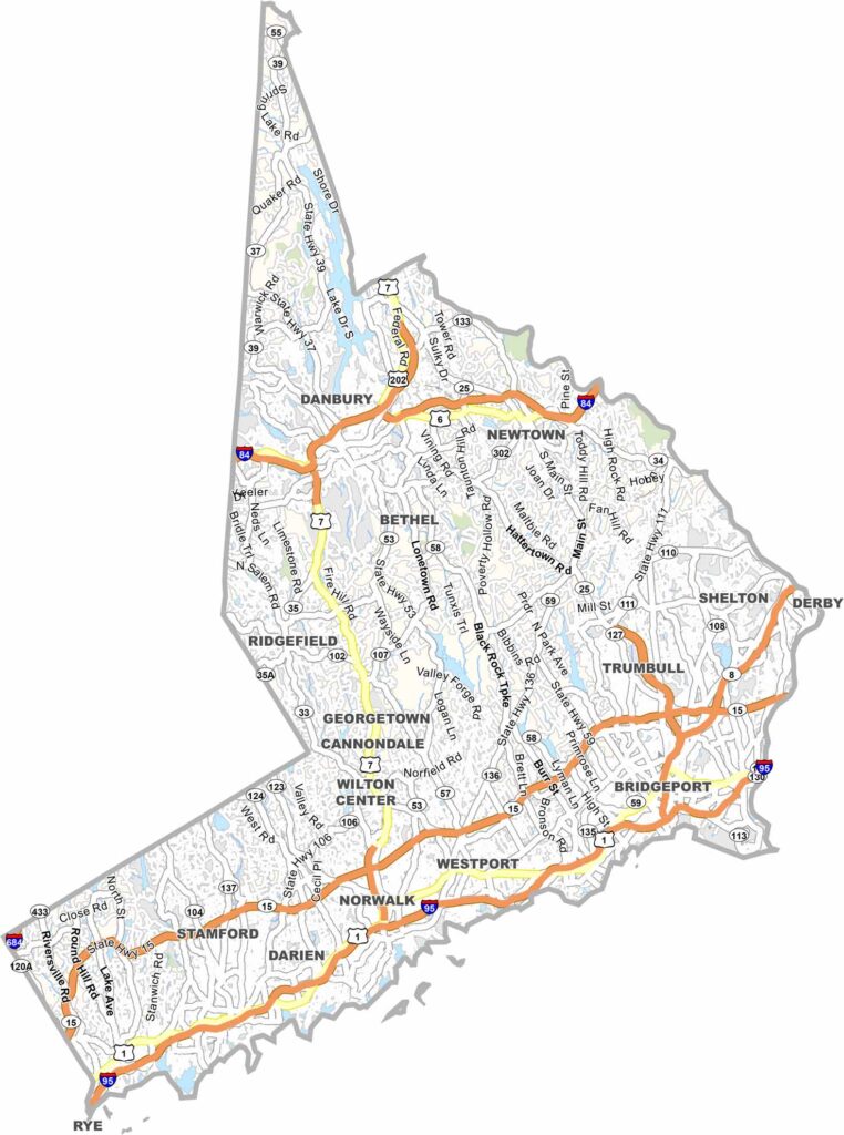
Explore Fairfield County, Connecticut, in the state’s southwestern corner, where New York City’s influence meets classic New England charm. The county blends major business centers and Fortune 500 companies with historic town greens, vibrant communities, and picturesque suburban neighborhoods.
Fairfield County offers an impressive variety of landscapes and experiences, from coastal beaches and wooded parks to lively downtown districts. Stamford’s modern skyline adds a distinctly urban character, while Greenwich is known for elegant estates and upscale communities. Nearby Bridgeport
From New Haven-style pizza to fresh lobster rolls, Fairfield County offers a taste of Connecticut’s diverse lifestyle. Its blend of wealth, business, nature, and culture makes it one of the state’s most distinctive regions.
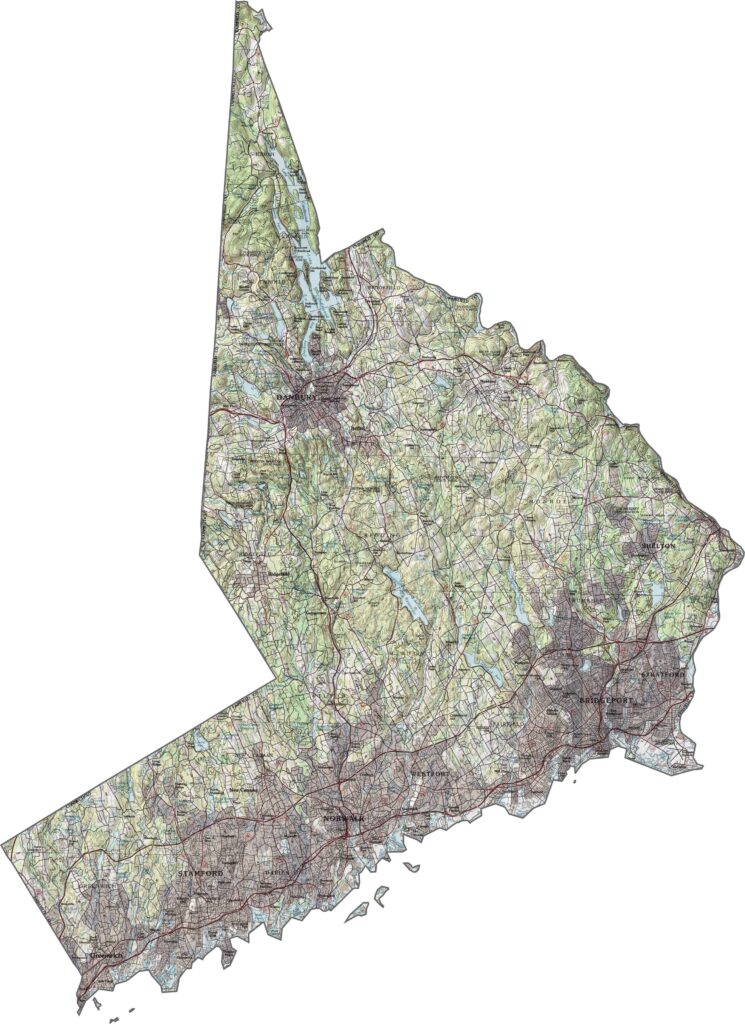
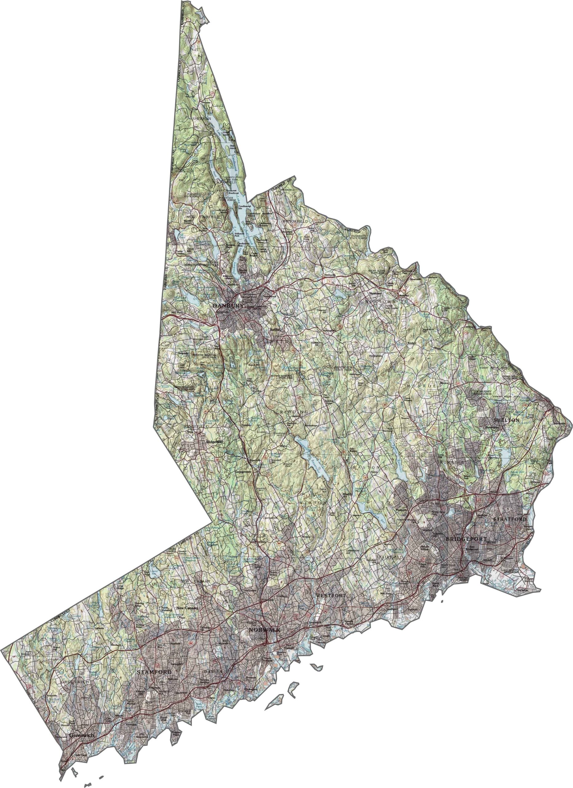
This topographic map of Fairfield County highlights the region’s diverse terrain, stretching from the low-lying shores of Long Island Sound to the rolling hills farther inland. Use the zoom tool to explore the coastal plains and observe the gradual increase in elevation toward the northern part of the county.
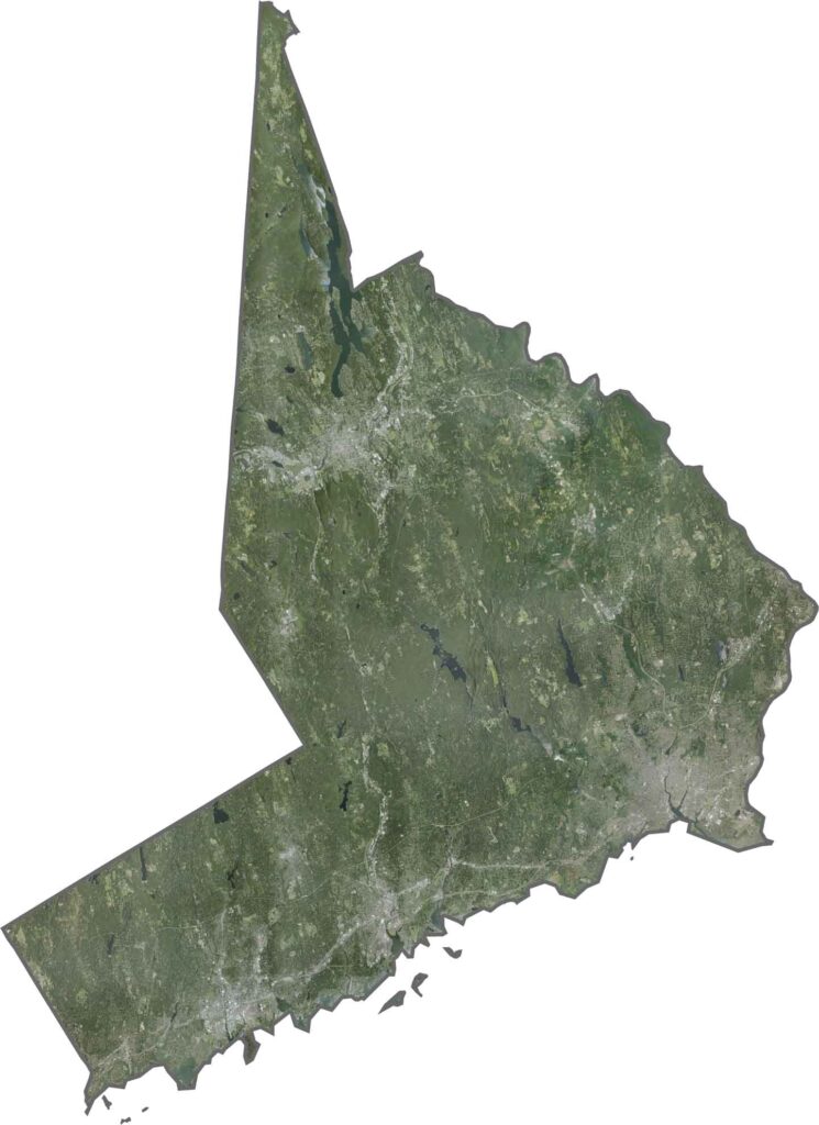
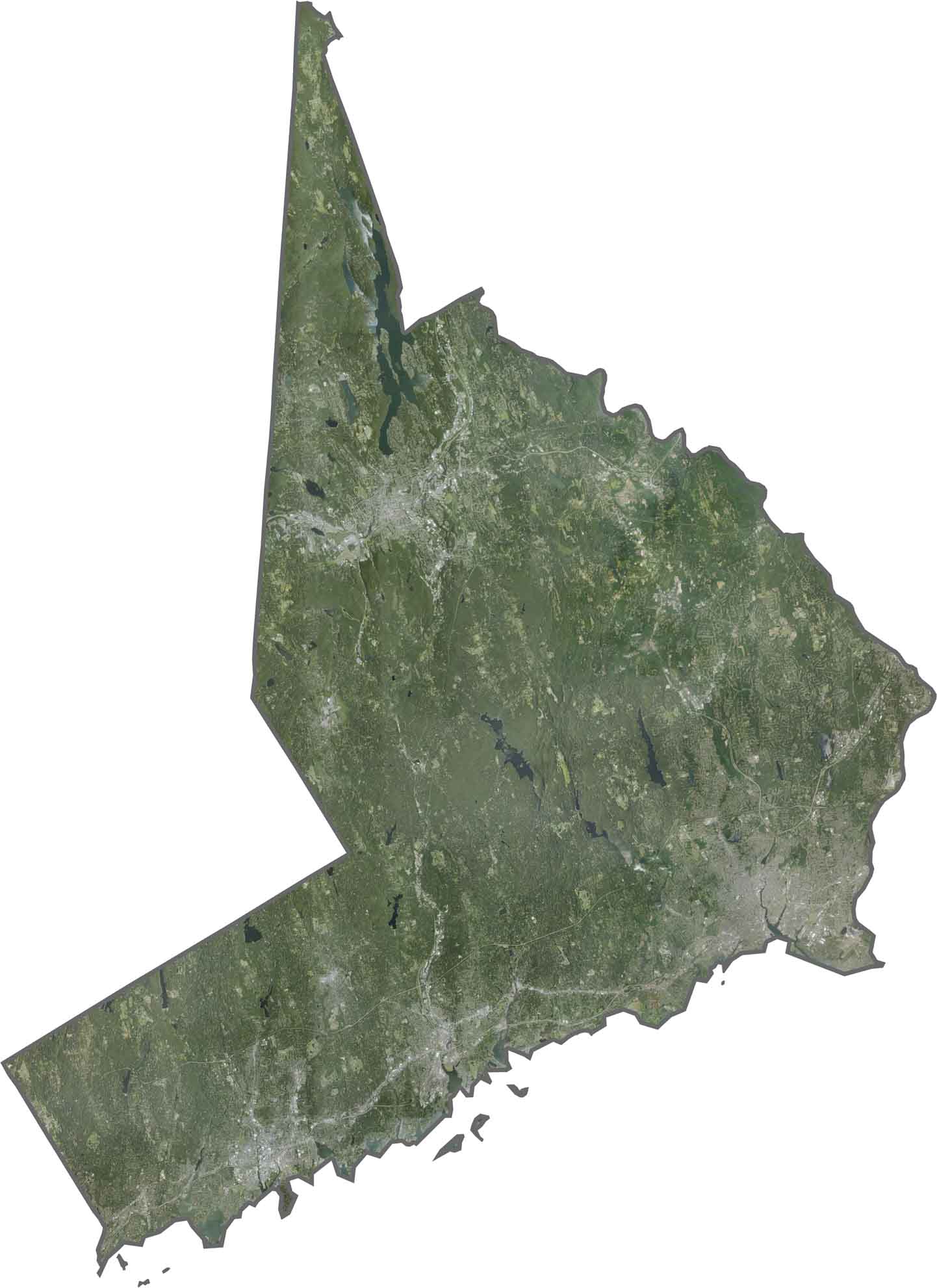
The satellite view reveals a transition from dense urban development in the southwest to wooded suburban landscapes farther north. Along the coast, numerous harbors, bays, and inlets shape the shoreline, while inland areas feature a varied combination of forests, residential communities, and developed land.
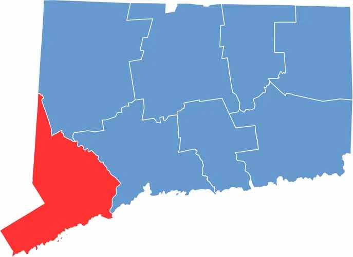
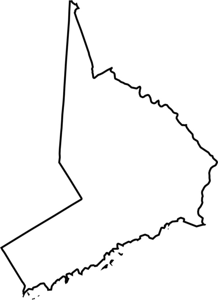
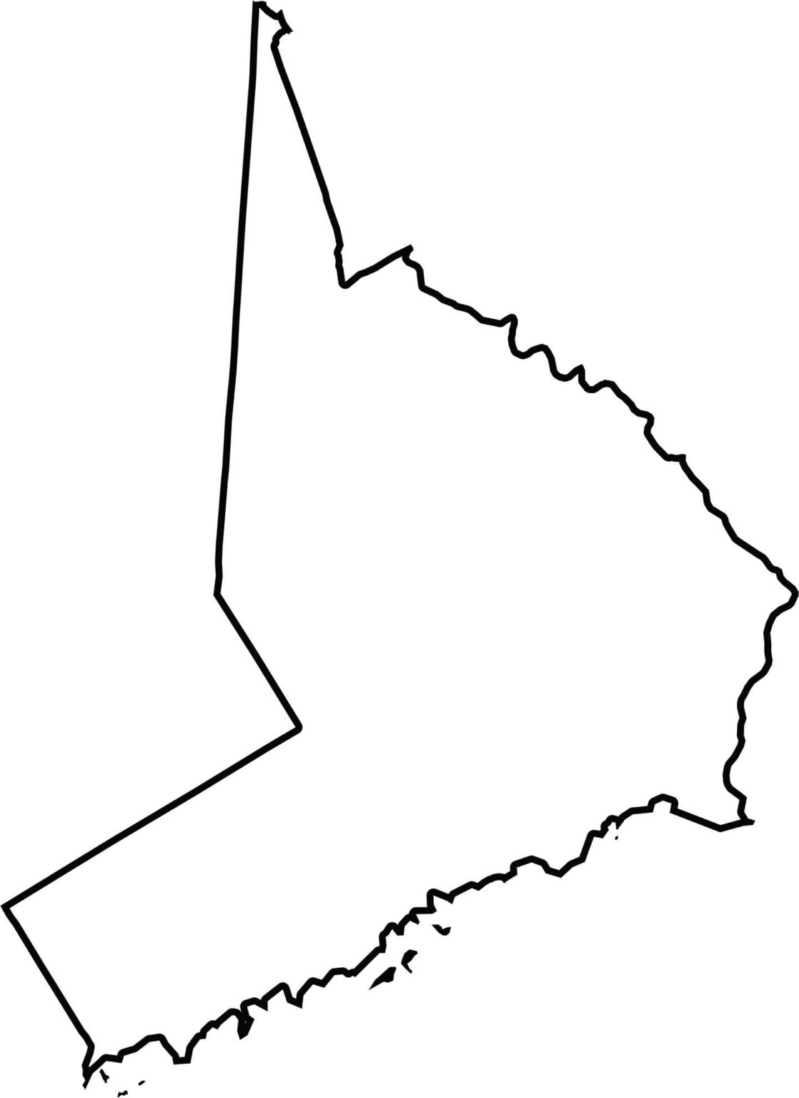
This blank map showcases Fairfield County’s distinctive irregular outline in southwestern Connecticut. Its southern boundary follows the Long Island Sound coastline, while the northern edge meets New York State, providing a clear geographic reference for exploring the county’s location and landscape.
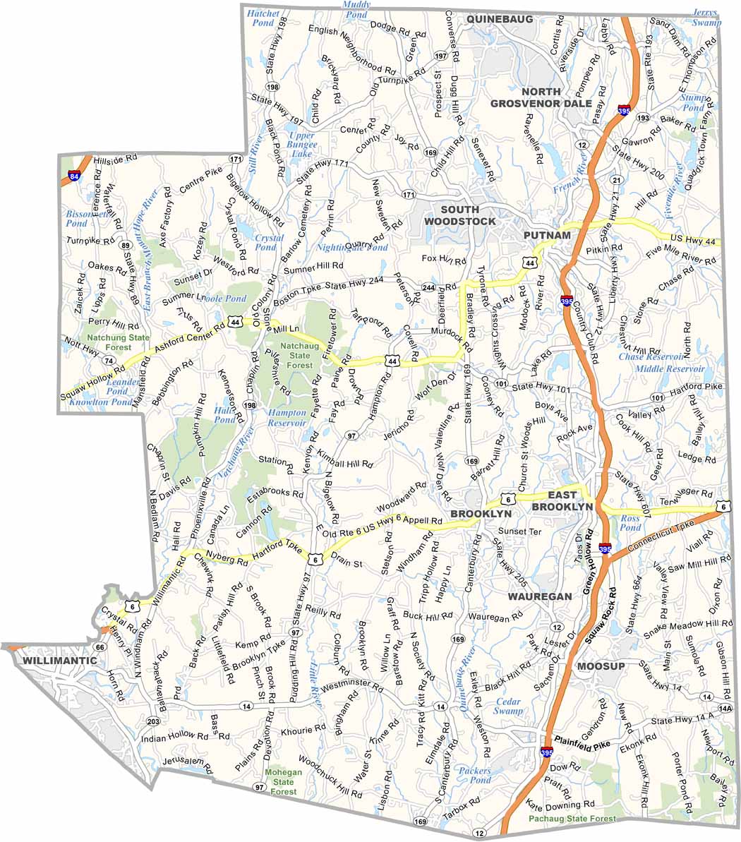
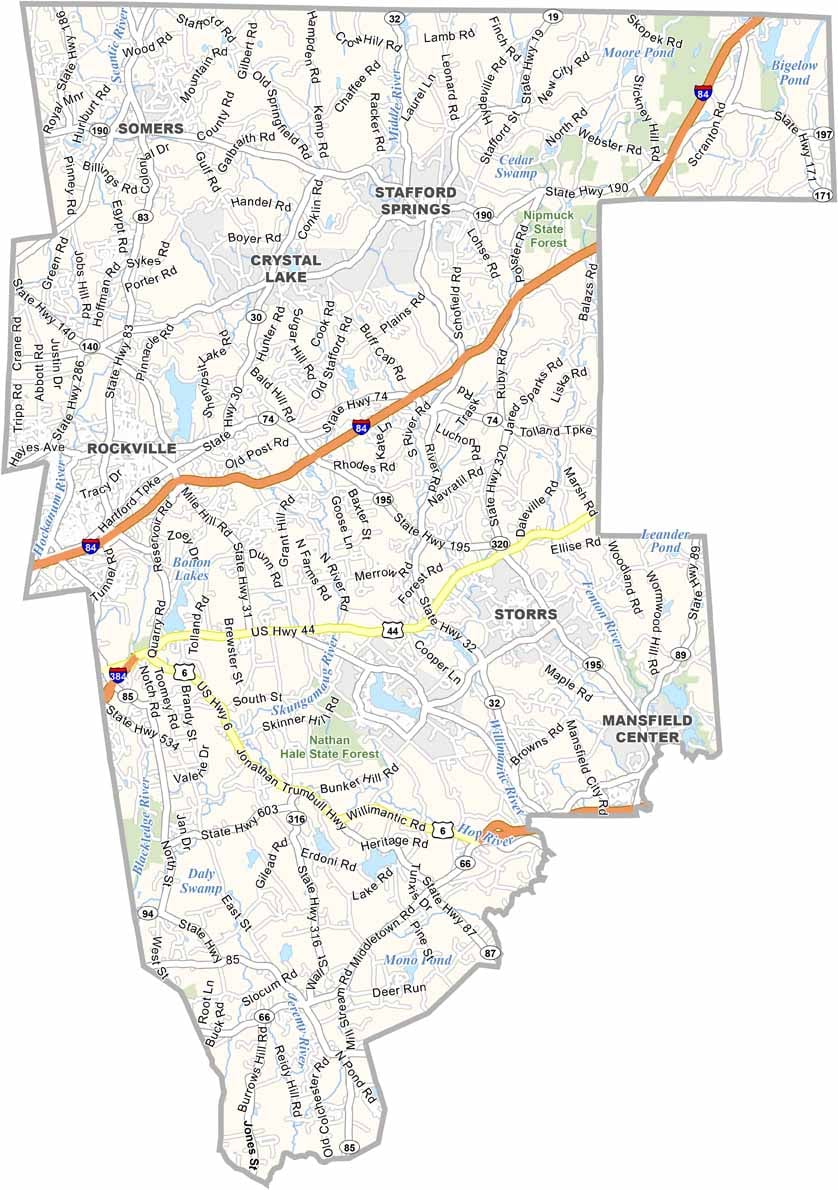
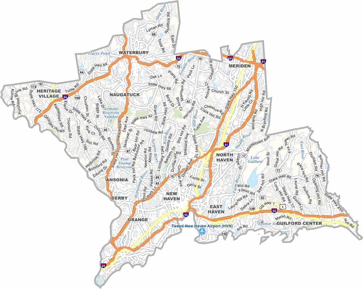
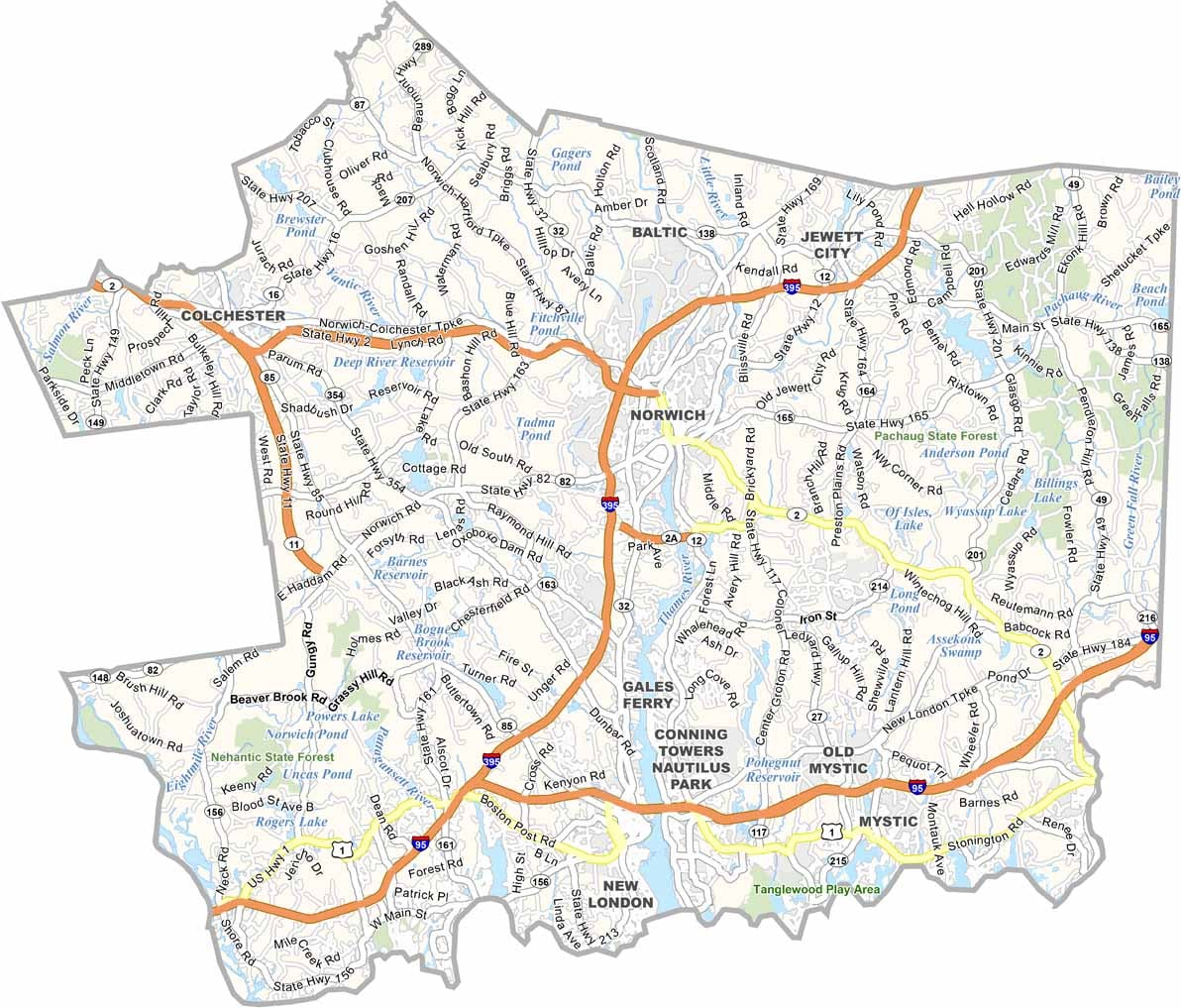
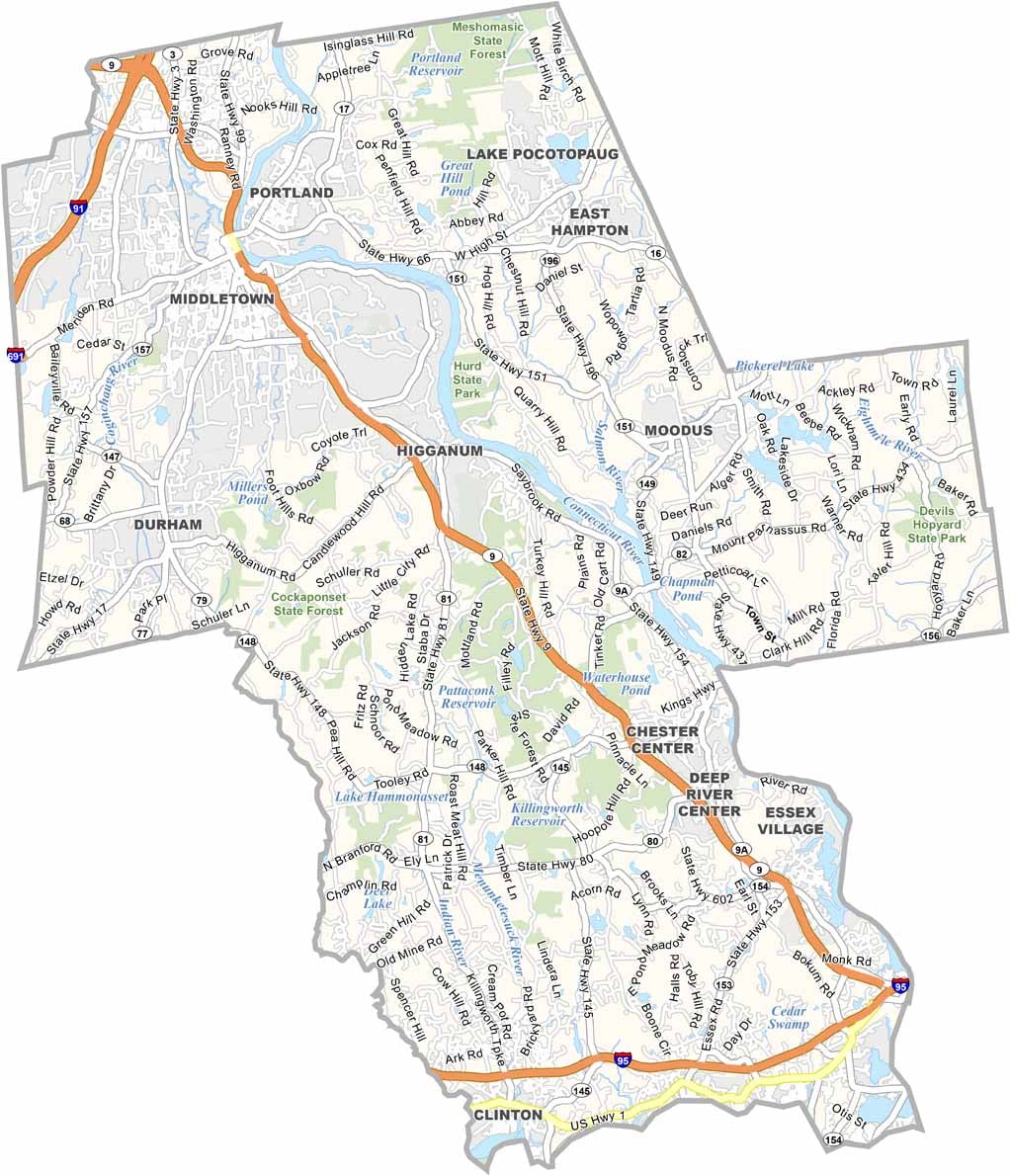
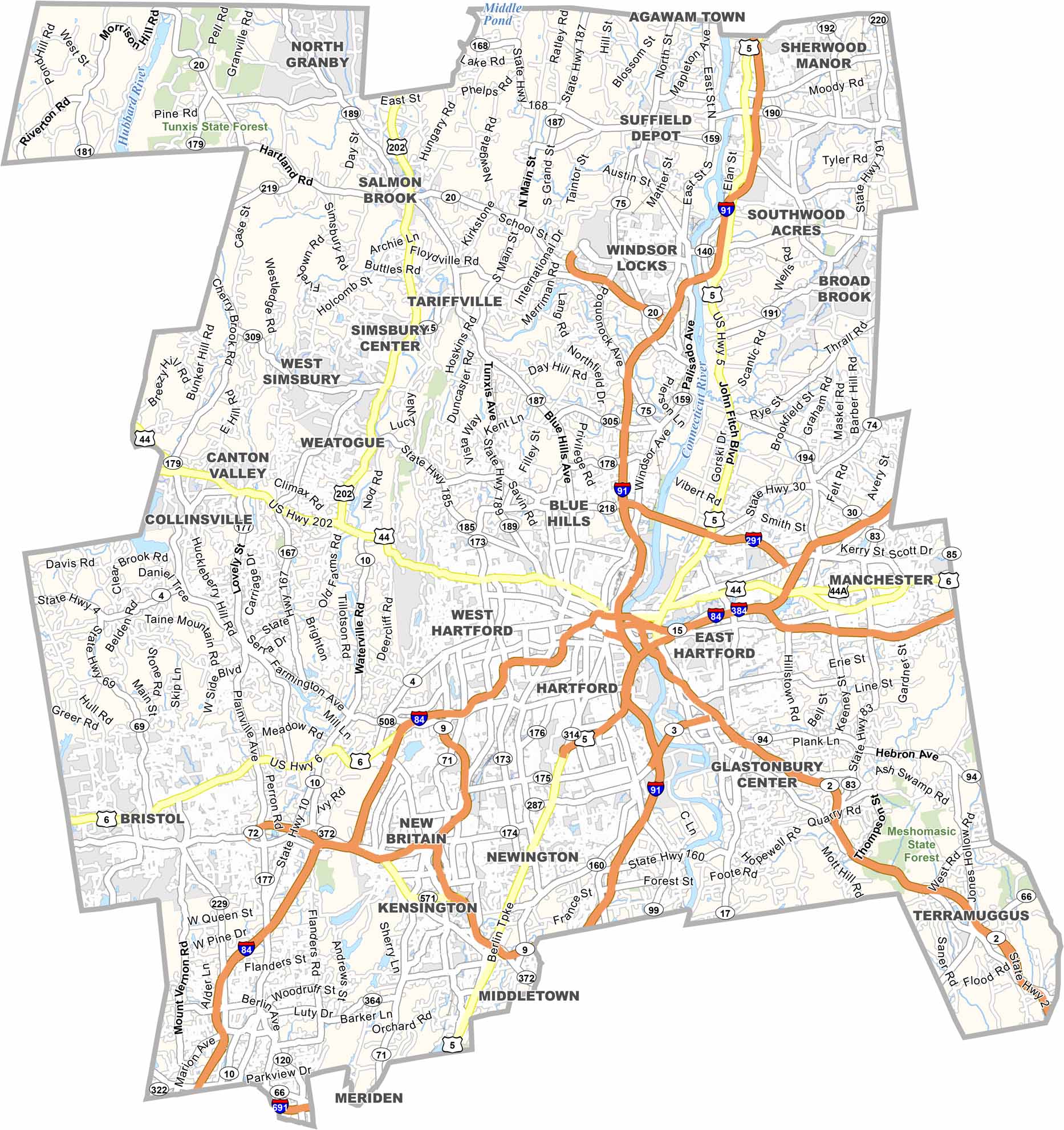
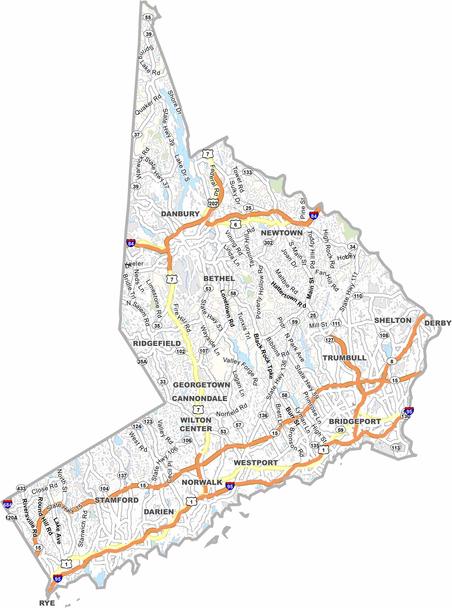
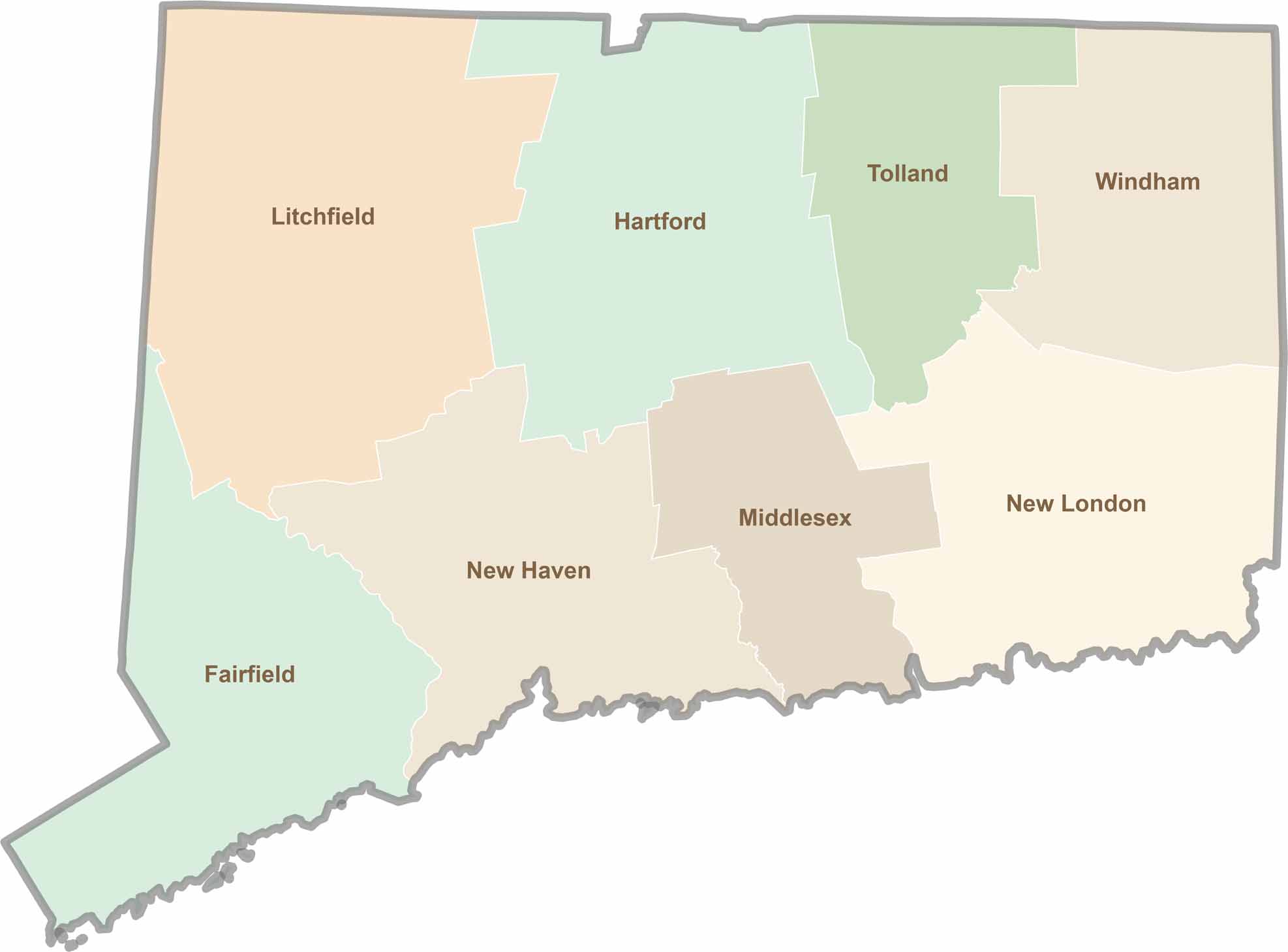
Not sure which Connecticut counties to explore? Each of the state’s eight counties has its own unique character. Our Connecticut county map features topographic, satellite, and outline maps to help you discover every region with ease.