
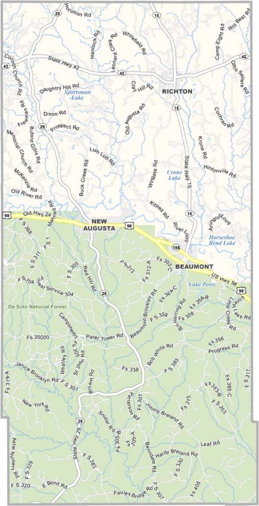
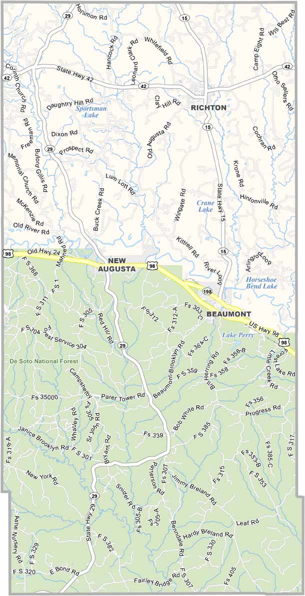
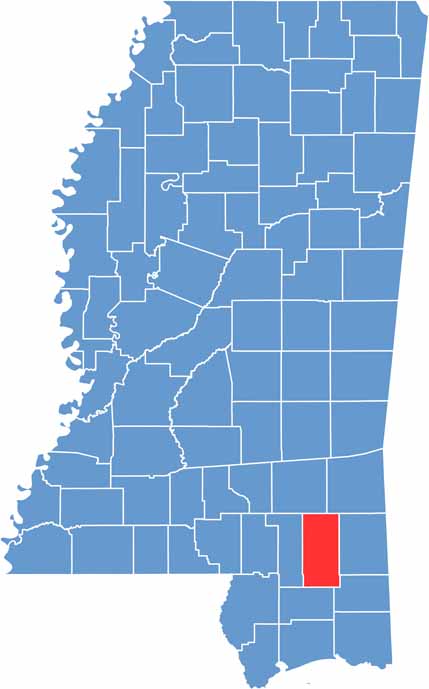
Perry County is tucked away in southeast Mississippi, not far from the coast but far enough to keep things quiet.
New Augusta, the county seat, is small-town living at its finest. The county is named after Oliver Hazard Perry, a naval hero from way back.
You'll see plenty of pine trees around here, and timber has been big business for generations. If you're into the outdoors, Perry County Lake is a favorite spot for canoeing and fishing.

Mississippi Counties
Rankin County Map Download Mississippi – Outline Map and Blank Map

Mississippi Counties
Madison County Map Download Mississippi – Outline Map and Blank Map

Mississippi Counties
Jackson County Map Download Mississippi – Outline Map and Blank Map

Mississippi Counties
Hinds County Map Download Mississippi – Outline Map and Blank Map

Mississippi Counties
Harrison County Map Download Mississippi – Outline Map and Blank Map

Mississippi Counties