
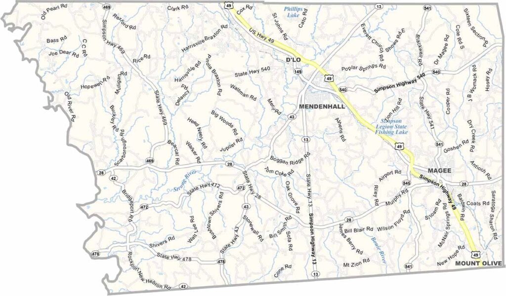
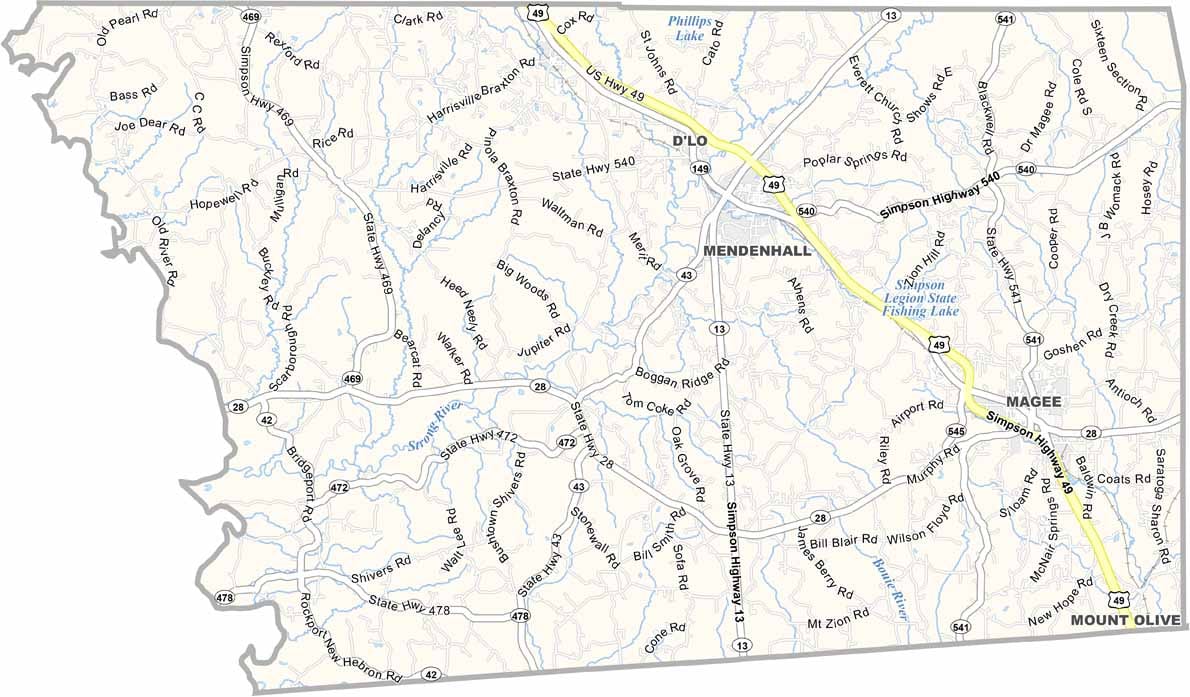
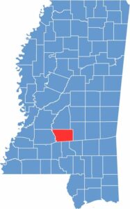
Simpson County sits in the heart of Mississippi, about 30 miles southeast of Jackson. It's classic small-town America, with a dash of Southern charm.
Mendenhall, the county seat, is where most of the action happens. Folks here are proud of their roots and love a good catfish fry.
The Pearl River meanders along the county's western edge, offering spots for fishing and lazy summer afternoons. You'll find plenty of pine forests and rolling hills, perfect for hunting or just getting lost in nature.

Mississippi Counties
Rankin County Map Download Mississippi – Outline Map and Blank Map

Mississippi Counties
Madison County Map Download Mississippi – Outline Map and Blank Map

Mississippi Counties
Jackson County Map Download Mississippi – Outline Map and Blank Map

Mississippi Counties
Hinds County Map Download Mississippi – Outline Map and Blank Map

Mississippi Counties
Harrison County Map Download Mississippi – Outline Map and Blank Map

Mississippi Counties