
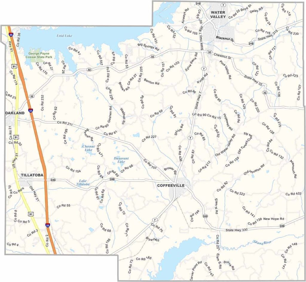
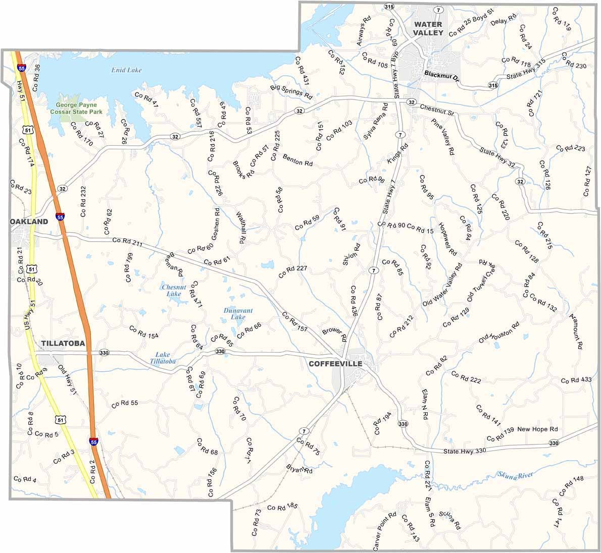
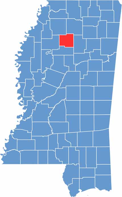
Yalobusha County is in north-central Mississippi. It's named after a Choctaw phrase meaning "tadpole place," which is fitting given all the creeks and ponds on the landscape.
Water Valley and Coffeeville share the county seat duties, two towns that feel like they're straight out of a Southern novel. The county has a bit of everything: farmland, forests, and lakes that draw folks looking to fish or boat.
Enid Lake in the north is a big draw, especially when the crappie are biting. Yalobusha County isn't just about nature, though. The old railroad depot in Water Valley has been turned into a museum that will take you back in time.

Mississippi Counties
Rankin County Map Download Mississippi – Outline Map and Blank Map

Mississippi Counties
Madison County Map Download Mississippi – Outline Map and Blank Map

Mississippi Counties
Jackson County Map Download Mississippi – Outline Map and Blank Map

Mississippi Counties
Hinds County Map Download Mississippi – Outline Map and Blank Map

Mississippi Counties
Harrison County Map Download Mississippi – Outline Map and Blank Map

Mississippi Counties