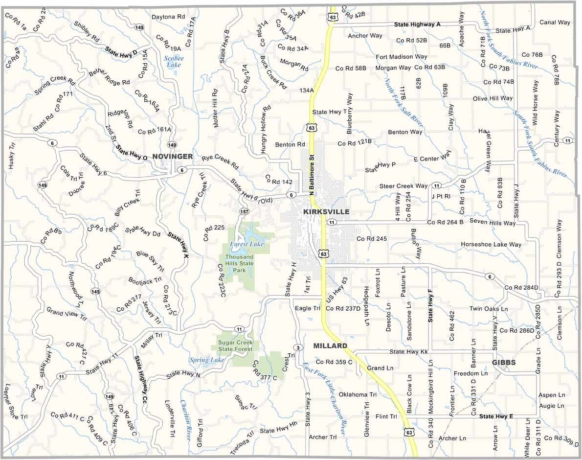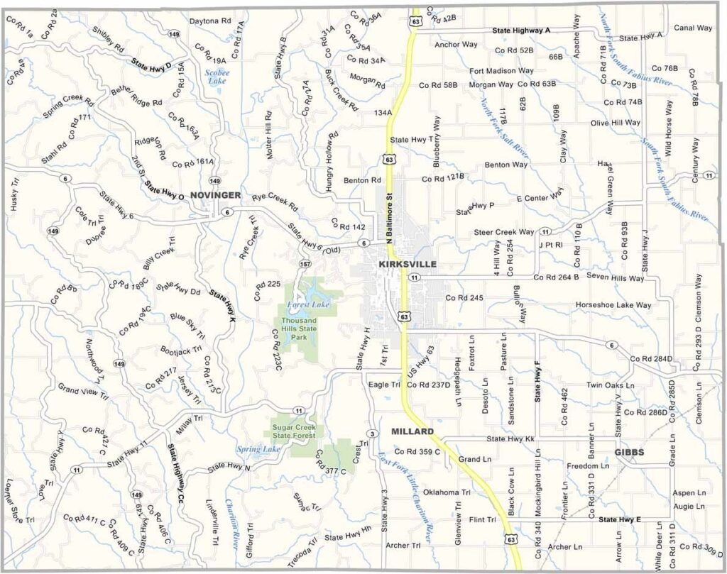
Adair County, Missouri

Audrain County is located in northeastern Missouri, roughly midway between St. Louis and Kansas City. The county seat, Mexico, is a welcoming community with a unique name and plenty of small-town charm.

Agriculture plays a major role in the local economy, thanks to the area's fertile soil. Corn and soybeans are among the most important crops, and farming remains a way of life for many residents throughout the county.

But Audrain County offers more than farmland. Downtown Mexico features historic brick buildings, local shops, and antique stores that reflect the area's heritage. For outdoor recreation, residents and visitors enjoy spending time at Lakeview Park, a popular spot for relaxation and community events.
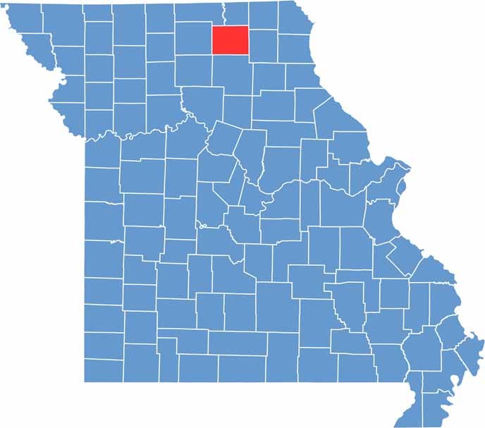

Adair County location map showing the county's position within Missouri.
Category Details
County Name Adair County
County Seat Kirksville
Cities, Towns, and Communities Kirksville, Novinger, Brashear, Millard, Gibbs
Interstates and Highways US 63, MO 6, MO 11
Population Approximately 26,000
FIPS Code 29-001
Total Area (Land and Water) 569 square miles (Land: 567 sq mi, Water: 2 sq mi)
Time Zone Central Time Zone (CT)
State Missouri
Coordinates 40.1901° N, 92.6007° W
Etymology Named after John Adair, a Governor of Kentucky
Major Landmarks Thousand Hills State Park, Truman State University, Adair County Historical Society Museum
Adjacent Counties (and Direction) Putnam County (Northwest), Schuyler County (North), Scotland County (Northeast), Knox County (East), Macon County (South), Linn County (Southwest), Sullivan County (West)
Scroll to Top