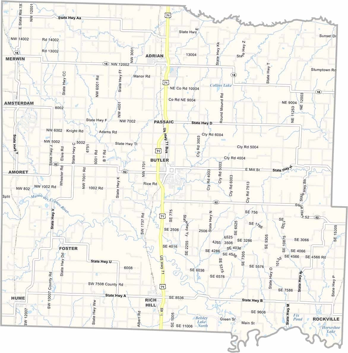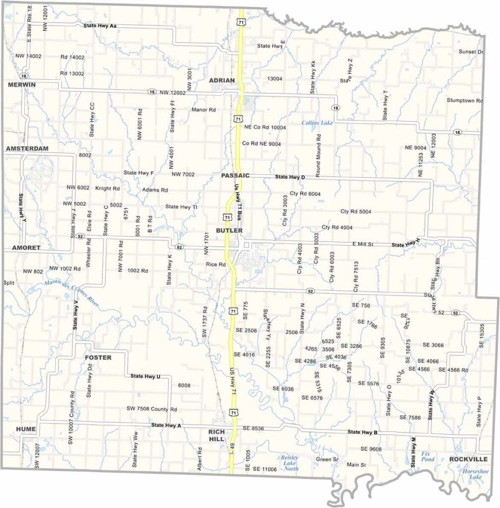
Bates County, Missouri

Bates County is located along Missouri’s western border with Kansas. Agriculture is a way of life here, with rolling hills, wide-open fields, and productive farmland defining much of the landscape.

The county seat, Butler, is a close-knit community known for its welcoming atmosphere. History enthusiasts may recognize Bates County for its role in the American Civil War, during which several skirmishes took place in the area.

Today, Bates County offers a peaceful rural setting with opportunities for fishing, boating, and other outdoor recreation at nearby lakes and reservoirs. Visitors can also enjoy the region’s strong barbecue tradition, a local favorite that reflects the flavors and hospitality of western Missouri.
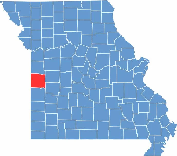

Bates County location map showing the county's position within Missouri.
Category Details
County Name Bates County
County Seat Butler
Cities, Towns, and Communities Butler, Adrian, Rich Hill, Amsterdam, Hume, Amoret, Foster, Passaic
Interstates and Highways I-49, US 71, MO 18, MO 52
Population Approximately 17,000
FIPS Code 29-013
Total Area (Land and Water) 851 square miles (Land: 837 sq mi, Water: 14 sq mi)
Time Zone Central Time Zone (CT)
State Missouri
Coordinates 38.2519° N, 94.3261° W
Etymology Named after Frederick Bates, the second Governor of Missouri
Major Landmarks Butler Historic District, Osage Village State Historic Site, Poplar Heights Living History Farm
Adjacent Counties (and Direction) Cass County (North), Henry County (Northeast), St. Clair County (Southeast), Vernon County (South), Linn County, Kansas (West), Miami County, Kansas (Northwest)
Scroll to Top