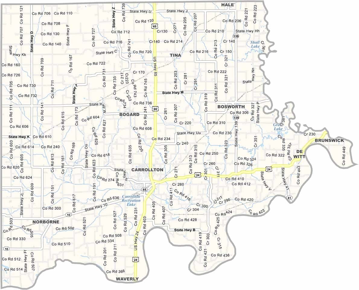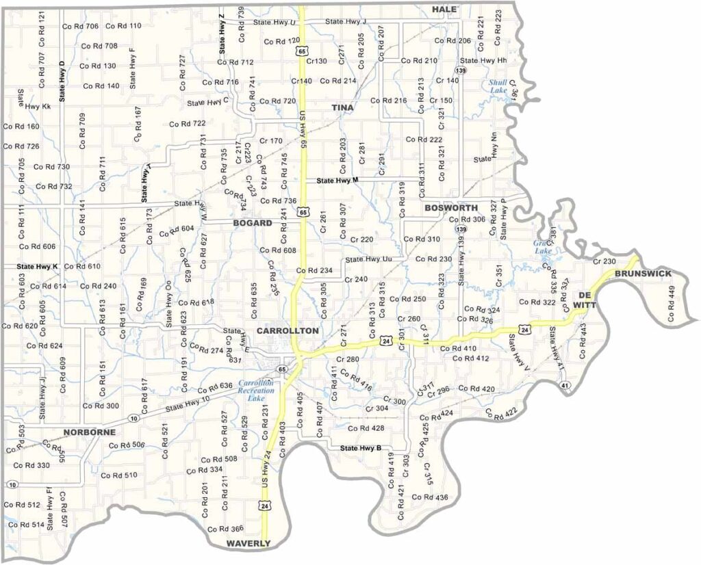
Carroll County, Missouri

Carroll County is situated in north-central Missouri, with the Grand River forming much of its eastern boundary. Agriculture is at the heart of life here, and expansive fields of corn and soybeans dominate the landscape.

The county seat, Carrollton, embodies the charm of small-town America. Friendly neighbors, local diners, and family-owned businesses help create a welcoming atmosphere. The county is home to approximately 8,600 residents.

Outdoor traditions remain an important part of life in Carroll County. Hunting is especially popular, with deer and turkey seasons drawing hunters from across the region. Quiet, scenic, and deeply rooted in agriculture.
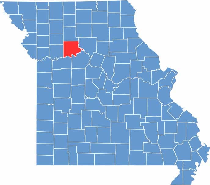

Carroll County location map showing the county's position within Missouri.
Category Details
County Name Carroll County
County Seat Carrollton
Cities, Towns, and Communities Carrollton, Norborne, Bosworth, De Witt, Hale, Bogard
Interstates and Highways US 24, MO 10, MO 65, MO 139
Population Approximately 8,500
FIPS Code 29-033
Total Area (Land and Water) 701 square miles (Land: 694 sq mi, Water: 7 sq mi)
Time Zone Central Time Zone (CT)
State Missouri
Coordinates 39.4453° N, 93.5001° W
Etymology Named after Charles Carroll of Carrollton, a signer of the Declaration of Independence
Major Landmarks Carroll County Courthouse, Carrollton Historic District, Wakonda State Park
Adjacent Counties (and Direction) Livingston County (North), Chariton County (East), Saline County (Southeast), Lafayette County (Southwest), Ray County (West), Caldwell County (Northwest)
Scroll to Top