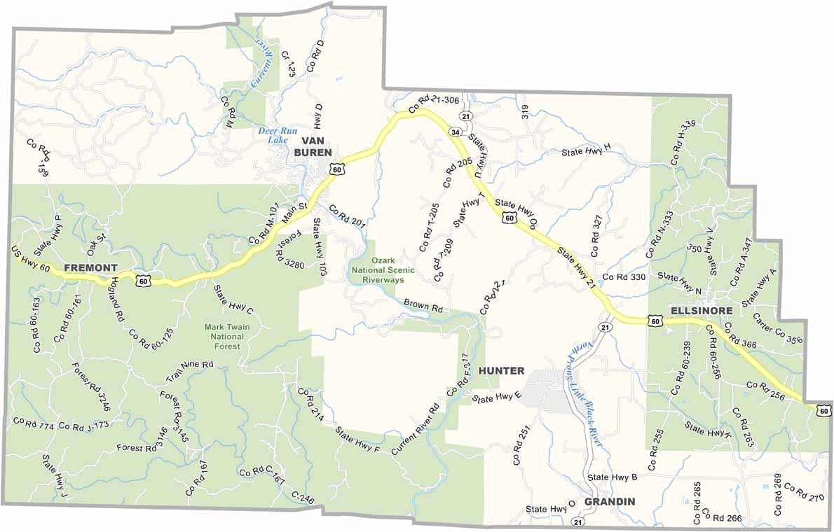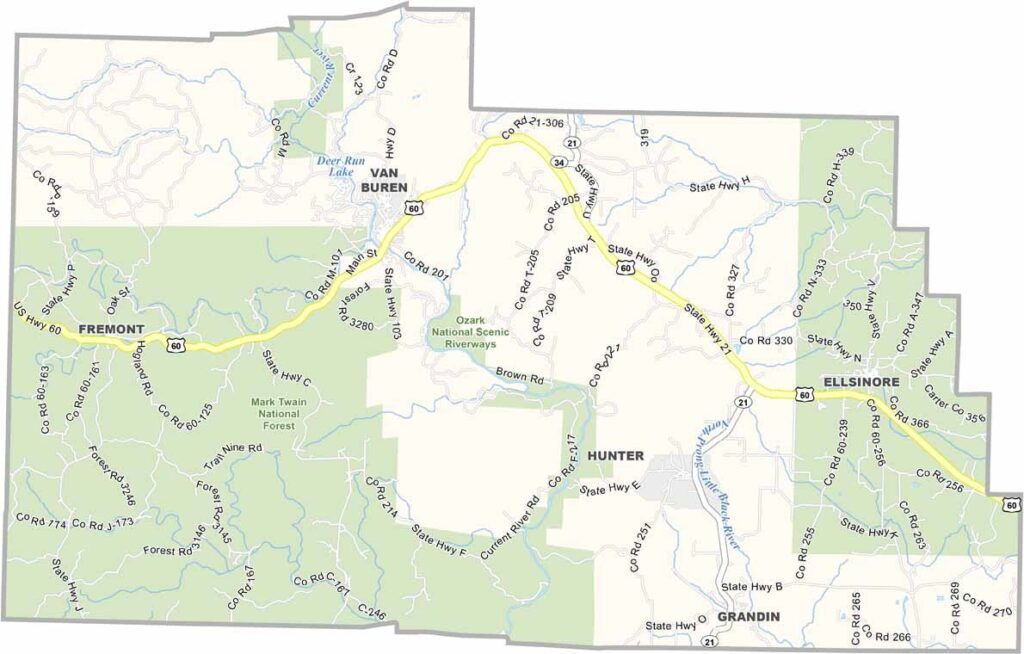
Carter County, Missouri

Carter County lies in the Ozark Highlands of southeastern Missouri and is a haven for outdoor enthusiasts. The Current River flows through the county, attracting visitors who come to float, fish, and enjoy its clear waters.

Hikers are drawn to the Ozark Trail, while much of the county’s southwestern area is covered by Mark Twain National Forest. The county seat, Van Buren, is a small community with a population of about 800 residents.

With only around 5,200 people living in the entire county, Carter County remains rural, scenic, and largely untouched. Logging and tourism are important economic drivers, but the county’s greatest asset is its natural beauty.
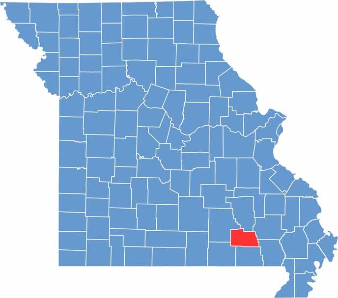

Carter County location map showing the county's position within Missouri.
Category Details
County Name Carter County
County Seat Van Buren
Cities, Towns, and Communities Van Buren, Grandin, Hunter, Fremont, Elsinore
Interstates and Highways US 60, MO 21, MO 103
Population Approximately 5,200
FIPS Code 29-035
Total Area (Land and Water) 509 square miles (Land: 507 sq mi, Water: 2 sq mi)
Time Zone Central Time Zone (CT)
State Missouri
Coordinates 36.9476° N, 90.9634° W
Etymology Named after Zimri A. Carter, a pioneer settler
Major Landmarks Current River, Big Spring, Ozark National Scenic Riverways
Adjacent Counties (and Direction) Reynolds County (North), Wayne County (Northeast), Butler County (Southeast), Ripley County (South), Oregon County (Southwest), Shannon County (West)
Scroll to Top