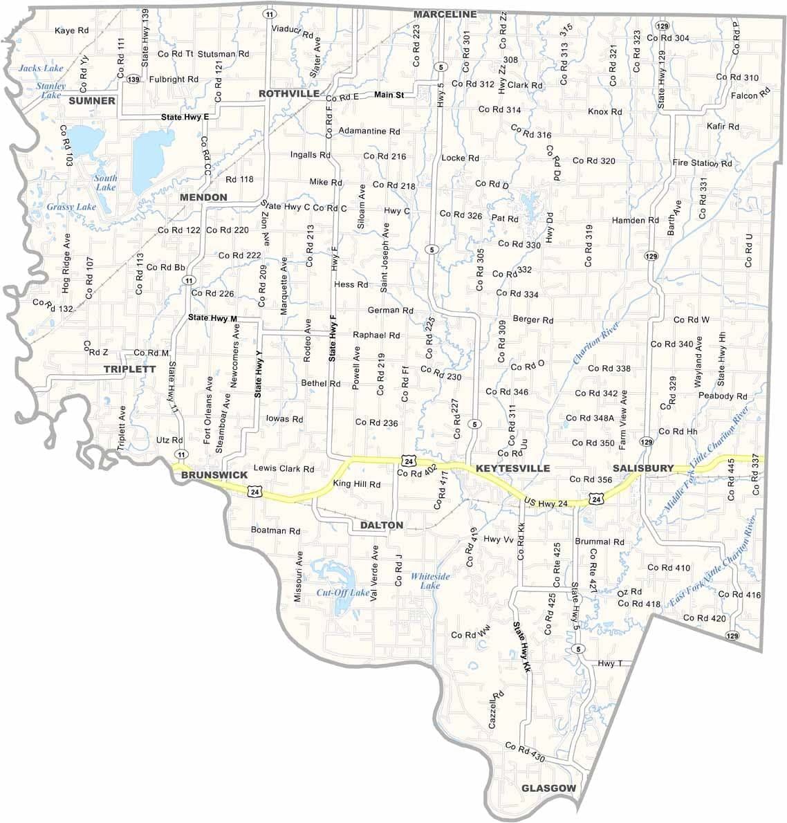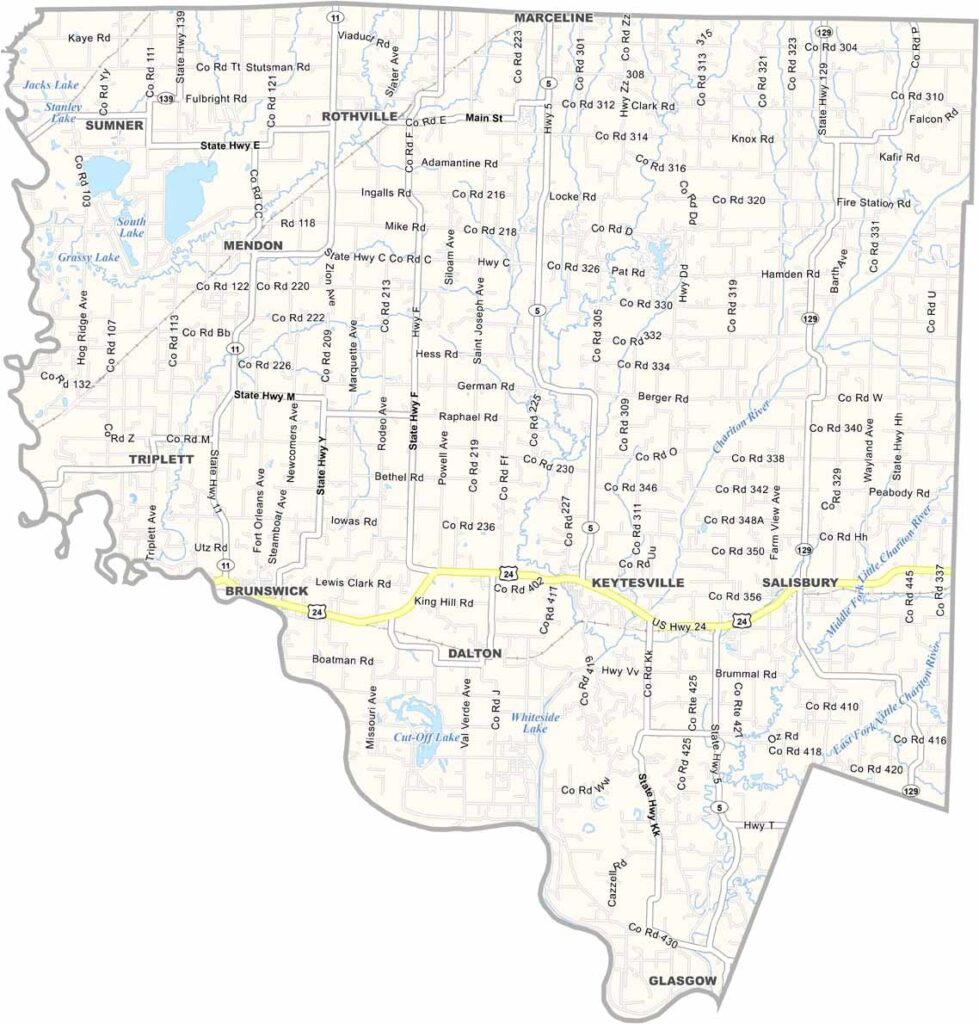
Free Blank Virginia Map

Chariton County is located in north-central Missouri, where fertile farmland stretches across much of the landscape. Agriculture is the backbone of the local economy, with rich soils supporting a variety of crops and farming operations.

The county seat, Keytesville, is known as the hometown of Sterling Price. The county takes its name from the Chariton River, which meanders through the region and helps shape its character.

While farming dominates the countryside, Chariton County also features scenic wooded areas along its river bottoms. These forests provide excellent habitat for wildlife, making hunting a popular pastime, particularly during deer season.
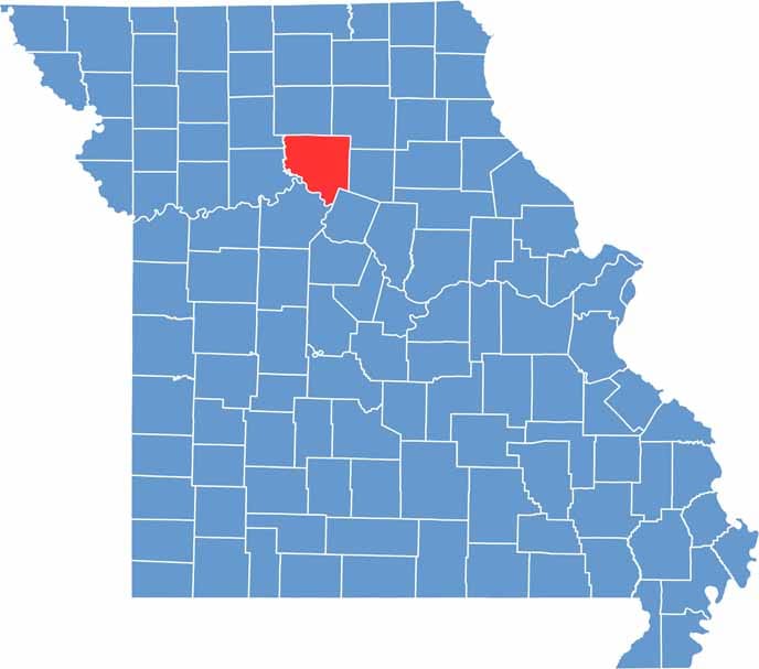

Chariton County location map showing the county's position within Missouri.
Category Details
County Name Chariton County
County Seat Keytesville
Cities, Towns, and Communities Keytesville, Salisbury, Brunswick, Mendon, Sumner, Triplett, Dalton, Rothville
Interstates and Highways US 24, MO 5, MO 11, MO 129
Population Approximately 7,500
FIPS Code 29-041
Total Area (Land and Water) 767 square miles (Land: 751 sq mi, Water: 16 sq mi)
Time Zone Central Time Zone (CT)
State Missouri
Coordinates 39.5219° N, 92.9478° W
Etymology Named after the Chariton River, which flows through the county
Major Landmarks Swan Lake National Wildlife Refuge, Chariton County Courthouse, Mussel Fork Conservation Area
Adjacent Counties (and Direction) Linn County (North), Macon County (Northeast), Randolph County (East), Howard County (Southeast), Saline County (Southwest), Carroll County (West), Livingston County (Northwest)
Scroll to Top