
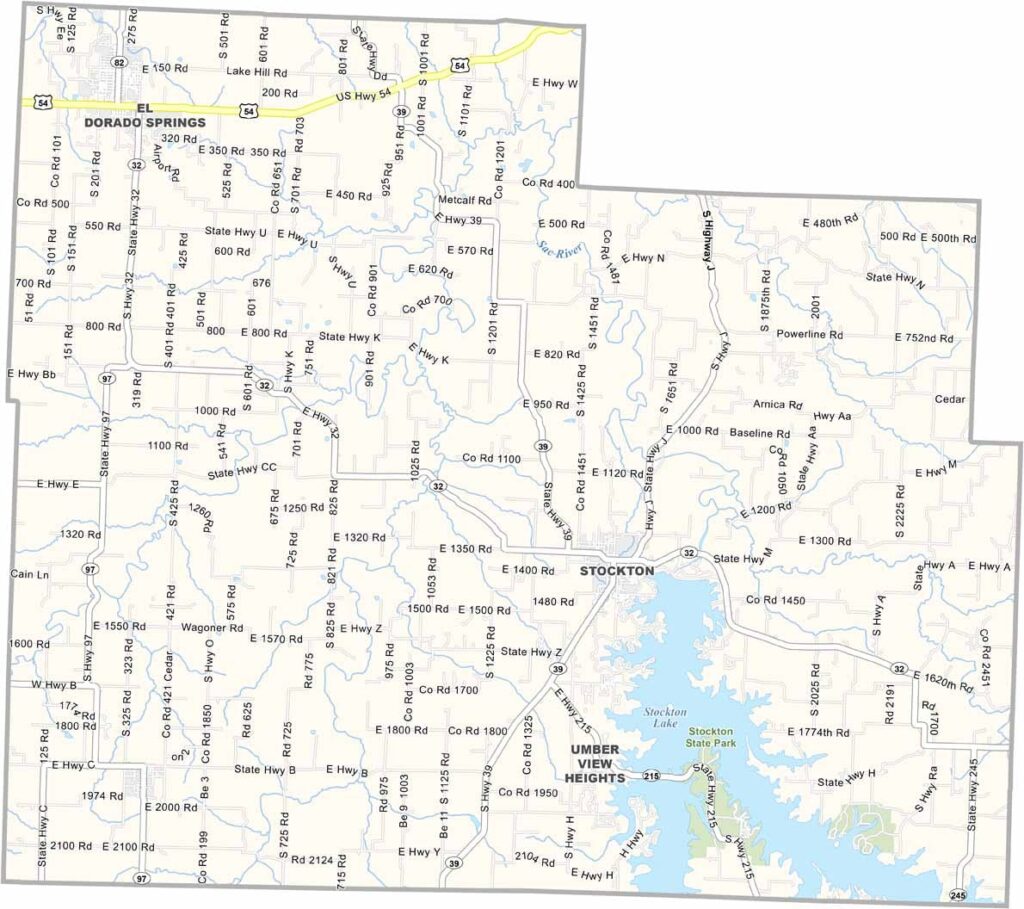
Cedar County, Missouri

Cedar County is located in southwest Missouri, nestled in the heart of the Ozarks. It may not be one of the state’s largest counties, but it offers plenty of charm and natural beauty.

The county seat, Stockton, serves as a gateway to outdoor recreation. Cedar County takes its name from the cedar trees that once covered much of the area, though today it is perhaps best known for its lake.

Stockton Lake is a major attraction, drawing boaters, anglers, and outdoor enthusiasts from across the region. Residents take pride in the county’s rich heritage, and reminders of the American Civil War can still be found throughout the area for those who know where to look.
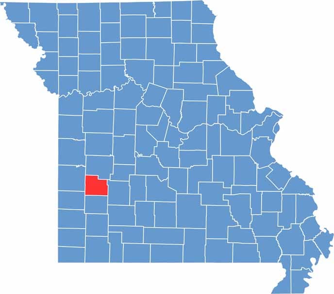

Cedar County location map showing the county's position within Missouri.
Category Details
County Name Cedar County
County Seat Stockton
Cities, Towns, and Communities Stockton, El Dorado Springs, Jerico Springs, Umber View Heights, Arnica
Interstates and Highways MO 46, MO 169
Population Approximately 15,000
FIPS Code 29-039
Total Area (Land and Water) 499 square miles (Land: 474 sq mi, Water: 25 sq mi)
Time Zone Central Time Zone (CT)
State Missouri
Coordinates 37.7644° N, 93.8480° W
Etymology Named after the eastern red cedar tree, which is common in the area
Major Landmarks Stockton Lake, Stockton State Park, El Dorado Springs Historic District
Adjacent Counties (and Direction) St. Clair County (North), Polk County (East), Dade County (South), Vernon County (West)
Scroll to Top


