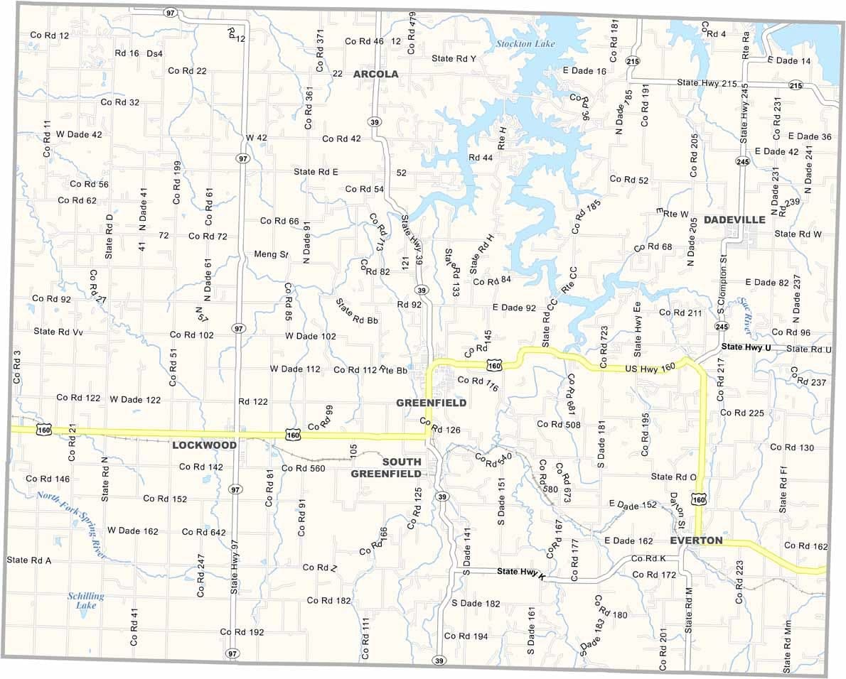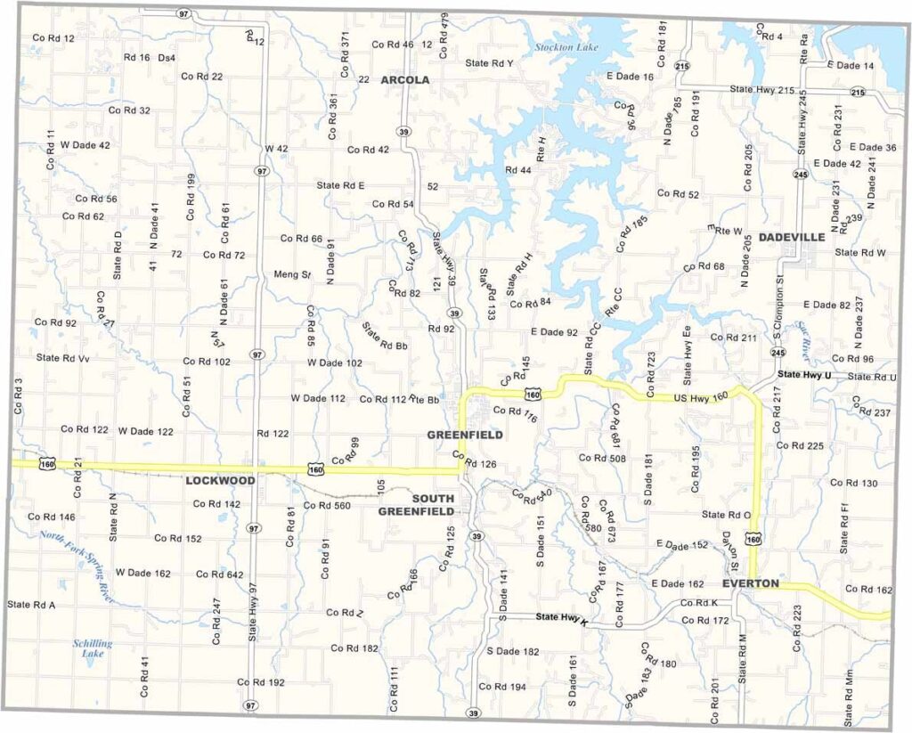
Dade County, Missouri

Dade County is located in southwest Missouri, where agriculture plays a major role in everyday life. Corn and soybeans are among the county’s leading crops, and the rural landscape is defined by productive farmland and open countryside. The largest city and county seat is Greenfield.

The county is known for its unique Civil War history. During the American Civil War, Dade County briefly separated itself from the Union before Missouri officially seceded, earning the nickname “Orphan County.”

Today, Dade County offers a quiet, relaxed lifestyle that appeals to those seeking a slower pace. With Stockton Lake nearby, residents and visitors can enjoy fishing, boating, and scenic outdoor recreation throughout the year.
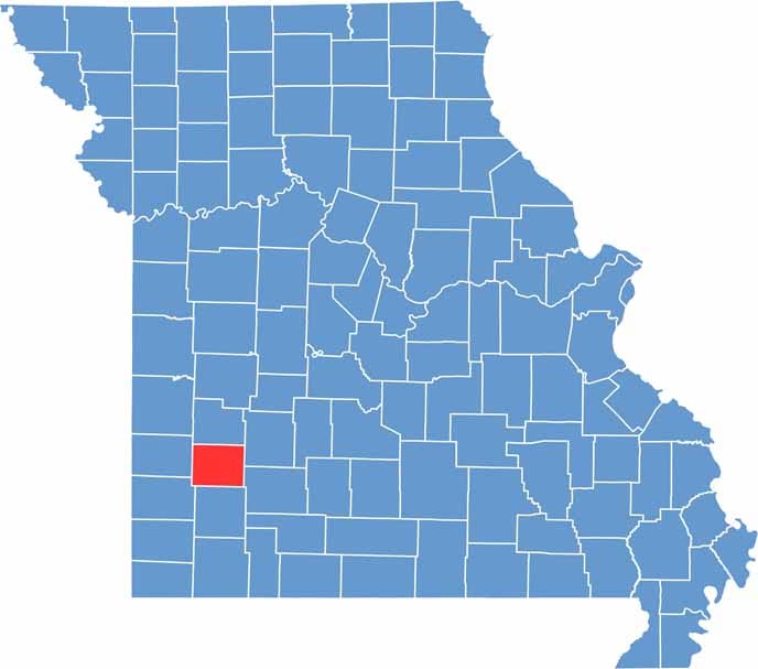

Dade County Location Map Missouri
Category Details
County Name Dade County
County Seat Greenfield
Cities, Towns, and Communities Greenfield, Lockwood, South Greenfield, Everton, Dadeville, Arcola
Interstates and Highways MO 97, MO 160, MO 39
Population Approximately 7,500
FIPS Code 29-057
Total Area (Land and Water) 506 square miles (Land: 490 sq mi, Water: 16 sq mi)
Time Zone Central Time Zone (CT)
State Missouri
Coordinates 37.4161° N, 93.8455° W
Etymology Named after Major Francis L. Dade, who was killed in the Second Seminole War
Major Landmarks Stockton Lake, Hulston Mill Historic Park, Dade County Courthouse
Adjacent Counties (and Direction) Cedar County (North), Polk County (Northeast), Greene County (Southeast), Lawrence County (South), Jasper County (Southwest), Barton County (West)
Scroll to Top