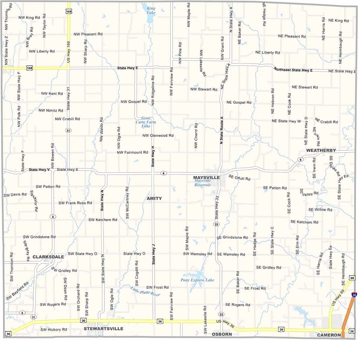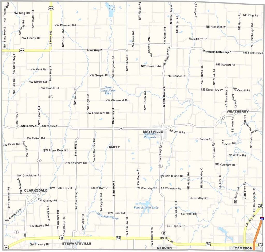
DeKalb County, Missouri

DeKalb County offers a glimpse of rural life in northwest Missouri. Located about an hour north of Kansas City, the county is anchored by its seat, Maysville, a small community of around 1,100 residents.

Agriculture is the backbone of the local economy, with corn, soybeans, and cattle playing leading roles. The landscape ranges from flat to gently rolling, creating picturesque scenery, especially during the colorful fall season.

Fishing is a favorite pastime at Pony Express Lake, while history enthusiasts appreciate the area's ties to the historic Pony Express. With a population of roughly 11,000 people, DeKalb County maintains a quiet, close-knit rural character.
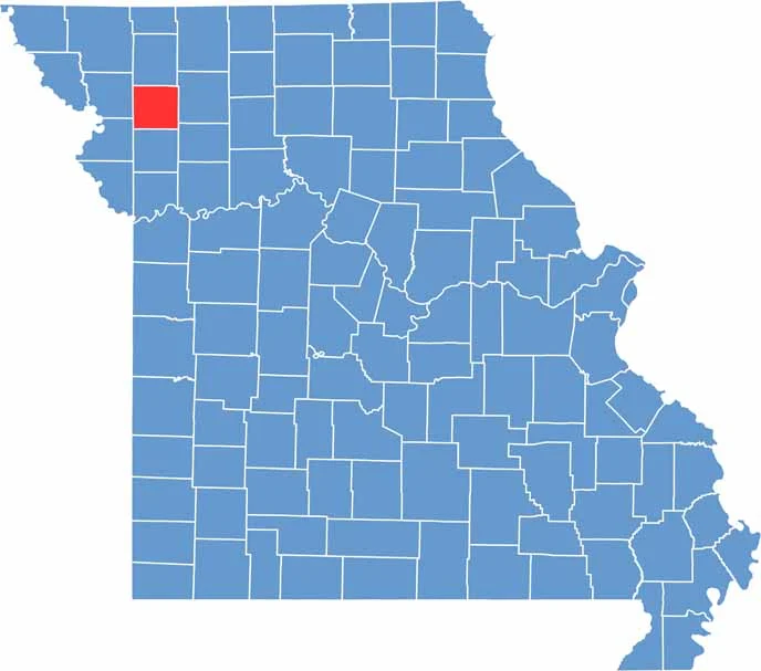

DeKalb County Location Map Missouri
Category Details
County Name DeKalb County
County Seat Maysville
Cities, Towns, and Communities Maysville, Cameron (part), Osborn, Union Star, Clarksdale, Amity, Weatherby
Interstates and Highways US 36, MO 6, MO 31, MO 33
Population Approximately 11,000
FIPS Code 29-063
Total Area (Land and Water) 426 square miles (Land: 424 sq mi, Water: 2 sq mi)
Time Zone Central Time Zone (CT)
State Missouri
Coordinates 39.8830° N, 94.3611° W
Etymology Named after Johann de Kalb, a German soldier who served as a major general in the American Revolution War
Major Landmarks Pony Express Lake Conservation Area, Grindstone Lake Conservation Area, DeKalb County Courthouse
Adjacent Counties (and Direction) Gentry County (North), Daviess County (East), Caldwell County (Southeast), Clinton County (South), Buchanan County (Southwest), Andrew County (West)
Scroll to Top