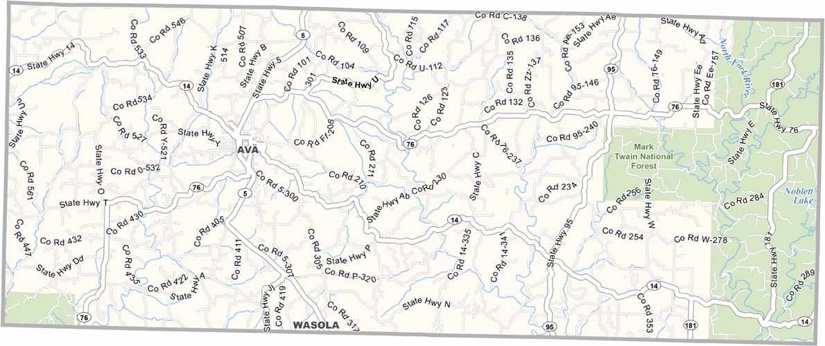
Douglas County, Missouri

Douglas County lies in south-central Missouri, where rolling hills stretch across the landscape and clear streams wind through the countryside. Residents value close-knit communities and take pride in the natural beauty around them.

The county seat, Ava, is a small town with a welcoming spirit. In these parts, cattle often outnumber people, and hunting and fishing are a way of life for many locals.

On weekends, both residents and visitors explore the trails of Mark Twain National Forest to the east. The region is also famous for its champion trees, including some of the largest specimens found anywhere in the state.
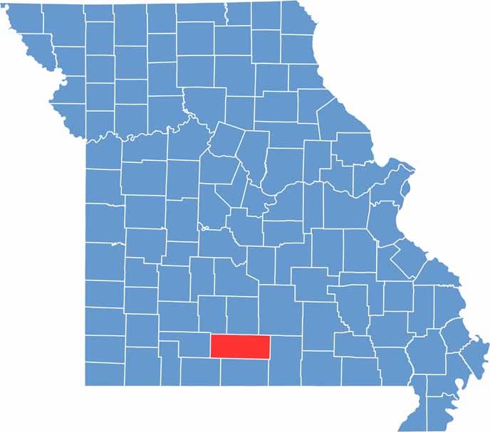

Douglas Location Map showing locations and geographic features in Missouri.
Category Details
County Name Douglas County
County Seat Ava
Cities, Towns, and Communities Ava, Squires, Vanzant, Drury, Gentryville, Goodhope, Rome, Wasola
Interstates and Highways MO 5, MO 14, MO 76, MO 95
Population Approximately 13,000
FIPS Code 29-227
Total Area (Land and Water) 815 square miles (Land: 814 sq mi, Water: 1 sq mi)
Time Zone Central Time Zone (CT)
State Missouri
Coordinates 36.9568° N, 92.6580° W
Etymology Named after Stephen A. Douglas, an American politician from Illinois
Major Landmarks Mark Twain National Forest, Ava Veterans Memorial Park, Bryant Creek State Park
Adjacent Counties (and Direction) Webster County (Northwest), Wright County (North), Texas County (Northeast), Howell County (East), Ozark County (South), Taney County (Southwest), Christian County (West)

Scroll to Top