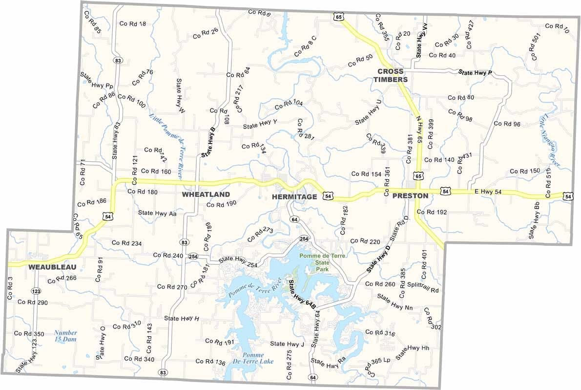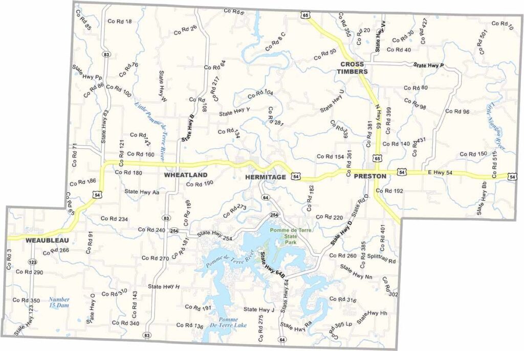
Hickory County, Missouri

Hickory County is nestled in the heart of Missouri’s Ozark region and is known for its peaceful atmosphere, rolling hills, and heavily forested landscapes. Its quiet rural character is a major part of the county’s appeal.

The county seat, Hermitage, is located near Pomme de Terre Lake, a popular destination for fishing, boating, and other water-based activities. The lake attracts both residents and visitors seeking outdoor recreation.

Historically, logging and agriculture have been important to the local economy, and both industries continue to play a role today. Tourism has also become a significant contributor, thanks to the area's natural beauty and recreational opportunities. Known for its welcoming residents and small-town charm.
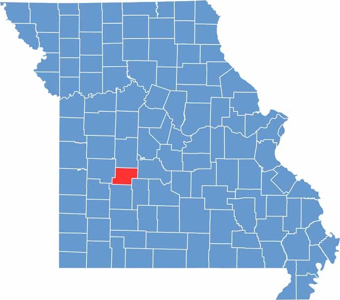

Printable Hickory County Missouri location map showing county location and boundaries
Category Details
County Name Hickory County
County Seat Hermitage
Cities, Towns, and Communities Hermitage, Wheatland, Weaubleau, Cross Timbers, Preston, Pittsburg
Interstates and Highways MO 7, MO 54, MO 83, MO 254
Population Approximately 9,000
FIPS Code 29-085
Total Area (Land and Water) 412 square miles (Land: 399 sq mi, Water: 13 sq mi)
Time Zone Central Time Zone (CT)
State Missouri
Coordinates 37.9359° N, 93.3101° W
Etymology Named after Andrew Jackson’s nickname, “Old Hickory”
Major Landmarks Pomme de Terre Lake, Lucas Oil Speedway, Pomme de Terre State Park
Adjacent Counties (and Direction) Benton County (North), Camden County (East), Dallas County (Southeast), Polk County (South), St. Clair County (West)
Scroll to Top