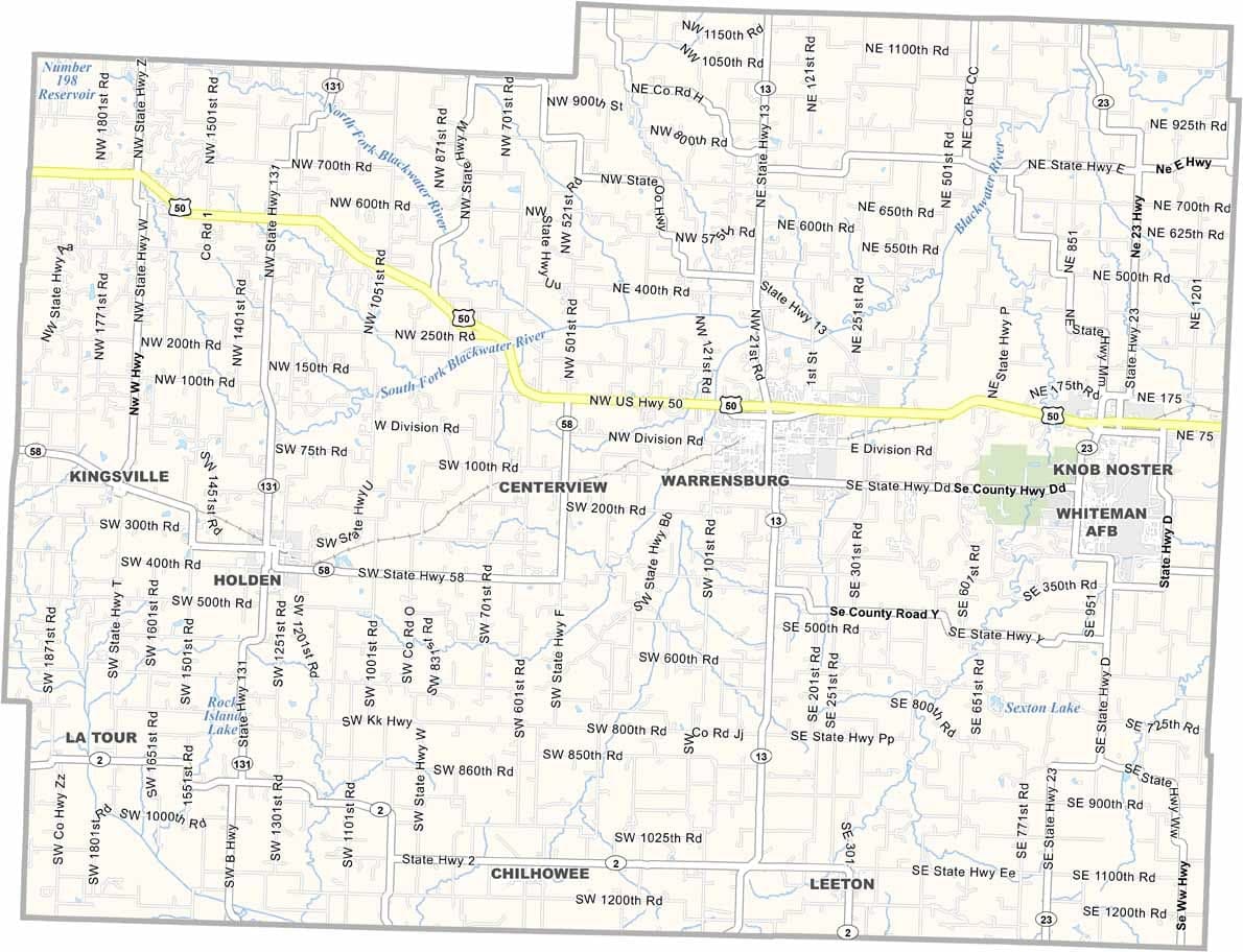
Johnson County, Missouri

Johnson County is located in west-central Missouri, where small communities and expansive rural landscapes blend together. The county offers a balance of agricultural traditions and modern development.

Its economy is supported by both farming and industry, providing a diverse economic base. Outdoor enthusiasts can enjoy recreation at Knob Noster State Park, as well as the county’s lakes, trails, and natural areas.

The county is known for its welcoming residents and strong sense of community. Warrensburg serves as the county seat and brings a vibrant, youthful atmosphere to the region through the presence of University of Central Missouri.
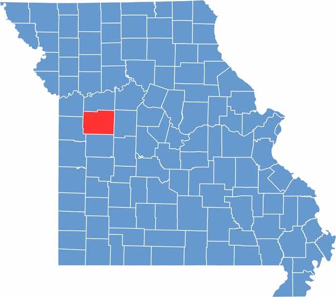

Johnson-Location-Map-Missouri
Category Details
County Name Johnson County
County Seat Warrensburg
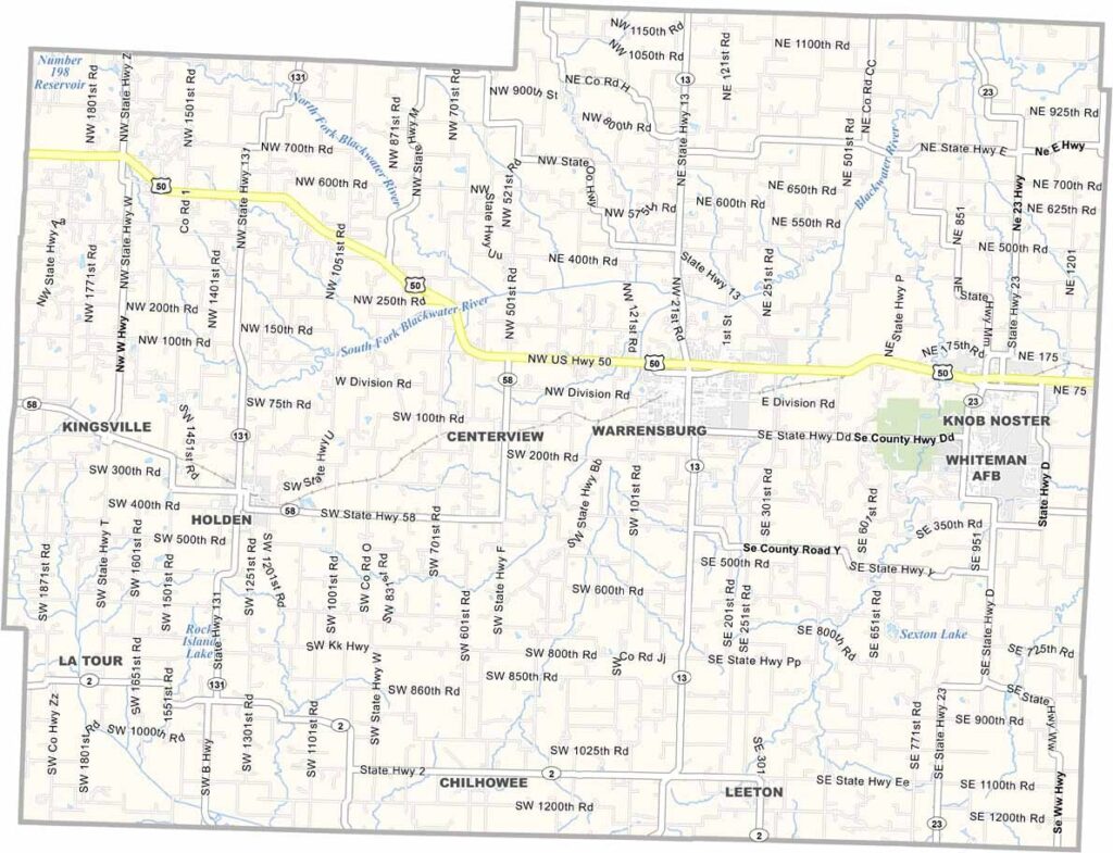
Cities, Towns, and Communities Warrensburg, Knob Noster, Holden, Leeton, Chilhowee, Centerview, Kingsville
Interstates and Highways US 50, MO 13, MO 23, MO 58
Population Approximately 56,000
FIPS Code 29-101
Total Area (Land and Water) 833 square miles (Land: 829 sq mi, Water: 4 sq mi)
Time Zone Central Time Zone (CT)
State Missouri
Coordinates 38.7608° N, 93.8045° W
Etymology Named after Richard Mentor Johnson, the ninth Vice President of the United States
Major Landmarks University of Central Missouri, Knob Noster State Park, Powell Gardens
Adjacent Counties (and Direction) Lafayette County (North), Pettis County (East), Henry County (South), Cass County (West), Jackson County (Northwest)
Scroll to Top