Madison County, Missouri

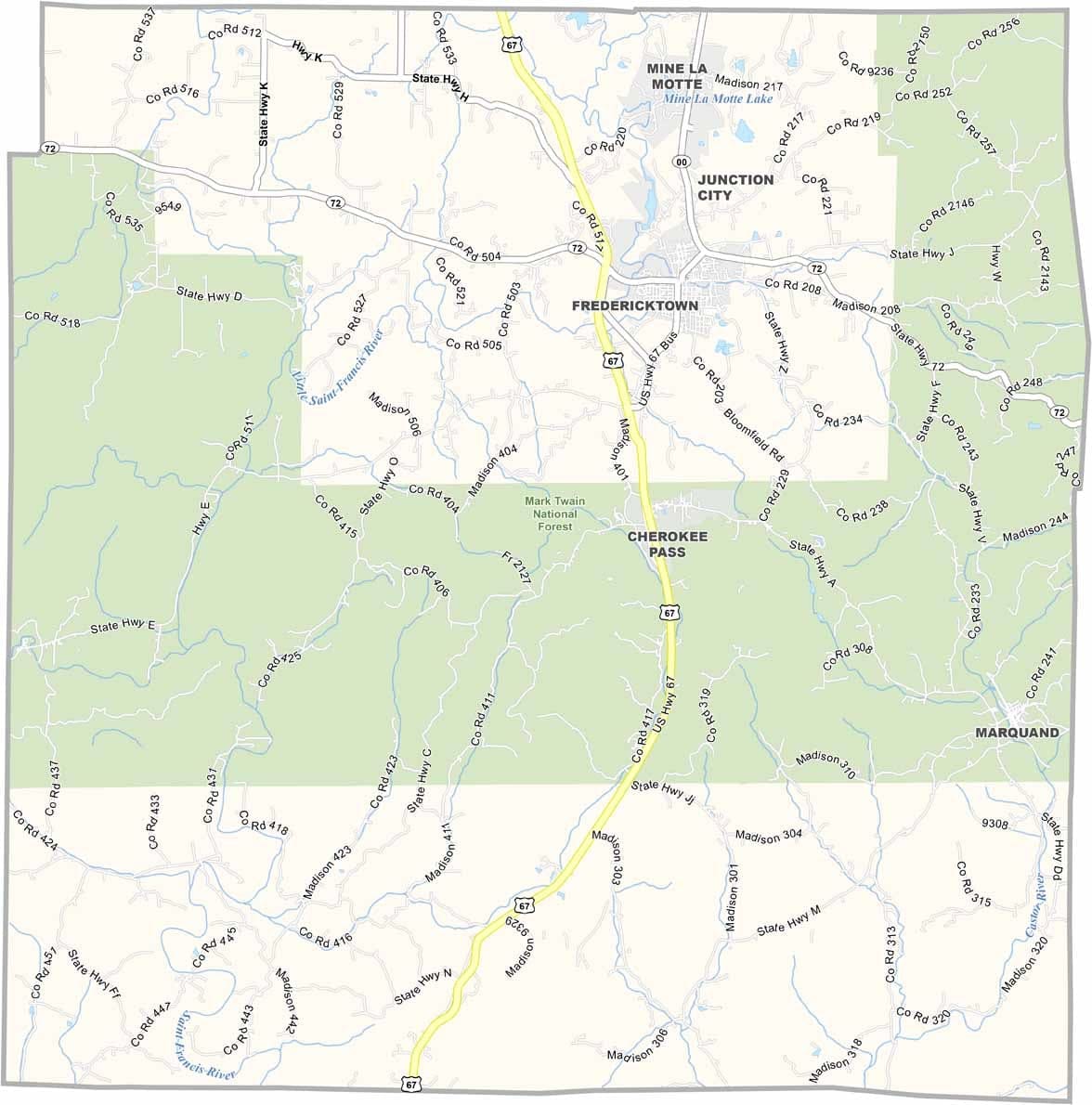
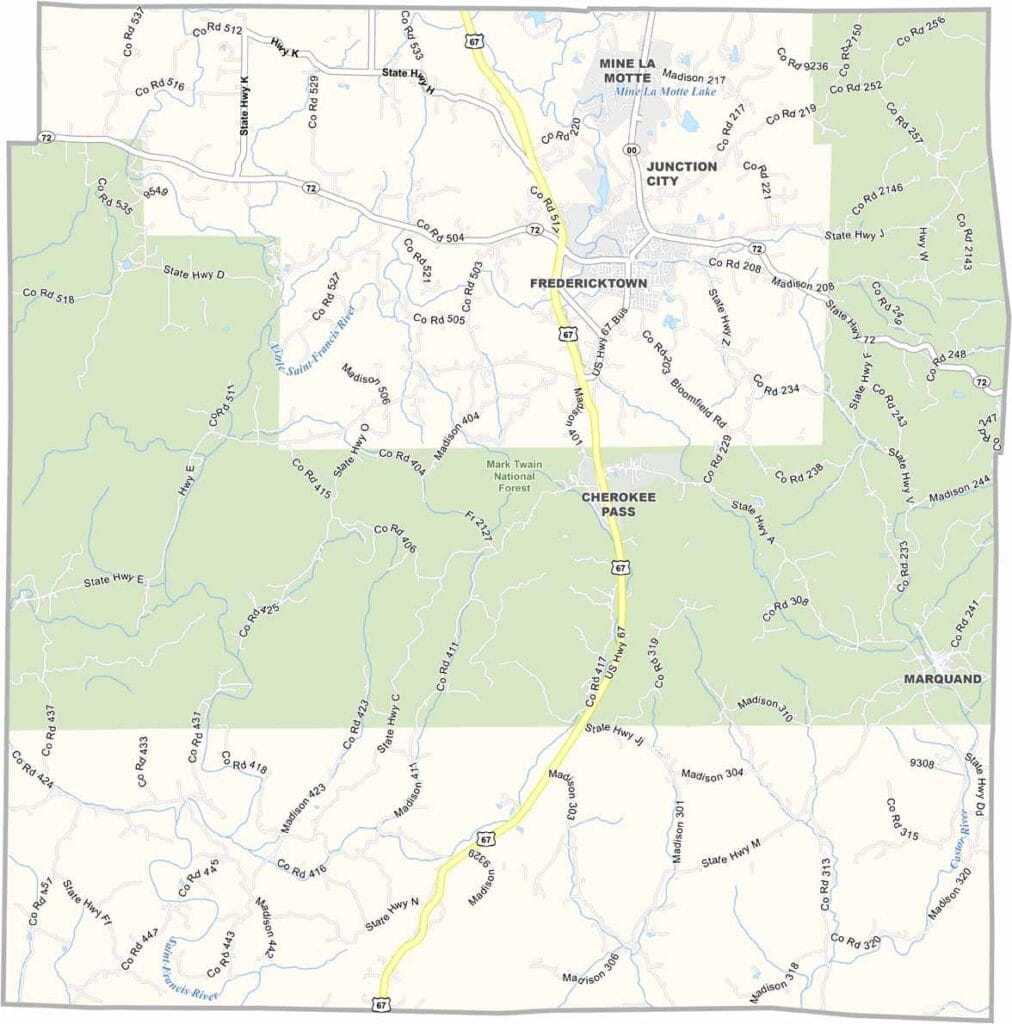
Madison County is located in southeastern Missouri within the Ozark region. Much of the county’s central area is covered by the Mark Twain National Forest, adding to its rugged natural beauty.

Though small in population, the county has a rich mining history. Abandoned mines scattered throughout the area serve as reminders of its once-thriving mining industry. Fredericktown is the county seat and the main center of community life.

Nature is the county’s biggest attraction. Crystal-clear streams, dense forests, and scenic landscapes make it a popular destination for hiking, fishing, camping, and other outdoor adventures. For those who love the outdoors, Madison County offers plenty to explore.
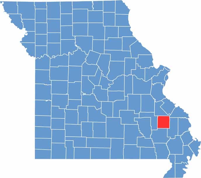

Printable Madison County Missouri location map showing county location and boundaries
Category Details
County Name Madison County
County Seat Fredericktown
Cities, Towns, and Communities Fredericktown, Marquand, Mine La Motte, Buckhorn, Junction City
Interstates and Highways MO 72, MO 67, MO 51
Population Approximately 12,000
FIPS Code 29-123
Total Area (Land and Water) 498 square miles (Land: 494 sq mi, Water: 4 sq mi)
Time Zone Central Time Zone (CT)
State Missouri
Coordinates 37.4753° N, 90.3492° W
Etymology Named after James Madison, the fourth President of the United States
Major Landmarks Millstream Gardens Conservation Area, Silver Mines Recreation Area, Castor River Shut-Ins
Adjacent Counties (and Direction) St. Francois County (North), Perry County (Northeast), Bollinger County (East), Wayne County (South), Iron County (West)
Scroll to Top