
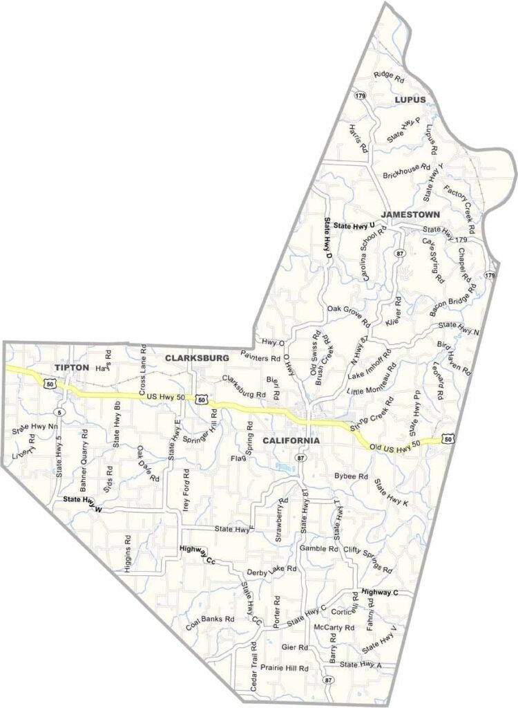
Moniteau County, Missouri

Moniteau County is located in central Missouri, a region known for its rolling hills and fertile valleys. Its name comes from a Native American word meaning “spirit.”

California serves as both the county seat and largest city. Agriculture plays a major role in the local economy, with corn and soybeans among the most common crops grown here.

The annual Ozark Ham & Turkey Festival attracts visitors from across the region. The Missouri River forms part of the county’s northern border, adding to the area's scenic beauty and outdoor appeal.
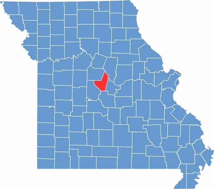

Moniteau Location Map showing towns, roads, and geographic features in Missouri.
Category Details
County Name Moniteau County
County Seat California
Cities, Towns, and Communities California, Tipton, Clarksburg, Jamestown, Lupus, Fortuna, High Point
Interstates and Highways US 50, MO 5, MO 87
Population Approximately 16,000
FIPS Code 29-135
Total Area (Land and Water) 419 square miles (Land: 415 sq mi, Water: 4 sq mi)
Time Zone Central Time Zone (CT)
State Missouri
Coordinates 38.6180° N, 92.5817° W
Etymology Named after Moniteau Creek, derived from an Osage Indian word meaning “spirit”
Major Landmarks Main Street Historic District (California, MO), Tipton Country Club, Old Muny Golf Course
Adjacent Counties (and Direction) Cooper County (Northwest), Boone County (Northeast), Cole County (Southeast), Miller County (South), Morgan County (Southwest)
Scroll to Top


