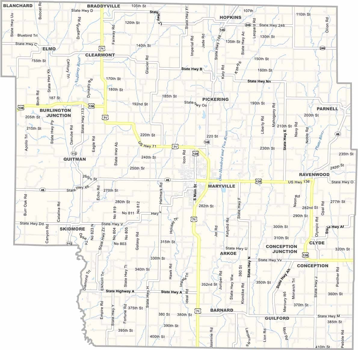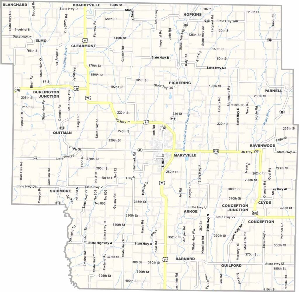
Nodaway County, Missouri

Nodaway County sits in northwestern Missouri along the Iowa border. Maryville is the largest city and home to Northwest Missouri State University, where the Bearcats proudly compete.

Founded in 1845, the county takes its name from the Nodaway River, which winds through the area. Corn and soybeans are the primary crops grown across its fertile farmland.

Known for its wide-open spaces and rural charm, Nodaway County enjoys a slower pace of life. County fairs and high school football are community favorites, and the county’s hardworking residents are a source of local pride.
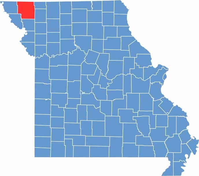

Printable Nodaway County Missouri location map showing county location and boundaries
Category Details
County Name Nodaway County
County Seat Maryville
Cities, Towns, and Communities Maryville, Burlington Junction, Hopkins, Clearmont, Barnard, Skidmore, Pickering, Graham
Interstates and Highways US 71, MO 46, MO 148
Etymology Named after Silas Wright, a U.S. Senator from New York
FIPS Code 29-147
Total Area (Land and Water) 878 square miles (Land: 877 sq mi, Water: 1 sq mi)
Time Zone Central Time Zone (CT)
State Missouri
Coordinates 40.3606° N, 94.8339° W
Population Approximately 22,000
Major Landmarks Northwest Missouri State University, Mozingo Lake Recreation Park, Nodaway County Historical Society Museum
Scroll to Top