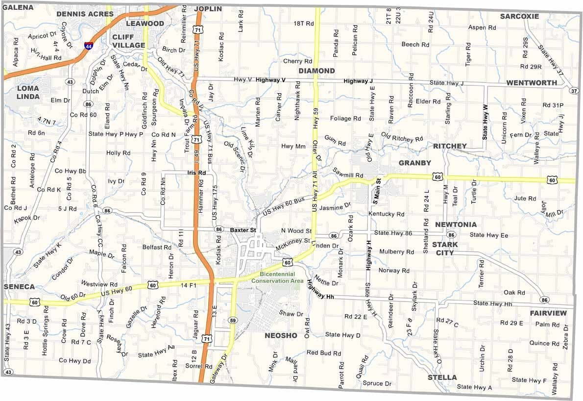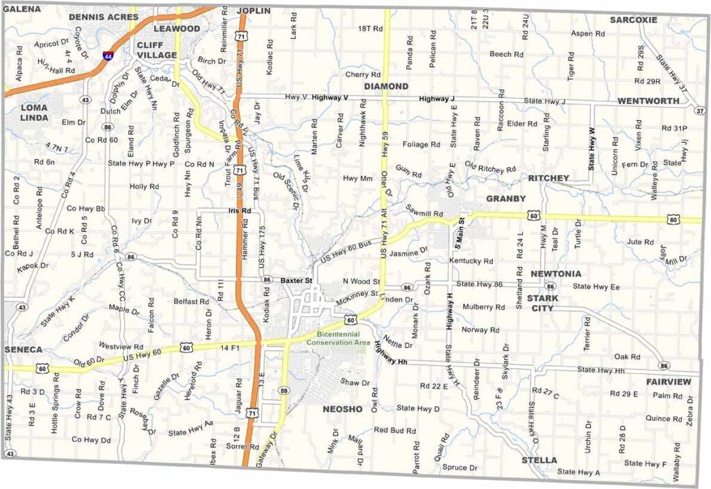
Newton County, Missouri

Newton County lies in southwest Missouri, where the Ozarks begin to rise from the surrounding prairies. The landscape blends rolling hills with open farmland, making for scenic drives across the county.

Residents take pride in their connection to George Washington Carver, who spent part of his childhood here. The county is home to the George Washington Carver National Monument, honoring his life and legacy.

Fishing is a favorite pastime, with Shoal Creek providing excellent opportunities for anglers. Home to around 60,000 residents, the county also attracts outdoor enthusiasts with places like the Fort Crowder Conservation Area.
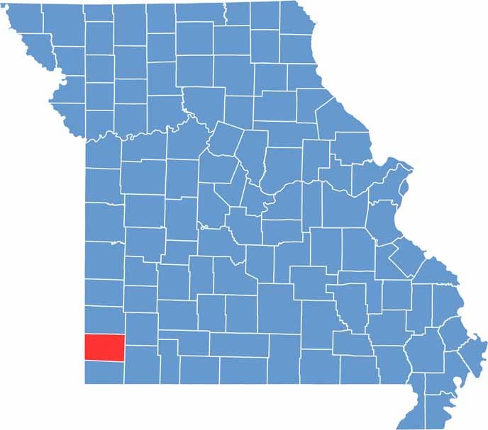

Printable Newton County Missouri location map showing county location and boundaries
Category Details
County Name Newton County
County Seat Neosho
Cities, Towns, and Communities Neosho, Joplin (part), Seneca, Granby, Diamond, Stella, Fairview, Newtonia, Ritchey
Interstates and Highways I-49, US 60, MO 59, MO 86
Etymology Named after Silas Wright, a U.S. Senator from New York
FIPS Code 29-145
Total Area (Land and Water) 627 square miles (Land: 625 sq mi, Water: 2 sq mi)
Time Zone Central Time Zone (CT)
State Missouri
Coordinates 36.8721° N, 94.3791° W
Etymology Named after John Newton, an officer in the American Revolutionary War
Major Landmarks George Washington Carver National Monument, Neosho National Fish Hatchery, Newton County Historical Park
Adjacent Counties (and Direction) Jasper County (North), Lawrence County (Northeast), Barry County (Southeast), McDonald County (South), Ottawa County, Oklahoma (West), Cherokee County, Kansas (Northwest)
Scroll to Top