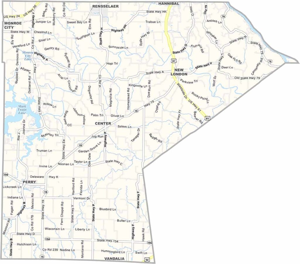
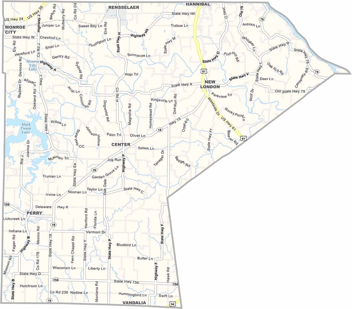
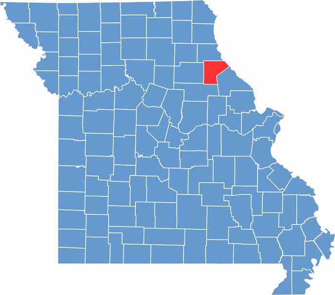
Ralls County is located in northeastern Missouri, with the Mississippi River forming its eastern boundary. Known for its peaceful rural setting and scenic landscapes, the county offers a quiet way of life that reflects the character of small-town America.
New London serves as the county seat and is a close-knit community with a welcoming atmosphere. Established in 1820, Ralls County has a long and storied history that remains an important part of its identity today.
The county is situated near Hannibal, the hometown of Mark Twain, giving residents and visitors easy access to one of Missouri’s most famous historical attractions. Agriculture also plays a major role in the local economy, and the countryside is dotted with farms and fields that showcase the region’s rich farming heritage.

Wright County Map Missouri

Worth County Map Missouri
Wayne County Map Missouri
Warren County Map Missouri
Washington County Map Missouri
